Ziros (Ζίρος), is a village and the seat of the Ziros municipal unit in the municipality of Sitia, in eastern Crete, Greece.
Location
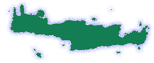
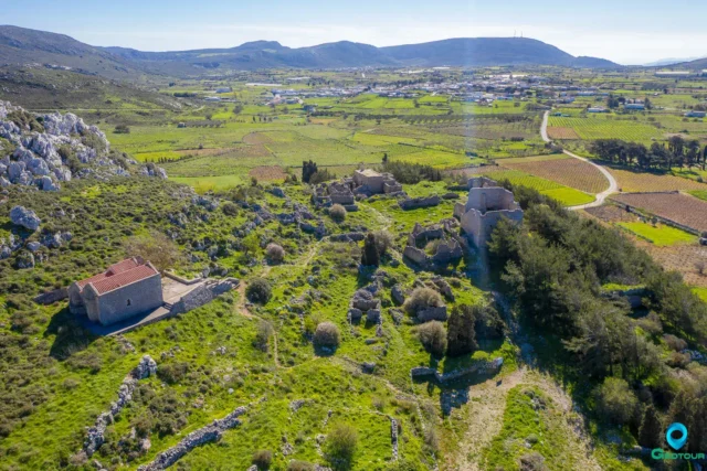
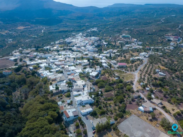
Ziros is built at an altitude of 590 meters on the southern foothills of Mount “Engremnos” (785 m), at the northwestern edge of the plateau of Armenohandrades, also known as the plateau of Ziros. The fertile plateau is cultivated with olive trees and vineyards. There used to be a small lake where the central square of the village is now located. The area around the village is characterized by limestone rocks with karst formations such as sinkholes and caves. The most famous caves in the area are the Agrilia Cave, the Lygia Cave, and the Voevodas Cave in Lagadas. Ziros is located 31 kilometers from Sitia, and a short distance to the west is the settlement of Handras.
History
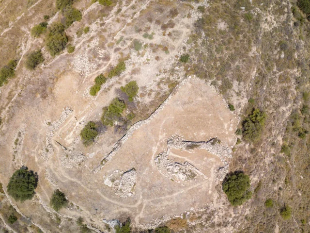
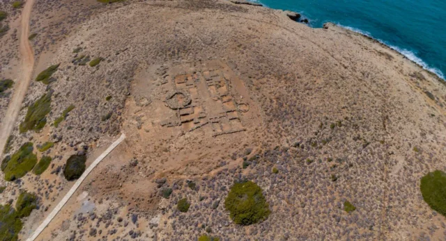
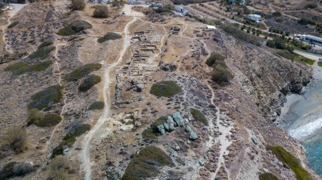
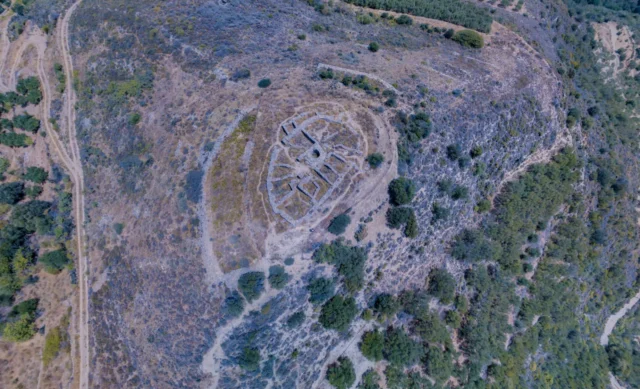
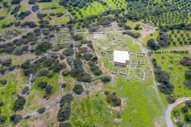
The area of Ziros is rich in archaeological remains, but no systematic excavation has been carried out. Near the village of Chamaitoulo, at the site of Vrysi, a large Minoan settlement with cyclopean walls has been found, and at the site of Limnia or Paralaki Mandra, between Chamaitoulo and Ziros, another Minoan settlement has been found. Archaic villages have been identified at the sites of Agios Ioannis and Katergari well, an ancient settlement at the site of Stalos, and a protogeometric settlement a little further east. Circular and tholos tombs were found at the sites of Kato Stalos and Katsouliano, at the site of Pyrgales there are ruins of a Minoan villa, at the site of Foukas a Minoan settlement, at the site of Pentalitro a Minoan acropolis, and at the site of Anemomylia a Late Minoan building. A Roman settlement and tomb were found at the site of Plakospilios.
The earliest written mention of the settlement is made by Francesco Barozzi in 1577, who refers to it as Siro in the province of Sitia. In 1581, a contract mentions that it was the mother fiefdom of Andreas Kornaros. In the Venetian census of 1583 by Petros Castrophylacas, it is referred to as Ziro with 448 inhabitants, and Francesco Basilicata in 1630 as Sciro. In the Turkish census of 1671, it is referred to as Ziro with 84 haratsia. During the revolution of 1821, the Turks, following an order by the self-proclaimed governor of Sitia, Ibrahim Afentakis, gathered the Christian inhabitants of the surrounding villages under the pretext of reading a firman, with the ultimate goal of slaughtering them, which they did. However, they did not kill the inhabitants of Ziros, saying that they needed them to cultivate the land. In the Egyptian census of 1834, it is reported that it had 30 Turkish and 30 Christian families. In the census of 1881, it is referred to as Ziros with 433 Christian and 186 Muslim inhabitants and belonged to the municipality of Handras. In the census of 1900, it is referred to as Zyros, in the census of 1928 as Ziros, and in the census of 1940 as Ziros.
The cleric, theologian, and new martyr of the Asia Minor Catastrophe, Iakovos Archatzikakis, was born in Ziros.
Points of Interest
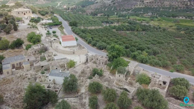
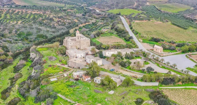
In the village are the churches of Agios Nikolaos (Saint Nicolas), Agios Georgios (Saint George), and Agia Paraskevi (Saint Paraskevi). The church of Agia Paraskevi has frescoes dating back to 1523, a date engraved on the lintel of the eastern door. In the central part of the village, there is a preserved residence with Venetian architecture, with a cubic shape and two floors. In the church of Agios Nikolaos, there are engravings from 1507 and 1515.
Economy
The main economic activities in Ziros are agriculture and livestock farming. The main cultivation of the plateau is the vineyard, and very good qualities of grapes are produced here (mainly Liatiko and Soultani varieties), which are intended for the production of wine, raisins, and the traditional distillation of Cretan raki. The other important element for the economy of Ziros, livestock farming, utilizes all the surrounding mountains, and the production of meat and cheeses, sheep and goats, is still a source of pride for this area and is carried out with care and passion, following even today ancient traditions.
Settlement: Key Points
-
Historical References: Mentioned as Siro in 1577, Ziro in the 1583 Venetian census, and Ziro with 84 haratsia in the 1671 Turkish census.
-
Location: Eastern Crete, on the southern foothills of Mount Engremnos, at the northwestern edge of the Armenohandrades plateau.
-
Historical Significance: Rich in archaeological remains, including Minoan settlements and a Roman settlement.
-
Population Data:
YearPopulationNotes1881619433 Christians, 186 Muslims19005281928742194076619517351961944197171419816681991654200156720113932021310 -
Current Status: A village with a declining population, but still preserving its traditional architecture and character.
References
Access
Ziros is 15.2 kilometers away from Siteia and 3.9 kilometers away from Chandras













There are no comments yet.