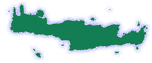
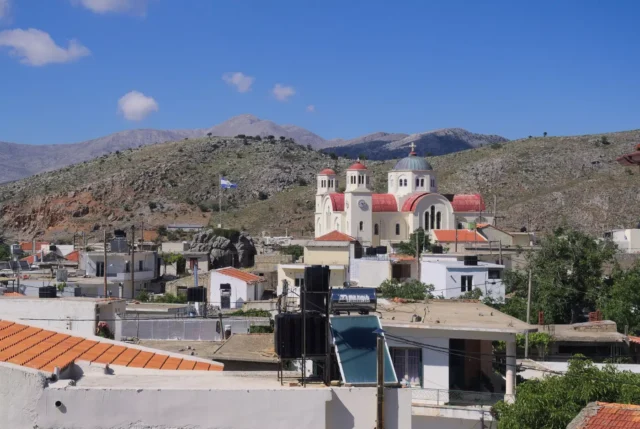
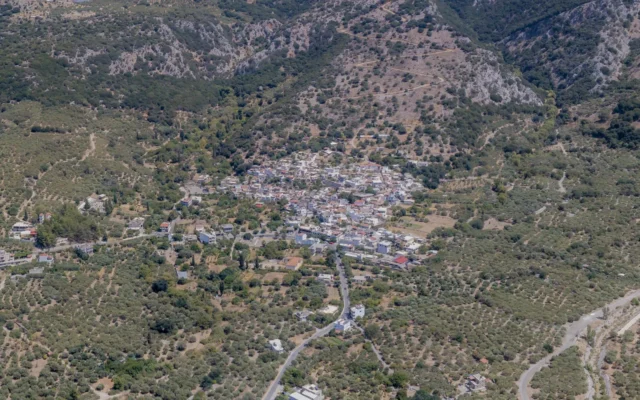
Tzermiado (officially: Τζερμιάδον), sometimes spelled “Tzermiadon,” is a village in the Lasithi regional unit on the island of Crete, Greece. It is the seat of the Municipality of Oropedio Lasithiou (Lasithi Plateau) and is located within the plateau itself, at an altitude of 840 meters.
The village has a population of 637 inhabitants (2011 census). Tzermiado has a Gymnasium (lower secondary school) and a Lyceum (upper secondary school), a health center, bank branches, and a post office. The primary school closed in 2014 due to a lack of students and merged with the school in Agios Georgios. The main occupation of the residents is the cultivation of potatoes and other vegetables. Tzermiado is located 49 km west of Agios Nikolaos and 55 km east of Heraklion.
History
Archaeological Evidence:
- Neolithic to Minoan: The area around Tzermiado has evidence of habitation since the Neolithic period. Findings include:
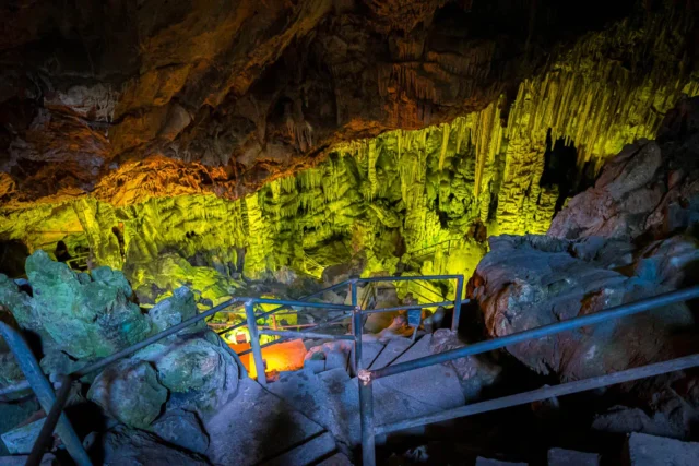
- Trapeza Cave (Kronion): Located east of the village, this cave is believed to have been inhabited from the Neolithic to the Early Minoan period. It later became a burial site and a sanctuary.
- Kastelos Site: This site east of the village has revealed burials and dwellings dating from the Neolithic to the Middle Minoan period.
- Argoulias Cave: Pottery shards from the Neolithic to the Late Minoan period have been found in this cave.
- Skafidia Cave: Neolithic burials have been discovered in this cave.
- Ponta Agia Anna: This location has yielded Late Minoan pottery shards and Archaic, Hellenistic, and Roman artifacts.
Historical Records:
- Venetian Census (1583): The settlements of Alogospelio, Gaitanou, and Skafindia are mentioned in the 1583 census of Castrophylacas. These names are preserved today as neighborhoods within Tzermiado.
- Early Mention (1630): The earliest mention of the name “Tzermiado” appears in a 1630 document by Francesco Basilicata as “Zermiades.” It was the largest village in the province at that time.
- Origin of the Name: The name Tzermiado is believed to be derived from the surname of the first settlers, the “Tzermiades.”
- Ottoman Period: The 1671 Ottoman census refers to the village as “Cermyado.” In the 1834 Egyptian census, 100 Christian families were recorded.
- Cretan Revolt (1866-1867): During the Cretan revolt against Ottoman rule, the Turks surrounded the rebel leader Korakas in Tzermiado. The village was destroyed in the ensuing battle.
- Municipality Formation (1879): The municipality of Tzermiado was created, encompassing half of the villages in the Lasithi Plateau.
Climate
Tzermiado has a continental climate with moderate rainfall and frequent frosts during the winter. From September to November, the weather is generally mild and sunny. After mid-November, it becomes colder and wetter, with occasional snowfall.
Village Key Points
- Historical References:
- 1583 census of Castrophylacas
- 1630 document as “Zermiades”
- 1671 Ottoman census as “Cermyado”
- Location: Lasithi Plateau, Lasithi regional unit, Crete, Greece. 49 km west of Agios Nikolaos, 55 km east of Heraklion.
- Altitude: 840 meters
- Historical Significance: Inhabited since the Neolithic period, important Minoan sites nearby, role in the Cretan revolt of 1866-1867.
- Population:
Year |
Population |
|---|---|
1881 |
898 |
1900 |
918 |
2011 |
637 |
2021 |
609 |
- Current Status: Active village, seat of the Municipality of Oropedio Lasithiou, agricultural economy (potato and vegetable cultivation).
Access
Tzermiado is 12.3 kilometers away from Neapoli and 9.4 kilometers away from Malia






There are no comments yet.