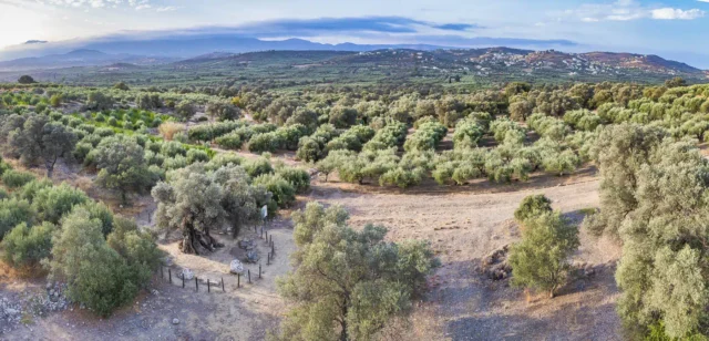
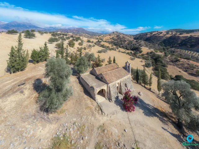
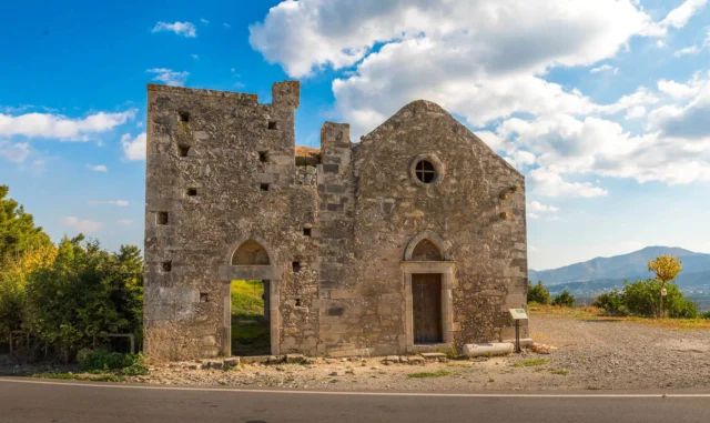
Tympaki, officially known as Tympakion, is a small town and the historical seat of both the Phaistos Municipality and the Tympaki community within the Heraklion Regional Unit on the island of Crete, Greece. In the past, it served as the capital of the Pyrgiotissa province in the Heraklion prefecture. The town is located 65.5 kilometers south of Heraklion. The primary occupations of its residents are olive cultivation and the farming of fruits, vegetables, and flowers. The patron saint of Tympaki is Agios Titos, and the town also boasts churches dedicated to the Holy Spirit, Saint Catherine, and Saint Nektarios.
Historical References
Tympaki’s historical narrative extends beyond its official recognition in 1925. The settlement’s presence predates the 20th century, evidenced by its mention in historical records associated with the nearby Agios Andreas settlement. The town’s evolution is marked by a significant turning point during World War II when it was tragically razed and subsequently rebuilt, leaving an indelible mark on its architectural landscape.
The construction of the Tympaki airport during the war further underscores the town’s strategic importance in the broader context of the conflict. This airfield, initially intended for military purposes, continues to play a role in the region today, hosting various activities and events.
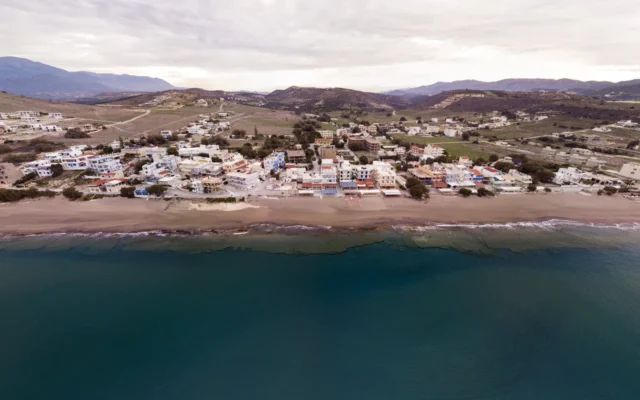
In earlier times, Tympaki was plagued by malaria, unlike today, where the climate is healthy. In the location of the Kokkinos Pyrgos settlement, there used to be a tower built with red soil, hence the name of the current settlement.
The origin of the town’s name remains unknown. The theory that it derives from the word “tymbos” (tomb), stemming from the idea that the settlement was founded by inhabitants of the Agios Andreas settlement, is considered unfounded by Stergios Spanakis. However, other sources support this interpretation. Agios Andreas is mentioned in the Kastrofilakas with 63 inhabitants. Nevertheless, the settlement of Cimbachi (Tympaki) predates Agios Andreas. The interpretation from the word “tymbos” is also unfounded for an additional reason: tombs are not found in Crete, nor were they ever used in the past as a burial method.
Location
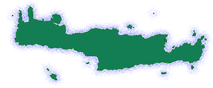
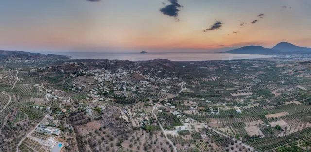
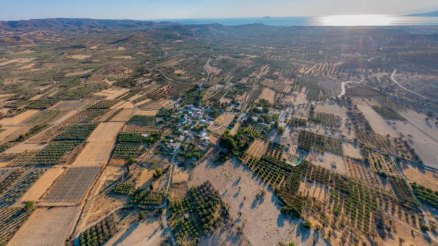
Tympaki’s geographical position contributes to its unique character and multifaceted appeal. Situated within the fertile Messara plain, the town enjoys proximity to both agricultural resources and stunning natural beauty. Its location, approximately 65 kilometers southwest of Heraklion, places it within easy reach of the island’s capital while offering a respite from the urban hustle and bustle.
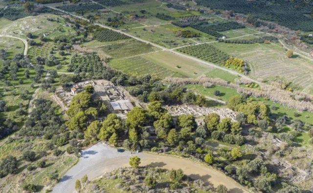
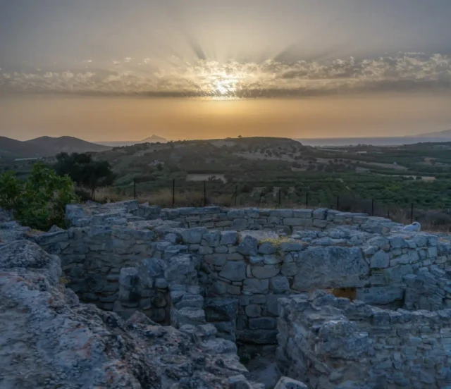
Furthermore, Tympaki’s proximity to the coast and renowned archaeological sites like Phaistos and Agia Triada enhances its allure for both residents and visitors. The town serves as a gateway to exploring the rich cultural heritage and natural wonders of southern Crete.
Historical Significance
Tympaki’s historical significance lies not only in its ancient roots but also in its resilience and adaptability in the face of adversity. The town’s reconstruction following its destruction during World War II exemplifies the spirit of its people and their determination to rebuild their community. The presence of the Tympaki airport, a relic of the war, serves as a tangible reminder of the town’s historical role and its connection to global events.
Population Data Over the Years
Year |
Population |
|---|---|
1900 |
1,443 |
1920 |
882 |
1928 |
1,855 |
1940 |
2,374 |
1951 |
3,477 |
1961 |
2,816 |
1971 |
3,229 |
1981 |
3,864 |
1991 |
5,230 |
2001 |
5,007 |
2011 |
5,285 |
Current Status
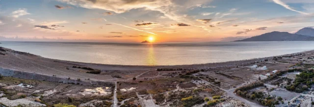
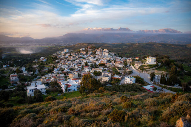
Tympaki is a small town of approximately 5,000 inhabitants, located 65 kilometers southwest of Heraklion. It is surrounded by beautiful traditional villages, such as Voroi, Kamilari, Siva, and Pitsidia. The sandy beaches of Kokkinos Pyrgos, Kommos, Kalamaki, and the famous Matala are also within close proximity. The archaeological sites of Phaistos and Agia Triada also belong to the Municipality of Tympaki.
The main reason for the poor architecture of Tympaki is the fact that during World War II, Tympaki was evacuated and razed by the Germans and rebuilt from scratch. The Germans kept a few buildings for themselves, but with the materials from the demolished houses, they built the nearby Tympaki airport, with which they could control the southeastern Mediterranean. Even today, the airport operates as an air detachment, while also offering services to Air Force officers as a holiday resort. In the summer, the runway hosts car races, and there is also a skydiving club.
Near Tympaki, the Geropotamos River, the largest river in Messara, flows into the sea, while a small wetland is formed at the Kataliki location. In the past, the many wetlands caused the spread of malaria to the few inhabitants of the area.
Village Key Points
- Historical References: First officially mentioned in 1925, significant historical events include its destruction and rebuilding during World War II.
- Location: 65 kilometers southwest of Heraklion, in the Messara plain, near the coast and several archaeological sites.
- Dimensions: A small town with a population of approximately 5,000.
- Historical Significance: Played a role in World War II due to its strategic location, impacting its current architecture.
- Population data over the years: Significant population growth since 1900, reaching around 5,000 today.
- Current Status: A thriving agricultural town with nearby beaches and historical sites, also known for its airport and motorsports events.
Access
Tympaki is 13.8 kilometers away from the town Zaros and 8.0 kilometers away from Agia Galini


There are no comments yet.