
You may be interested as well in the “The Evolution of Aqueducts in Crete: A Testament to Ingenuity and Adaptation” post.
The aqueduct of Chersonesos stands as a testament to Roman engineering prowess and the city’s flourishing status during the Imperial era. Built sometime in the 1st century BC or 1st century AD, this remarkable feat of hydraulic engineering ensured a steady water supply to the burgeoning coastal city. The aqueduct’s construction, likely undertaken during the reign of Claudius, was part of a broader Mediterranean-wide initiative to improve harbor facilities, underscoring Chersonesos’ growing importance in the region.
Engineering and Construction
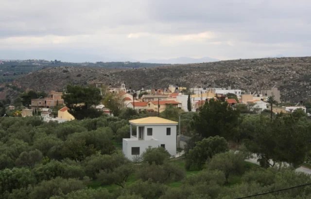
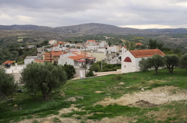
The aqueduct, stretching an impressive 14 kilometers, tapped into two distant water sources: one at “Leontari” in Krasi and another south of the Kalo Chorio Pediados reservoir. The water from these sources converged into a single channel, skillfully navigating the challenging terrain of hills, ravines, and steep slopes. The aqueduct’s transport capacity was notably twice that of the nearby Lyktos aqueduct, highlighting the significance of Chersonesos’ water needs.
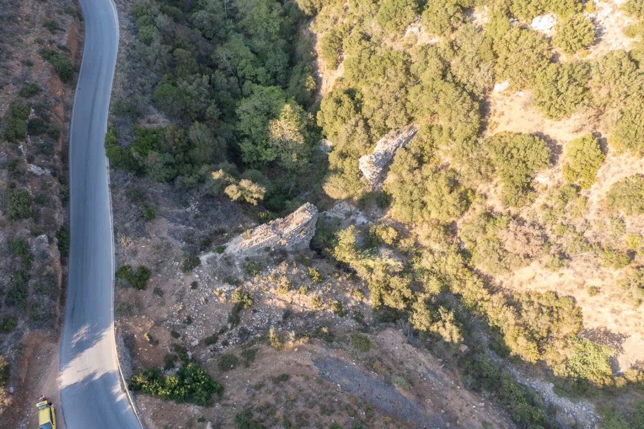
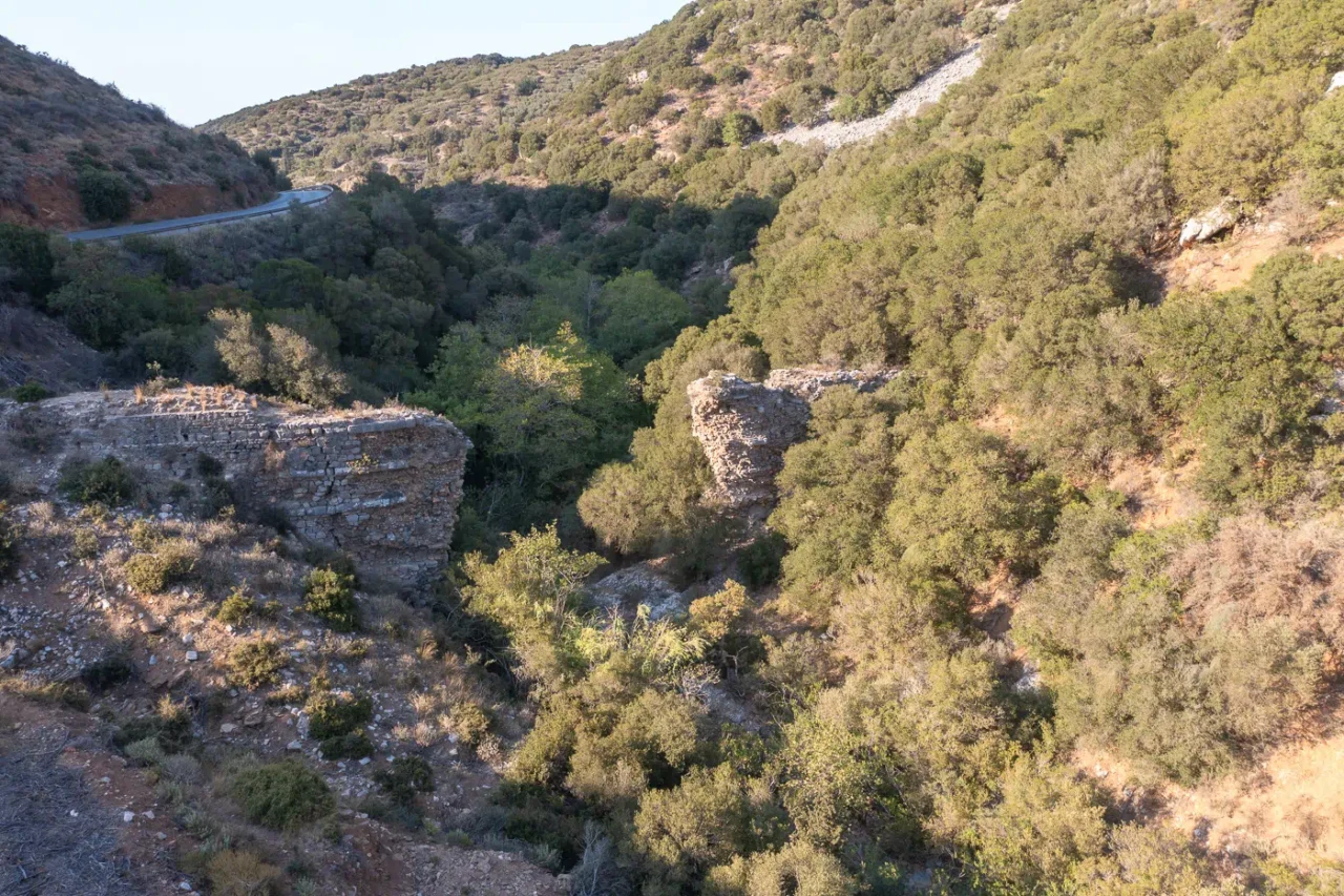
The aqueduct’s construction showcased Roman ingenuity in overcoming topographical challenges. Bridges and wall constructions supported the elevated channel, ensuring a smooth flow of water across the uneven landscape. The water ultimately reached a massive covered cistern on a hill south of the harbor, capable of holding an astounding 5,596.25 cubic meters. This cistern, partially carved into the natural rock, featured a partition with arches to manage water pressure and support the structure. From this reservoir, clay pipes distributed the water throughout Chersonesos, providing for the needs of its inhabitants and enhancing the city’s beauty with fountains and other water features.
Significance and Context
The Chersonesos aqueduct played a pivotal role in the city’s development during the Roman period. The reliable water supply it provided supported population growth, urban expansion, and economic activities. The presence of numerous public and private baths, a monumental fountain, and extensive water cisterns in Chersonesos underscores the importance of the aqueduct in shaping the city’s infrastructure and daily life.
The construction of the aqueduct also reflects the broader context of Roman rule in Crete. The island’s strategic location and agricultural potential made it an attractive destination for Roman investment and settlement. The development of infrastructure, such as harbors and aqueducts, facilitated trade and economic growth, transforming Crete into a vital hub in the Mediterranean network.
Comparison with Other Cretan Aqueducts
The Chersonesos aqueduct shares similarities with other Roman aqueducts on Crete, particularly the one at Lyttos. Both structures demonstrate the Romans’ mastery of hydraulic engineering and their ability to adapt to the island’s challenging terrain. The Lyktos aqueduct, also built in the 2nd century AD, spanned 22 kilometers and supplied water to the inland city from a distant spring. Both aqueducts employed similar construction techniques, including elevated channels, bridges, and cisterns, showcasing the standardization of Roman engineering practices across the island.
Archaeological Site: Key Points
- Construction Period: 1st century BC or 1st century AD (likely under Claudius)
- Location: Chersonesos (modern Hersonissos), Crete
- Dimensions: 14 kilometers in length, with a main cistern measuring 58 meters long, 22 meters wide, and 5.5 meters deep
- Historical Significance: A testament to Roman engineering and the city’s prosperity during the Imperial era, facilitating urban development and economic growth
- Current Status: Partially preserved, with visible remains of the cistern, bridges, and sections of the pipeline
References
- Angelakis, A.N.; Christodoulakos, Y.; Tzanakakis, V.A. Roman Aqueducts in Crete, Greece: Learning From the Past. Water 2021, 13, 1069. https://doi.org/10.3390/w13081069
- New archaeological discovery in Hersonisos – An ancient aquaduct pipeline comes to light, in.gr
Access
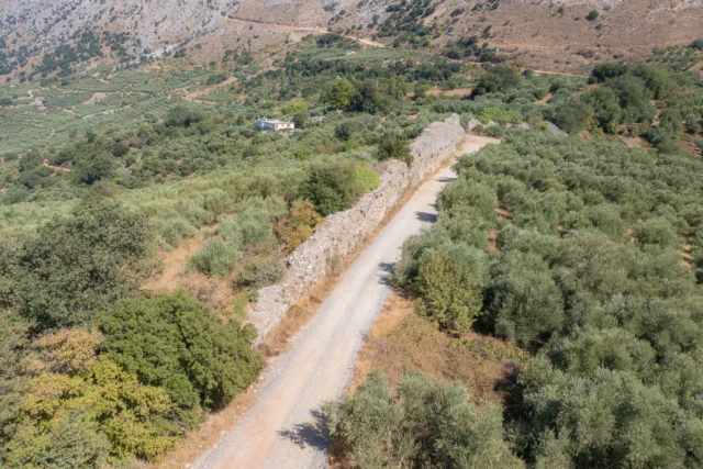
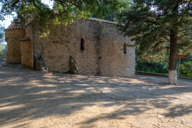
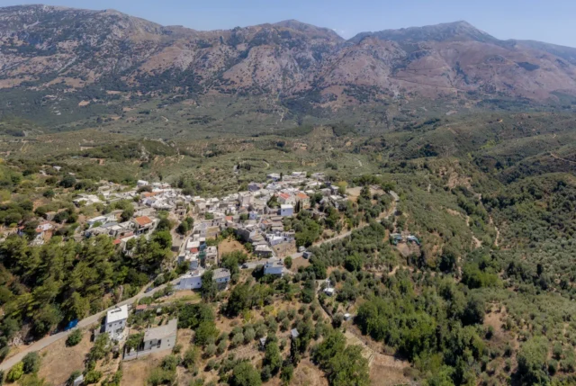
Since the aqueduct is extending many kilometers and is mostly not visible, or destroyed is hard to pin point the locations and how to access it.









There are no comments yet.