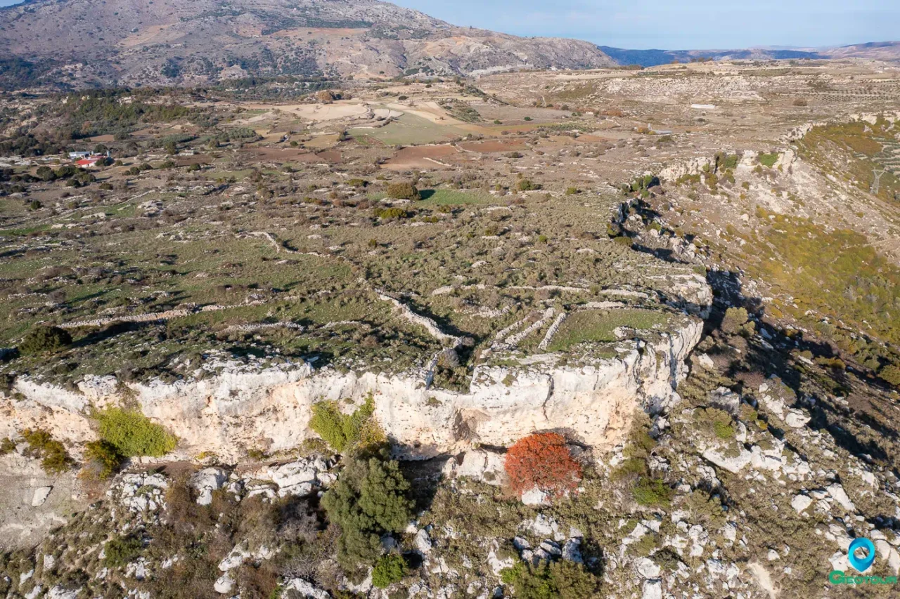
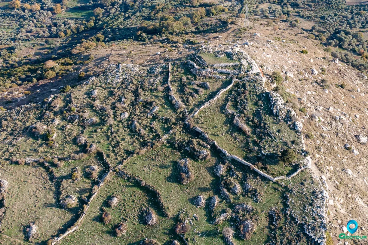

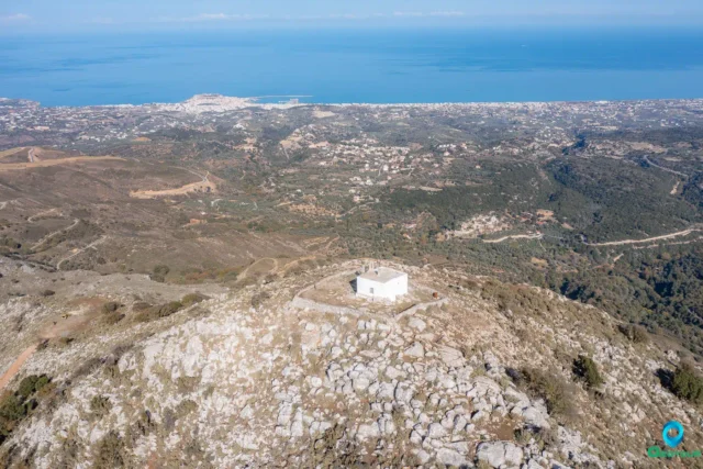
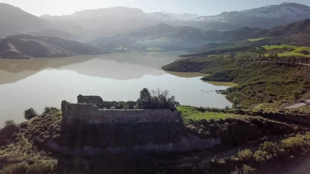
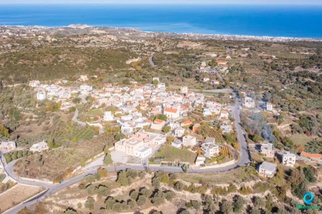
The Acropolis of Onithe is a prominent feature of the archaeological site, located at the highest point of the triangular slope. Its strategic position, at an elevation of 638 meters, provided a commanding view of the surrounding area, including the road to Agios Vasilios and the valley connecting the provinces of Agios Vasilios and Amari.
Current State and Features
The acropolis is defined to the south by a steep cliff, eliminating the need for fortification on that side. The other two sides are enclosed by a pseudo-isodomic wall, forming a right angle with sides of 12 meters in length.
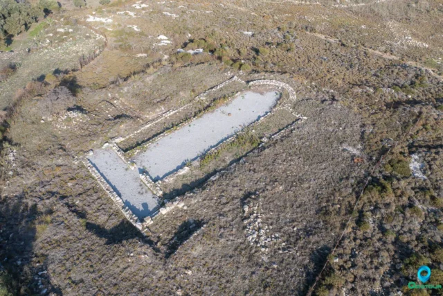
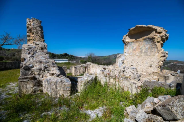
On the west side, where the gate was located, there was a tower, now barely visible, that controlled access to the acropolis. Further west, the rock has been hewn to form an elongated opening, resembling a canal, with a floor on two levels and a carved parapet facing the cliff. This feature likely served a defensive purpose, possibly as a guard post.
History and Phases
The acropolis appears to have undergone several construction phases. Its current form is likely a reconstruction from the Hellenistic period, a time when many Cretan cities reinforced or rebuilt their fortifications.
The earliest construction phase could date back to the Post-Minoan period (circa 1400 BC). The discovery of Proto-Minoan and Late Minoan pottery in the wider area suggests the possibility of a prehistoric settlement at Onithe. During the period following the fall of the Minoan palaces, external threats and internal conflicts led people to seek refuge in remote, mountainous locations like Onithe, which offered natural defenses and essential resources such as water.
A Strategic Location
The strategic location of the acropolis made it a likely site for military encounters. During the Cretan revolts in the modern era (1821, 1878, and 1897), Onithe played an active role, as documented in folk poetry. The modern name ‘Ntapia,’ used to describe the area around the acropolis, reflects its historical association with fortifications (‘ntapia’ meaning ‘fortification’ or ‘stronghold’).
Site: Key Points
- Construction Period: Hellenistic period (likely reconstruction), possibly with earlier phases dating back to the Post-Minoan period.
- Location: Highest point of the Onithe plateau (elevation 638 meters).
- Dimensions: The enclosing wall forms a right angle with sides of 12 meters.
- Historical Significance: Served as a strategic defensive position, overlooking key passages and controlling access to the settlement.
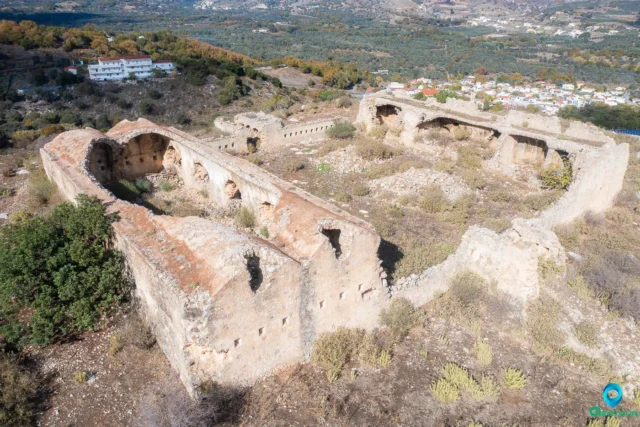
- Current Status: Partially preserved, with visible walls and traces of a tower. The south side is defined by a natural cliff.
The Acropolis of Onithe remains a powerful symbol of the strategic importance and resilience of this ancient Cretan settlement. Its well-preserved features offer a tangible connection to the defensive needs and military realities of the past.
References
- K. Psaroudakis, Archaiologia Online
- N. Platon, 1956, ‘Excavation at Onithe Gouledianon, Rethymno,’ Praktika tis Archaiologikis Etaireias, pp. 378-382.












There are no comments yet.