The high and the low water level
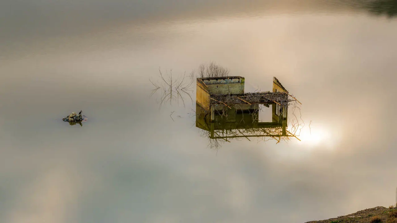
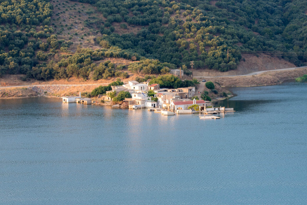
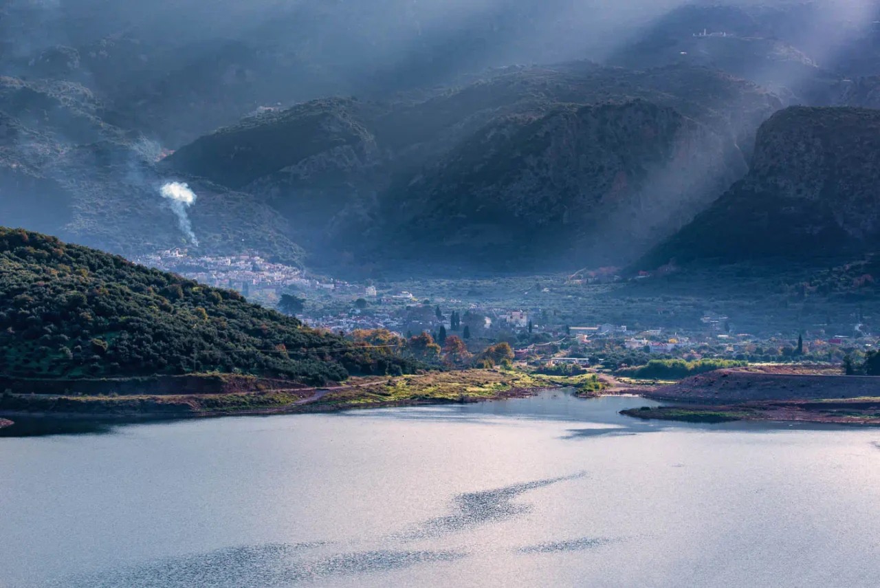
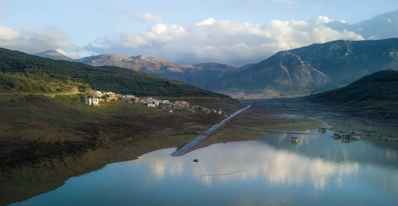
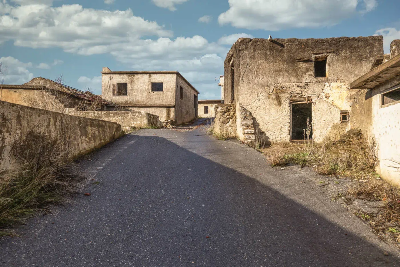
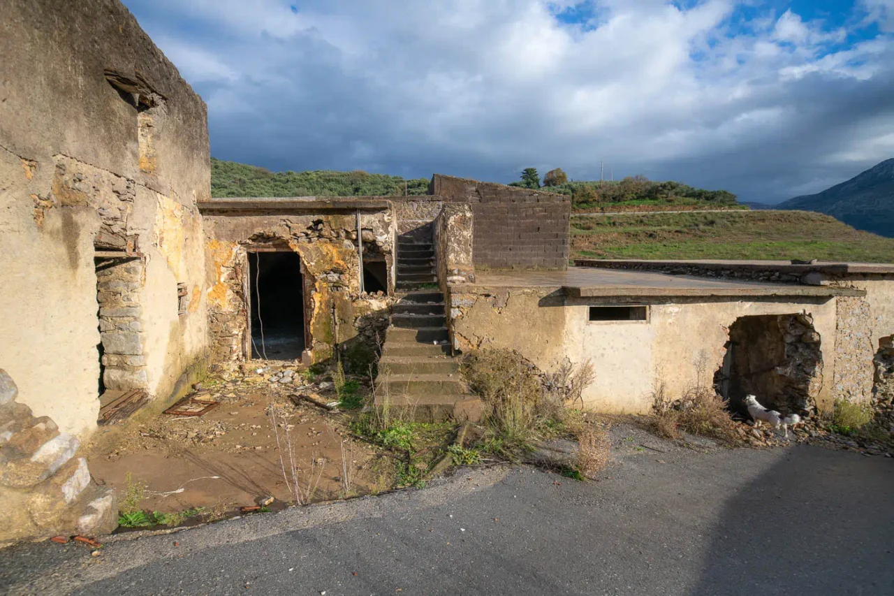
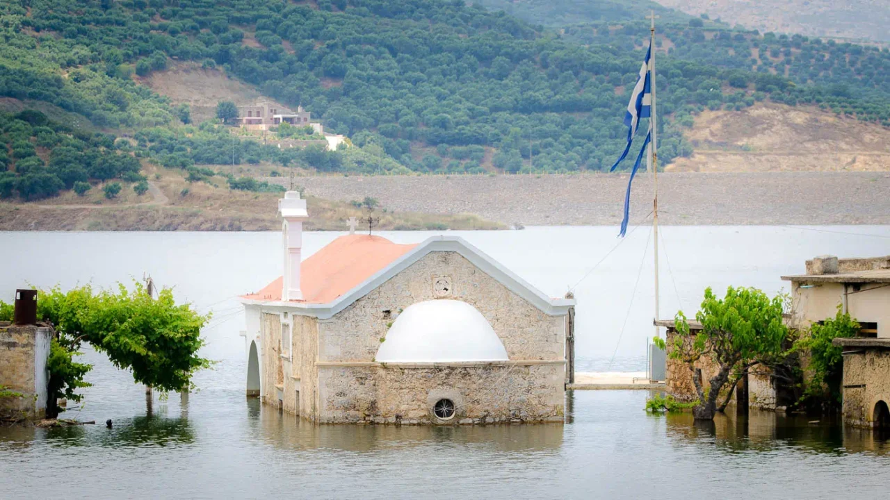
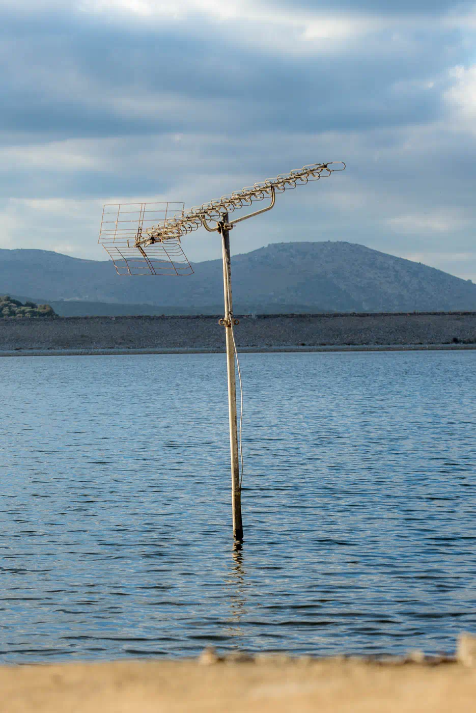
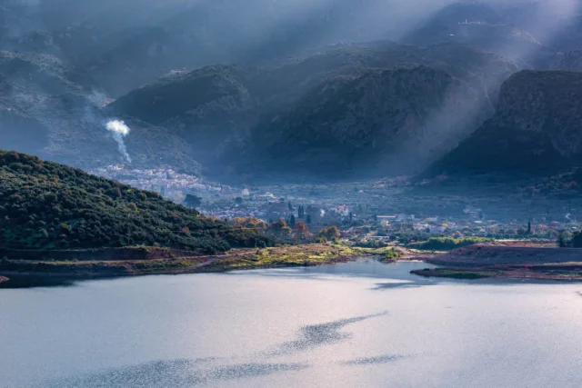
Sfendyli, a once-inhabited village in Crete, Greece, now lies partially submerged beneath the waters of the Aposelemis Dam reservoir. The village’s fate was sealed with the completion of the dam in 2012, forcing its residents to relocate and leaving behind a ghost town.
The Rise and Fall of Sfendyli
Historical records indicate that Sfendyli existed as early as 1577, taking its name from the surname of its original inhabitants. The village endured for centuries, even serving as a fiefdom under the Latin Bishopric of Chersonissos during the Venetian era. It remained inhabited into the 21st century, with a recorded population of 43 in 2011.
The construction of the Aposelemis Dam, the largest water management project in Crete, marked the end for Sfendyli. The dam’s reservoir, built to provide a vital water source for the region, inundated the village’s lower areas. While the Greek government compensated the residents for their properties, the loss of their homes and community was devastating.
Sfendyli Today
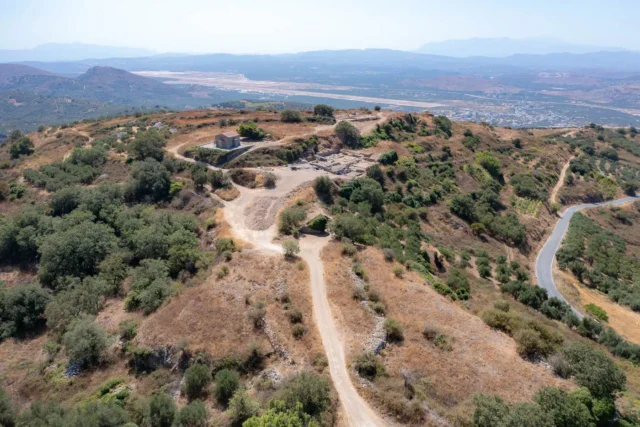
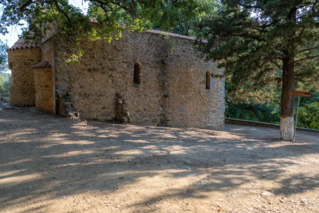
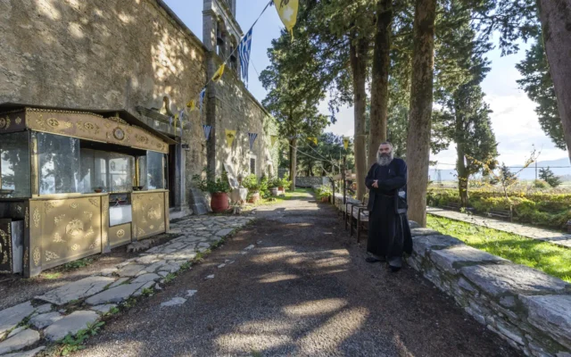
Today, Sfendyli is a haunting reminder of the sacrifices sometimes made in the name of progress. The fluctuating water levels of the reservoir cause the village to alternately emerge and disappear, creating an unusual spectacle that draws visitors. The only structure still standing is the 14th-century Byzantine church of Agios Theodoros, its frescoes and sacred relics preserved by the village’s last inhabitants.
Archaeological Discoveries
Recent archaeological excavations near Sfendyli have unearthed 65 skeletons, believed to be from a Minoan cemetery. This discovery adds another layer of historical significance to the area, highlighting the long and rich history of human presence in this region.
Village Key Points
- Historical References: First documented in 1577, existed under Venetian and Ottoman rule.
- Location: Eastern shore of the Aposelemis Dam reservoir, Crete, Greece.
- Historical Significance: Illustrates the impact of infrastructure development on small communities, and its proximity to significant archaeological finds underscores the area’s historical depth
- Population data over the years: 43 residents in 2011, currently uninhabited.
- Current Status: Partially submerged and abandoned, a tourist attraction due to its fluctuating visibility.
Ρωτήστε γενικά τους ντόπιους, θα σας καθοδηγήσουν γιατί είναι πολύ ευγενικοί.
Το χωριό είναι σαν εμπόλεμη ζώνη αλλά πολύ ενδιαφέρον. Αν
πάς παρακάτω φτάνεις στο φράγμα, που έχει μια σιδερένα σκαλίτσα που μπορείς να ανέβεις & μετά πέτρινα σκαλοπάτια που σε οδηγούν μέχρι κάτω κάτω στο νερό του φράγματος.
Να τόνισω εδώ πως δεν γνωρίζω αν επιτρέπεται αλλά δεν είχε πουθενά πινακίδα που να γράφει απαγορεύεται.
Access
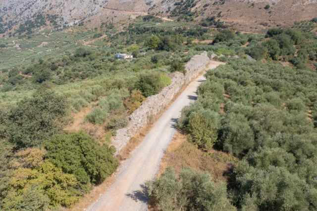
Good quality earth road from Avdou village, but there are signs that forbid access. It is common practice though to ignore these signs and pass towards the village as you can tell from the panorama photo of the virtual tour.










There are no comments yet.