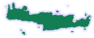
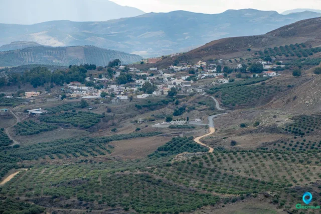
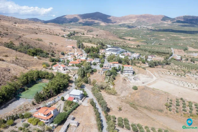
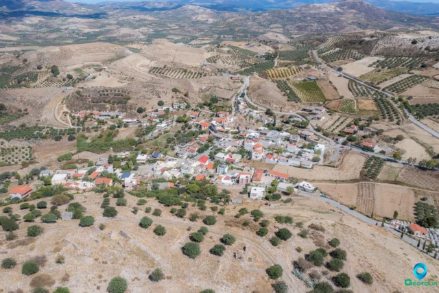
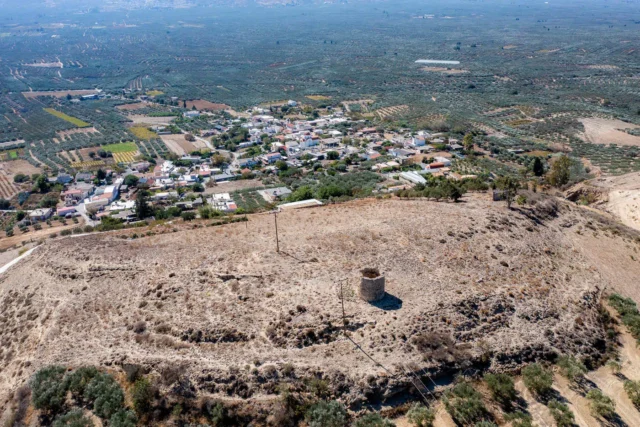
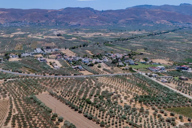
Tefeli (officially Tefelion) is a village in the Municipality of Archanes-Asterousia, Heraklion regional unit, Crete, Greece. It is located at an altitude of 343 meters, approximately 33 kilometers south of Heraklion city. Tefeli is situated in the Asterousia Mountains, northeast of the village of Pyrgos, at a distance of 12 kilometers.
The village has a health center, kindergarten, primary school, and a Gymnasium (lower secondary school). The main occupations of the residents are olive growing, viticulture (producing raisins and wine grapes), and livestock farming. There are also several shops and small businesses in the village, including a cheese factory, a producer of carbonated drinks, a packager of organic products, a bakery, an olive mill, and a pharmacy. Tefeli has traditional cafes, a restaurant, and four traditional “rakokazana” (distilleries for producing raki).
History
The first mention of Tefeli with its current name appears in documents from the Ducal Archive of Chandax (present-day Heraklion) in 1363. The village is listed in all Venetian censuses, including the 1577 inventory by Barozzi and the 1583 census by Castrophylacas, which records 117 inhabitants. In the 1671 Ottoman census, it had 32 “haratsia” (tax-paying households), and the Egyptian census recorded 30 Ottoman families. In 1881, Tefeli became the seat of a municipality with 227 Turkish and only 4 Christian inhabitants.
With the gradual departure of Ottoman families after the Cretan revolts in the 19th century and the liberation of Crete, Christian families from western Crete (Sfakia, Anogia, Akoumia, etc.) settled in Tefeli. The population increased significantly after 1922 with the arrival of refugees from Asia Minor (from the regions of Alatsata, Smyrna, Iconium, and Cappadocia).
Tefeli and the surrounding area experienced economic prosperity mainly from raisin cultivation. Today, it is primarily an olive-producing region.
Landmarks
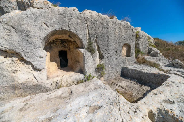
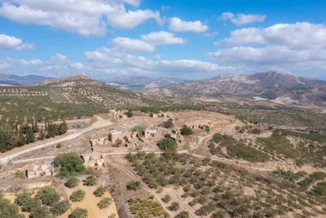
- Old Village: The historic core of Tefeli with traditional architecture.
- Church of Agios Ioannis (Saint John): The old village church and patron saint of Tefeli.
- Church of the Nativity of the Theotokos: The new village church.
- Chapels: Agia Paraskevi and Zoodochos Pigi.
- Papouri Hill: A small hill with a park.
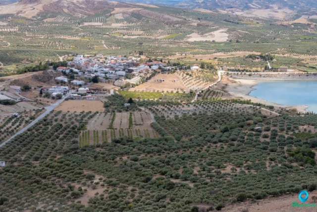
- Plakiotissa Dam: West of the village, the Plakiotissa dam creates one of the largest artificial lakes in Crete. It is located in the area of Trion Potamon-Anapodaris, between Tefeli and Sokaras.
- Parathamna Mountain: A local landmark offering panoramic views of the Heraklion regional unit.
Nearby Villages
The Tefeli community includes two other villages:
- Aposelemi: Located east of Tefeli, Aposelemi is an old settlement near the Aposelemi River. The name is possibly of Arabic origin.
- Pyrathi: Located 3.5 kilometers east of Tefeli, Pyrathi stands on the site of the ancient city of Pyranthos.
Village Key Points
- Historical References:
- 1363 documents from the Ducal Archive of Chandax.
- 1577 inventory by Barozzi.
- 1583 census by Castrophylacas with 117 inhabitants.
- 1671 Ottoman census with 32 tax-paying households.
- Location: Municipality of Archanes-Asterousia, Heraklion regional unit, Crete, Greece. 33 km south of Heraklion city.
- Altitude: 343 meters
- Historical Significance: Venetian and Ottoman-era records, population growth due to settlement of refugees from Asia Minor.
- Population:
Year |
Population |
|---|---|
1583 |
117 |
1881 |
231 |
1991 |
702 |
2001 |
550 |
2011 |
550 |
2021 |
500 |
- Current Status: Active village with an agricultural economy and some tourism.
Access
Tefeli is 11.4 kilometers away from Arkalochori and 8.3 kilometers away from Asimi






There are no comments yet.