
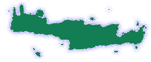
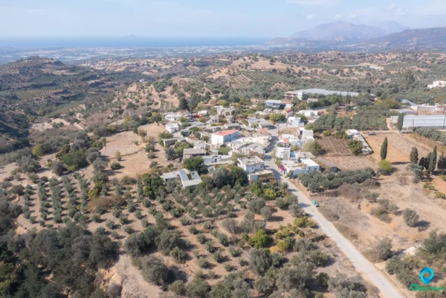
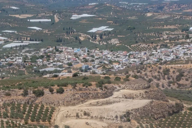
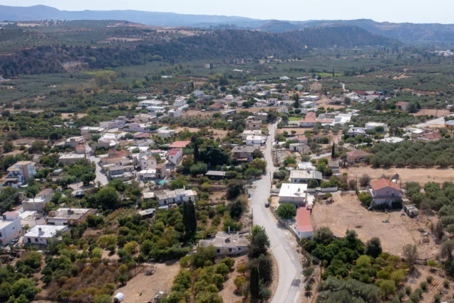
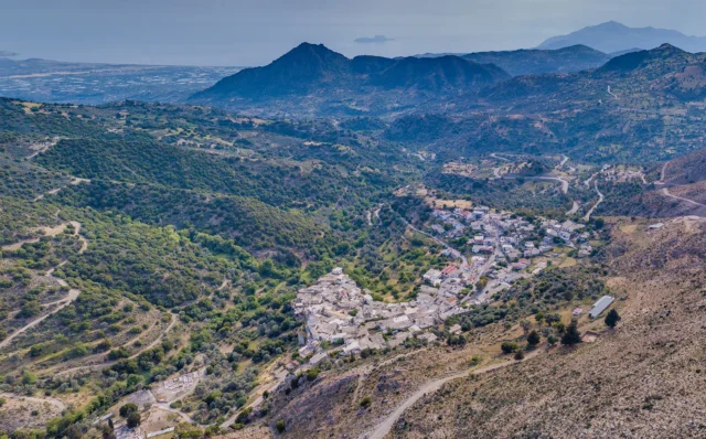
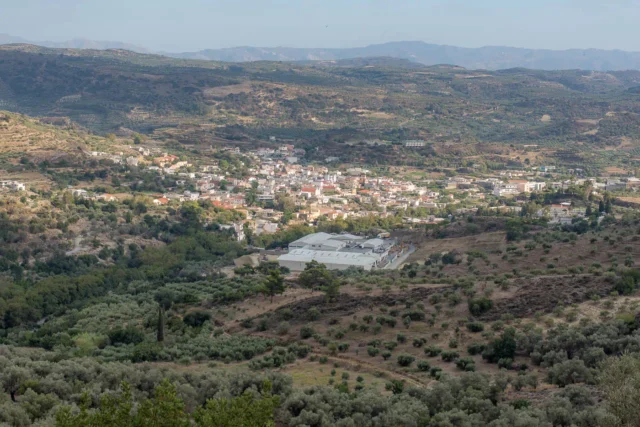
Skourvoula is a village and the seat of the homonymous community in the Municipality of Phaistos, in the Heraklion regional unit of Crete, Greece. It belonged to the province of Kainourgiou in the prefecture of Heraklion. It is built at an altitude of 350 meters, on the southern foothills of Mount Sanida, with a panoramic view of the Messara plain. It is about 60 kilometers from Heraklion. Its name, derived from the Greek word “skourvoula,” meaning “sorrel,” reflects the abundance of this wild herb that once flourished in the surrounding fields.
Historical References
Skourvoula’s roots trace back to the Venetian era, with historical records mentioning its existence as early as the 16th century. The village’s strategic location, perched on the mountain slopes overlooking the plain, likely played a role in its development, offering both natural resources and a degree of protection. Throughout its history, Skourvoula has witnessed the ebb and flow of civilizations, from the Venetian and Ottoman periods to the tumultuous events of World War II. During the Venetian period, the settlement is mentioned as Scurvula (Fr. Barozzi fo 23v) and in 1583 Scurgulla with 104 inhabitants (Castrofylakas, K 103).
The village’s most poignant historical chapter unfolded during the German occupation of Crete. In a tragic incident that has left an enduring scar on the community’s collective memory, 40 residents were executed by Nazi forces in 1944. A solemn monument, erected near the village entrance, stands as a testament to their sacrifice and a reminder of the horrors of war.
Location and Dimensions
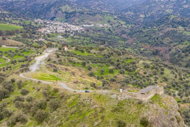
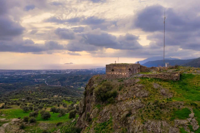
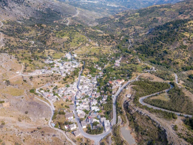
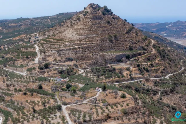
Skourvoula enjoys a picturesque location on the southern slopes of Mount Sanida, a prominent peak in the Asterousia Mountains that offers breathtaking views of the surrounding landscape. Nestled at an elevation of 350 meters above sea level, the village benefits from a mild climate, with warm summers and relatively mild winters. Its position on the mountainside provides a natural vantage point, affording panoramic vistas of the fertile Messara Plain stretching out below, as well as glimpses of the distant Libyan Sea.
The village’s strategic location has played a crucial role in its history, offering both access to natural resources and a degree of protection from invaders. The surrounding terrain, characterized by rugged mountains and fertile valleys, has shaped the village’s agricultural practices and cultural identity.
Historical Significance
Skourvoula’s historical significance extends far beyond its scenic setting. The village has witnessed centuries of human habitation, with its roots tracing back to the Venetian era. Historical records mention its existence as early as the 16th century, suggesting a long and continuous presence in the region.
The village’s location on the slopes of Mount Sanida likely played a strategic role in its development, providing a natural vantage point for monitoring the surrounding plains and potential threats. This strategic importance might have contributed to its resilience and survival throughout the centuries, despite the challenges posed by various historical periods and conflicts. During the German occupation of Crete in World War II, the village became a tragic site of resistance and retaliation. In 1944, Nazi forces executed 40 residents, leaving a deep scar on the community’s collective memory. A monument erected near the village entrance serves as a poignant reminder of this tragic event and honors the sacrifice of those who lost their lives.
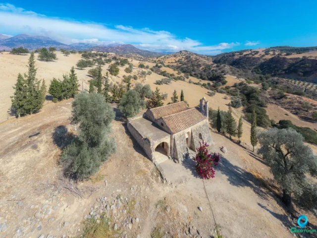
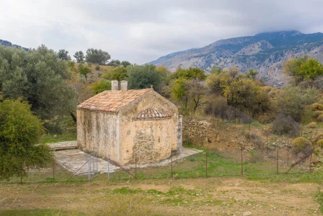
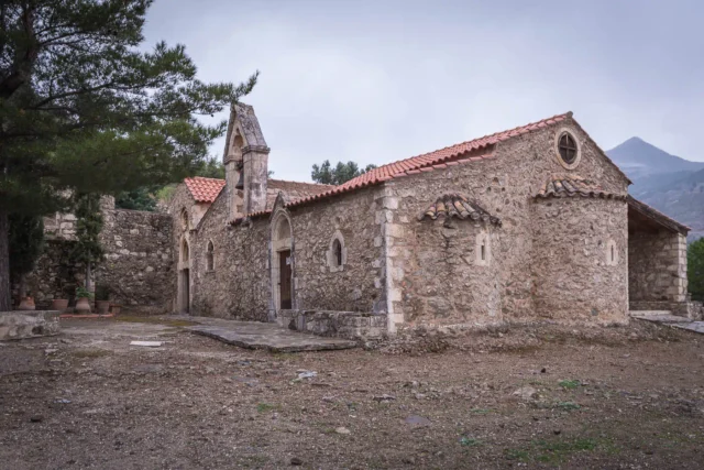
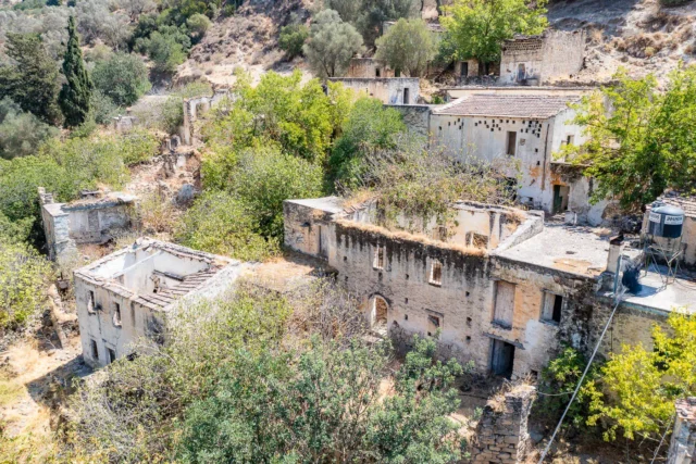
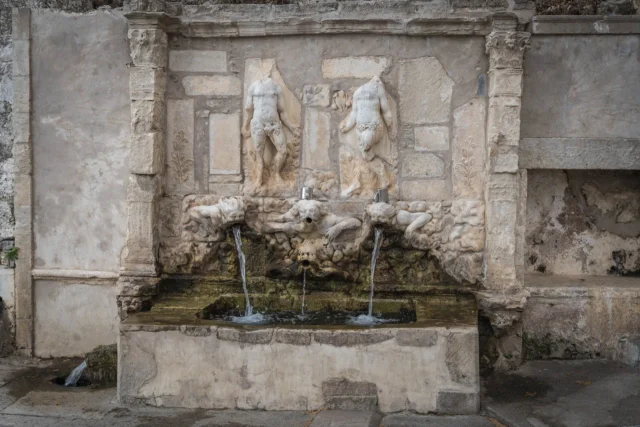
The village’s numerous churches and chapels, including the main church of Hypapanti, reflect the deep-rooted religious traditions of its inhabitants. These structures, along with the traditional stone houses and narrow streets, contribute to the village’s unique character and provide a tangible link to its past.
Population data over the years
During the Venetian era, the village had a recorded population of 104 inhabitants in 1583. It is likely that the population remained relatively stable in the following centuries, with fluctuations influenced by factors such as economic conditions, natural disasters, and political upheavals.
In more recent times, the population saw a significant increase, reaching a peak of 428 in 2001. However, the 2011 census recorded a slight decline to 423 inhabitants, reflecting a trend of rural depopulation that has affected many Cretan villages in recent decades. This decline can be attributed to factors such as urbanization, emigration in search of better economic opportunities, and a decrease in agricultural activity.
Year |
Population |
|---|---|
1583 |
104 |
2001 |
428 |
2011 |
423 |
Current Status
Today, Skourvoula is a resilient and vibrant community of approximately 423 inhabitants. The inhabitants are primarily engaged in agriculture and livestock farming, utilizing the fertile lands and favorable climate to cultivate olives, grapes, and other crops. The village is also known for its production of high-quality dairy products, a testament to the skills and dedication of its livestock farmers.
The heart of Skourvoula beats in its central square, where the main church of Hypapanti stands as a symbol of faith and community. Several other chapels, including those dedicated to Agia Anna, Agia Paraskevi, Agios Nikolaos, and Agios Nektarios, dot the surrounding landscape, offering places of worship and reflection. The village celebrates on February 2nd. Skourvoula also boasts a kindergarten and a primary school, ensuring that its young residents have access to education and opportunities for growth.
Village Key Points
- Historical References: Mentioned in Venetian documents as Scurvula and Scurgulla. Witnessed the execution of 40 residents by the Nazis during World War II.
- Location: Situated on the southern foothills of Mount Sanida, overlooking the Messara plain. Approximately 60 kilometers from Heraklion.
- Historical Significance: The village was a site of tragedy during the German Occupation, with 40 residents executed by the Nazis.
- Population data over the years: The population was 428 in 2001 and 423 in 2011.
- Current Status: A vibrant agricultural and livestock farming community with a strong sense of cultural heritage. The village features historical landmarks, educational facilities, and opportunities for tourism development.
Access
Skourvoula is 5.9 kilometers away from the town Zaros and 6.8 kilometers away from Moires


There are no comments yet.