
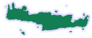
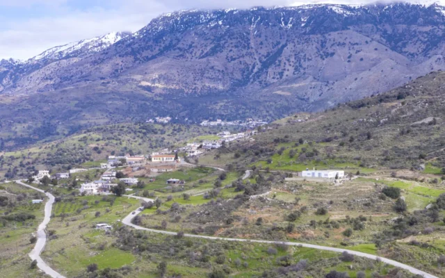
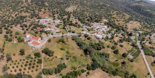
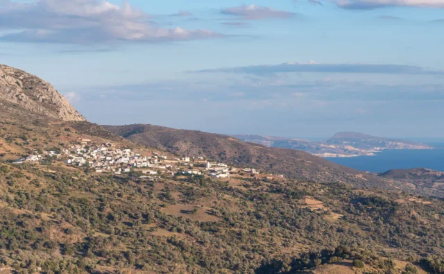
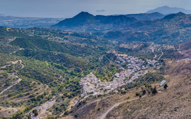
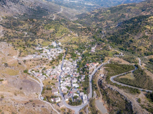
Platanos is a village and the seat of the homonymous local community in the Amari Municipality, in the Rethymno regional unit of Crete, Greece. Historically, it belongs to the villages of Ampadia. It is located at an altitude of 580 meters, on the southern slopes of Psiloritis. It is 58 kilometers from Rethymno. According to the 2011 census, Platanos has 501 inhabitants and is the second most populous village in the municipality.
Historical References
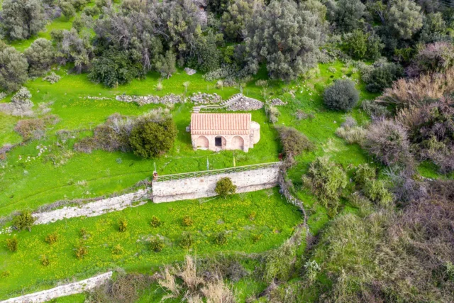
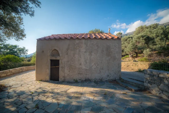
According to tradition, the name is due to a plane tree at the roots of which were found the ruins of the church of Hypapanti. In 1690, the Syrian janissary cut down the plane tree and tried unsuccessfully to build a minaret for the mosque. The minaret was collapsing and so he built it elsewhere. In that place, the three-aisled church of Hypapanti, the Annunciation and the Nativity of Christ was built in 1964. According to another version, the village took its name from a plane tree which was located near the village fountain.
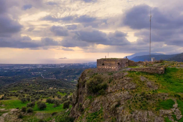
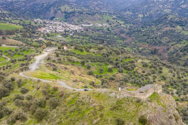
The area has been inhabited since Byzantine times and in the settlements of Kartalos and Metochia there were outposts with a permanent guard which monitored the coasts for pirate attacks. The village is mentioned by Francesco Barozzi in 1577 as Platano in the province of Amari. In the Venetian census of 1583 by Castrofylakas it is mentioned as Platano with 392 inhabitants and 1,236 owed corvées. Basilicata mentions it in 1630 as Platano. During the Ottoman occupation, part of the population was Islamized. According to the Egyptian census of 1834, 15 Christian and 20 Muslim families lived in the village. In 1881 it had 220 inhabitants (122 Christians and 98 Turks) and belonged to the municipality of Apodoulou.
Location and Dimensions
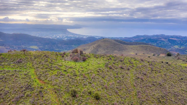
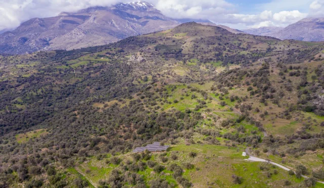
Platanos is strategically situated on the southern slopes of Mount Psiloritis (also known as Mount Ida), offering breathtaking panoramic views of the surrounding Amari Valley. The village sits at an elevation of 580 meters above sea level, providing a pleasant climate with cooler temperatures compared to the coastal regions of Crete. Its location on the mountain slopes also ensures access to natural springs and fertile lands, which have historically supported the village’s agricultural activities.
Platanos is well-connected to the surrounding areas through the Provincial Road 13, also known as the Amari Road. This vital artery links the village to Rethymno, the capital of the prefecture, as well as other significant settlements in the Amari region. The ongoing efforts to upgrade this road further enhance Platanos’ accessibility and integration into the broader regional network.
Historical Significance
The village has a long history, dating back to Byzantine times. It served as a strategic outpost during that period, with settlements like Kartalos and Metochia acting as watchtowers against pirate attacks. During the Ottoman occupation, the village experienced religious and cultural changes, with a part of the population converting to Islam. Platanos also played a role in the Cretan resistance against the Ottoman Empire and later against the German occupation during World War II.
Population data over the years
Census Year |
Population |
|---|---|
1900 |
208 |
1920 |
345 |
1928 |
376 |
1940 |
474 |
1951 |
547 |
1961 |
532 |
1971 |
530 |
1981 |
520 |
1991 |
503 |
2001 |
504 |
2011 |
501 |
Current Status
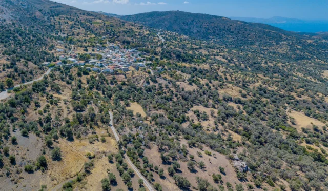
Platanos is the second most populous village in the Amari municipality with 501 inhabitants. The main occupations of the residents are agriculture and livestock farming. The village is known for its traditional architecture and natural beauty. Some of the notable landmarks include the Byzantine cave church of Agios Antonios, the impressive vertical fault of “Koratsinias,” and the old plane tree near the village fountain, which is believed to have given the village its name.
Village Key Points
- Historical References: The village’s name is derived from a plane tree. It has been inhabited since Byzantine times and served as a strategic outpost. It also played a role in the Cretan resistance against the Ottoman Empire and the German occupation.
- Location: Platanos is located on the southern slopes of Psiloritis, 58 kilometers from Rethymno.
- Historical Significance: The village has a long history dating back to Byzantine times, with evidence of its role as a strategic outpost and its involvement in various resistance movements.
- Population data over the years: The population reached its peak in 1951 with 547 inhabitants. As of 2011, the population was 501.
- Current Status: Platanos is a thriving village with a focus on agriculture and livestock farming. It is known for its traditional architecture, natural beauty, and historical landmarks.
Access
Platanos is 9.0 kilometers away from the town Tympaki and 8.2 kilometers away from Fourfouras


There are no comments yet.