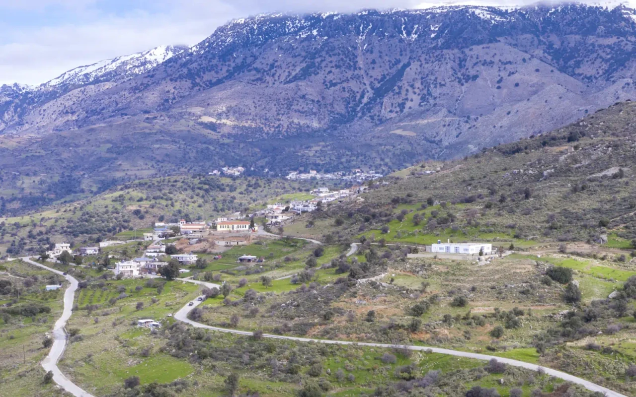
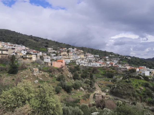
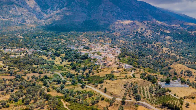
Nithavri is a village and the seat of the homonymous community in the Amari Municipality, in the Rethymno regional unit of Crete, Greece. It is located 53 kilometers from Rethymno at an altitude of 500 meters. The village’s economy is based on livestock farming, and high-quality dairy products are produced.
Historical References
The name “Nithavri” is pre-Greek, according to Stergios Spanakis. The village is mentioned by Francesco Barozzi in 1577 as Itavri. In the Venetian census of 1583 by Castrofylakas, it is referred to as Itavri or Lithavri with 237 inhabitants. In the census of 1834, which was carried out by the Egyptians, 13 Christian and 2 Turkish families were recorded living in the village. In the 1881 census, it had 252 Christian and 21 Turkish inhabitants. In the 1900 census, it had 357 inhabitants. In the 1920 census, it is mentioned as the seat of the homonymous rural municipality. In 1925, it was designated the seat of the homonymous community until the Kapodistrian administrative division, when it was annexed to the Municipality of Kourites.
Location & Dimensions
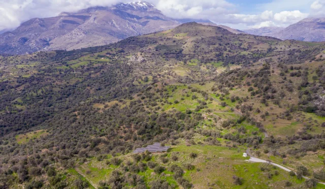
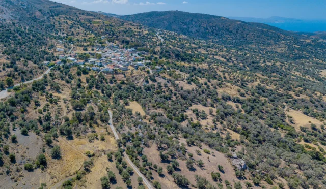
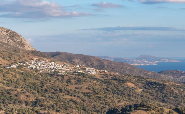
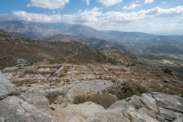
Nithavri is strategically located on the southwestern slopes of Mount Psiloritis (also known as Mount Ida), the highest mountain in Crete. This positioning provides the village with stunning panoramic views of both the majestic mountain peaks and the expansive Libyan Sea. The village itself is situated at an altitude of 500 meters above sea level, offering a pleasant climate with cooler temperatures compared to the coastal areas. The surrounding landscape is characterized by rolling hills, fertile valleys, and scattered olive groves, creating a picturesque and idyllic setting
The mountain provided natural resources and protection, while the proximity to the Amari valley facilitated agricultural activities and trade routes. Today, this unique location continues to shape the village’s character, attracting visitors who seek to experience the natural beauty and tranquility of the Cretan mountains.
Historical Significance
During the Greek War of Independence in 1821, the Sultan of the Ottoman Empire invited dignitaries from various parts of the Greek regions to Constantinople to discuss the situation. It is mentioned that he also invited a Poulakakis, descended from the large and historical Poulakakis family of Nithavri, Amari. A school was founded in the village in 1882, which was recognized as a primary school from 1889. It was housed in a house in Katochori. In 1901 the building of the school was completed, which was replaced in 1924 by a newer one. This school continued to operate until 2010, when it was merged with the four-grade school of Fourfoura. During World War II (1940-1944), the residents of Nithavri, like those of the other settlements of Abadia and Crete in general, put up strong resistance against the foreign conquerors and fought for the liberation of Crete and Greece.
Population data over the years
Census Year |
Population |
|---|---|
1900 |
357 |
1920 |
397 |
1928 |
456 |
1940 |
496 |
1951 |
527 |
1961 |
490 |
1971 |
425 |
1981 |
338 |
1991 |
310 |
2001 |
405 |
2011 |
405 |
Current Status
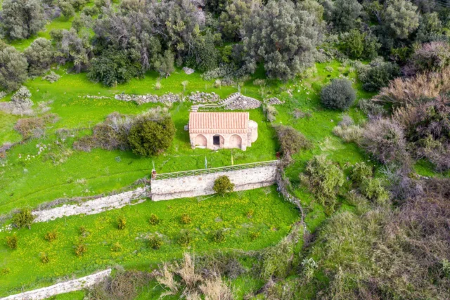
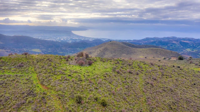
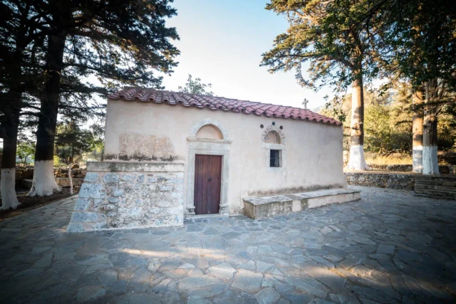
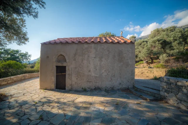
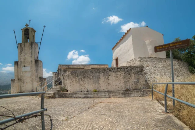
Nithavri is a large livestock farming settlement, famous for the dairy products it produces. It has been inhabited for centuries, and its first mention appears in a Venetian document from 1577 AD. The central church of the village is the Church of Agios Nektarios, which celebrates on November 8. Inside the settlement there are also two other modern churches dedicated to Christ the Savior and the Archangel Michael. There is also the small church of Panagia Asfentamiani in a wonderful location with greenery and amazing views, about 2 km northeast of the village and at a higher altitude.
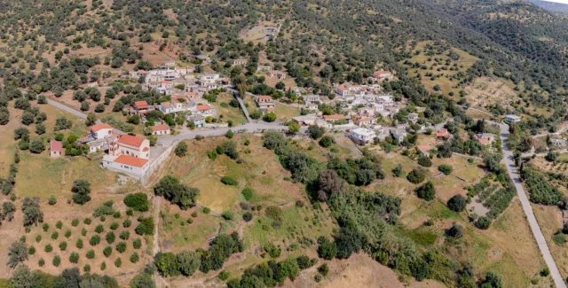
Nithavri is a lively village, where visitors can find small shops, cafes and tavernas serving local delicacies. In the heart of the settlement is the main square, which is adorned with a tasteful stone fountain with running water, built at the foot of a rock in the early 20th century.
Finally, Nithavri is also known for the ancient cave of Onymarchos, located north-east of the village at an altitude of 700m, in the Kalikas location. On its rocky entrance it bears the engraved name ONYMA(R)XOC and inside you can see stalactites and stalagmites. Archaeological findings confirm that the long use of the cave begins in the prehistoric period and reaches the era of Turkish rule, as it was a hiding place for brave Cretan chieftains.
The village celebrates every year on August 6, the feast day of the Transfiguration of the Savior, the day when the traditional festival of the settlement usually takes place.
Village Key Points
- Historical References: The village’s name is pre-Greek in origin. It was first mentioned in 1577 as Itavri. The village has a long history dating back to the Venetian era, with evidence of habitation since antiquity.
- Location: Nithavri is situated on the southwestern slopes of Psiloritis, overlooking the Libyan Sea and the Amari valley.
- Historical Significance: Nithavri played a role in the Greek War of Independence in 1821. It also served as a center of resistance during World War II. The village boasts historical sites, including the Church of Panagia Asfentamiani and the ancient cave of Onymarchos.
- Population data over the years: The population has fluctuated, reaching a peak of 527 in 1951. As of the 2011 census, the population was 405.
- Current Status: Nithavri is a vibrant village with a focus on livestock farming, known for its dairy products. It offers visitors a taste of traditional Cretan life with its local shops, cafes, and tavernas. The village also attracts those interested in exploring its historical and natural sites, such as the ancient cave and the scenic church of Panagia Asfentamiani.
Access
Nithavri is 11.5 kilometers away from the town Tympaki and 5.0 kilometers away from Fourfouras











There are no comments yet.