


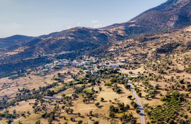
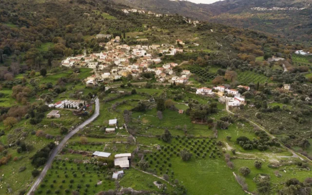
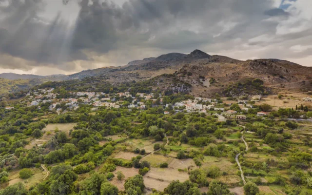
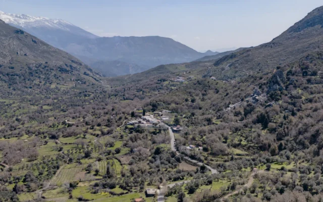
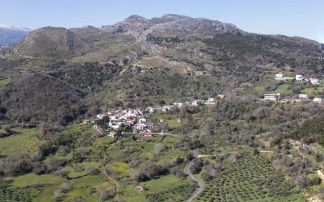
Amari is a village and the seat of the homonymous local community in the Amari Municipality, in the Rethymno regional unit of Crete, Greece. Situated at an elevation of 460 meters, it offers a tranquil retreat with breathtaking views of the surrounding mountains. The village’s name, echoing through the ages, has its roots in ancient times, with various theories suggesting origins ranging from a Byzantine or Venetian ruler to the Latin word for “love” or even an archaic Greek term. Amari’s strategic location has played a pivotal role in its historical journey, serving as a capital during the Ottoman era and a center of resistance during the German occupation.
Historical References
The first reference to Amari is found in an inscription on the local church of Agia Anna, dated 1225. It is also mentioned in a Venetian document from 1368. According to a Venetian census of 1583, Amari had a population of 131 inhabitants. During the early years of Ottoman rule, the settlement was converted into a vakif and renamed Nevs Amari. During the revolution of 1821, the wider Amari region became a battleground between Greek rebels and Abadiote Muslims. In an Egyptian census of 1834, 20 Christian families and one Muslim family lived in Amari. A few years later, in 1844, a school opened in Amari for the first time, which was chronologically the tenth in the Rethymno prefecture. In 1881, the first organized Ottoman census conducted in Crete found 292 inhabitants in the settlement, of whom 284 were Greeks and the rest were Turkish Cretans. During the last decades of Ottoman rule, Nevs Amari was the capital of the homonymous municipality and province. In 1894, according to the estimate of the Greek army officer Nikostras Kalomenopoulos, it was inhabited by 75 Greek families. In 1900, a census of the Cretan State reported that 377 Greeks and eight Turkish Cretans lived in the village.
During the German occupation of Crete, it was an important center of resistance and the center of operations for the senior British officer Thomas Dunbabin, liaison with the Cretan resistance. After a successful operation in Damasta in August 1944, between August 22 and 30, the Germans entered the Amari valley with a large force and destroyed nine villages, executing sixty-four residents. Valuables were removed from the houses and the animals that were found were confiscated. In 1955, the “Nefs” was removed from the name of the settlement.
Location
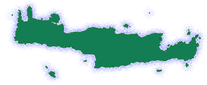
Amari is situated in a sheltered location at the foothills of Mount Samitos (northeastern slopes of Mount Kedros or Kendros) at an altitude of 460 meters. It is located 40 kilometers from the city of Rethymno, the capital of the prefecture. Opsigias, the other settlement of the municipal community of Sivritos, is located one kilometer away. The entire province took its name from the village during the Venetian era.
Name Origin
There are various versions regarding the origin of the name Amari: one of them states that the name is due to a Byzantine or Venetian ruler named Amari. According to another version, Amari comes from the Latin word amare which means “to love.” Other versions suggest that the name has an ancient Greek origin.
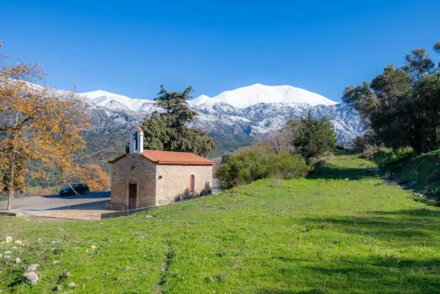
Points of Interest
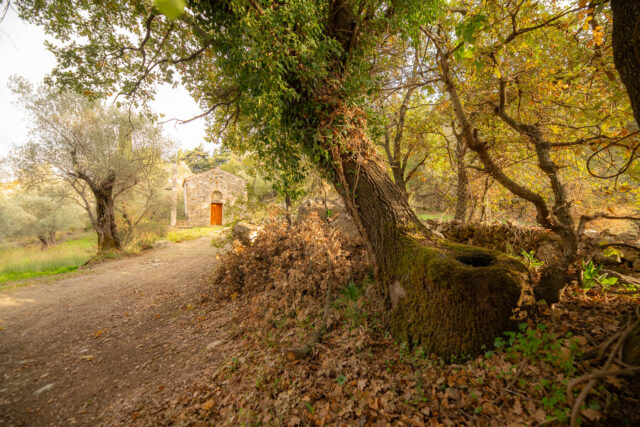
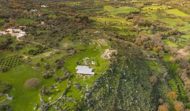
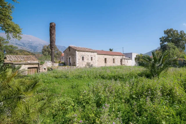
- The Holy Monastery of Asomaton: Byzantine era, located in the Vistagi Community near Amari.
- Stone bell tower: Venetian era, located in the village center, on the site of a former Venetian castle.
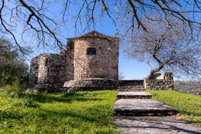
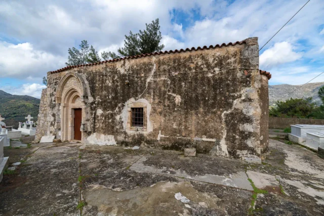
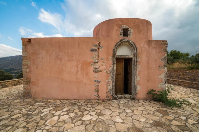
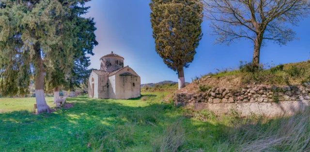
- Church of Agia Anna: Byzantine era, dated around 1196, located in Amari.
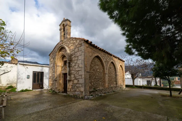
- Church of Agios Theodoros: Byzantine era, with 16th-century frescoes, located in Amari.
- Church of Agioi Anargyroi: Byzantine era, 15th century, located in Amari.
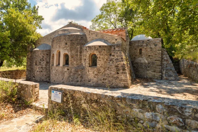
- The three-aisled church of Kera Panagia: Byzantine era, located just outside the village.
Population data over the years
Census Year |
Population |
|---|---|
1881 |
292 |
1900 |
385 |
1913 |
486 |
1928 |
286 |
1940 |
306 |
1951 |
220 |
1961 |
193 |
1971 |
148 |
1981 |
142 |
1991 |
206 |
2001 |
222 |
2011 |
111 |
Historical Significance
Amari’s historical significance extends far beyond its picturesque setting. Its central location in the Amari valley has made it a crossroads of civilizations and a witness to pivotal moments in Cretan history. From its early roots as a Minoan settlement to its role as a capital during the Ottoman era, the village has played a vital part in shaping the island’s cultural and political landscape. Amari’s unwavering spirit of resistance, exemplified by its active participation in the Cretan War of Independence and the fight against German occupation, further solidifies its place in the annals of Cretan history. The village also boasts a rich religious heritage, evident in its numerous Byzantine churches and the nearby Asomaton Monastery. Amari’s legacy as a center of learning and culture is further underscored by the notable figures who were born or have roots in the village, including scholars, artists, and freedom fighters. Their contributions have enriched not only the local community but also the broader Cretan society.
Current Status
Today, Amari maintains its strong connection to its agricultural roots. The village’s inhabitants are primarily involved in farming and livestock rearing, cultivating vineyards, olive groves, cereals, and fodder. Despite its historical significance and scenic beauty, Amari remains relatively untouched by mass tourism, preserving its authentic Cretan charm. The village continues to celebrate its cultural heritage through traditional festivals and events, fostering a strong sense of community and identity.
Village Key Points
- Historical References: First mentioned in 1225, renamed Nevs Amari during Ottoman rule, center of resistance during German occupation.
- Location: Situated in a sheltered location at the foothills of Mount Samitos, 40 kilometers from Rethymno.
- Historical Significance: Capital of Amari province during Ottoman rule, important center of resistance during German occupation, birthplace of several notable figures.
- Population data over the years: Population has fluctuated, with a peak of 486 in 1913 and a current population of 111.
- Current Status: Primarily agricultural and livestock activities, retains historical churches and monuments.


There are no comments yet.