Siderospilia Necropolis: A Dark Age Burial Ground in Crete
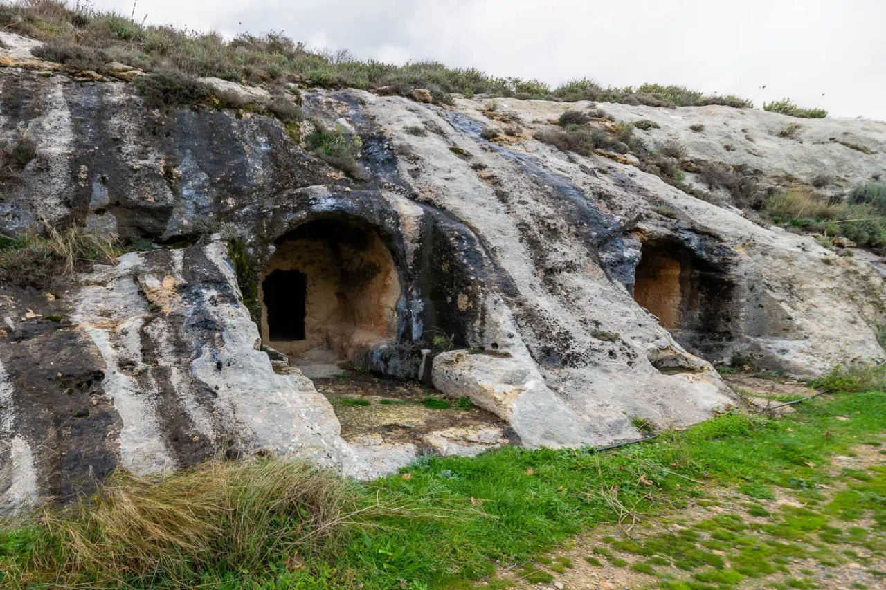
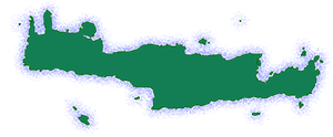
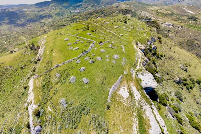
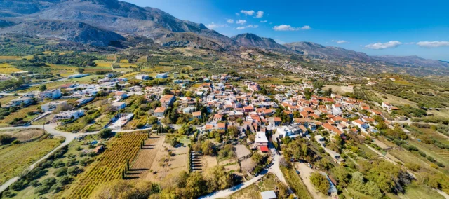
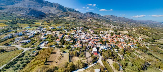
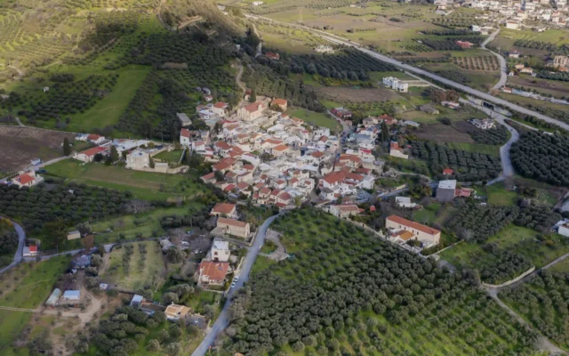
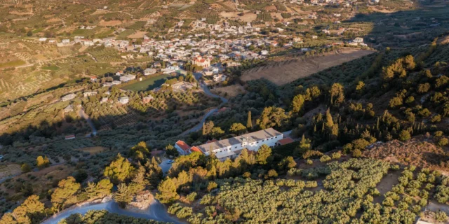
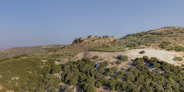
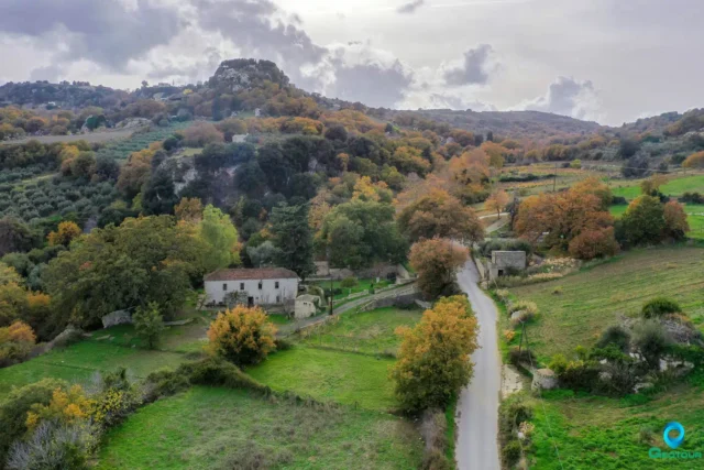
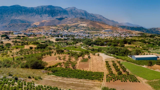
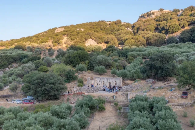
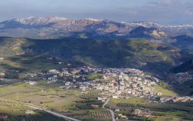
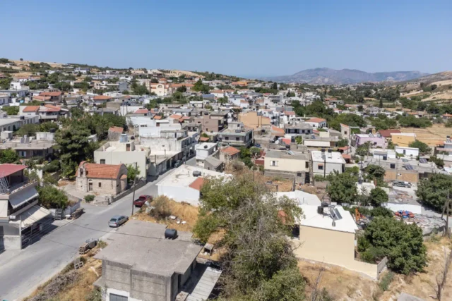
The Siderospilia Necropolis, located near the modern village of Prinias in central Crete, is an expansive burial site dating from the Late Minoan IIIC to the Early Geometric periods (13th-8th centuries BC). Situated on a southeast-facing slope, the necropolis overlooks a valley that separates it from the Patela plateau, the site of the ancient settlement of Rizinia. This strategic location suggests a direct association between the necropolis and the settlement, with the burials likely belonging to the inhabitants of Rizinia.
Phases of the Necropolis
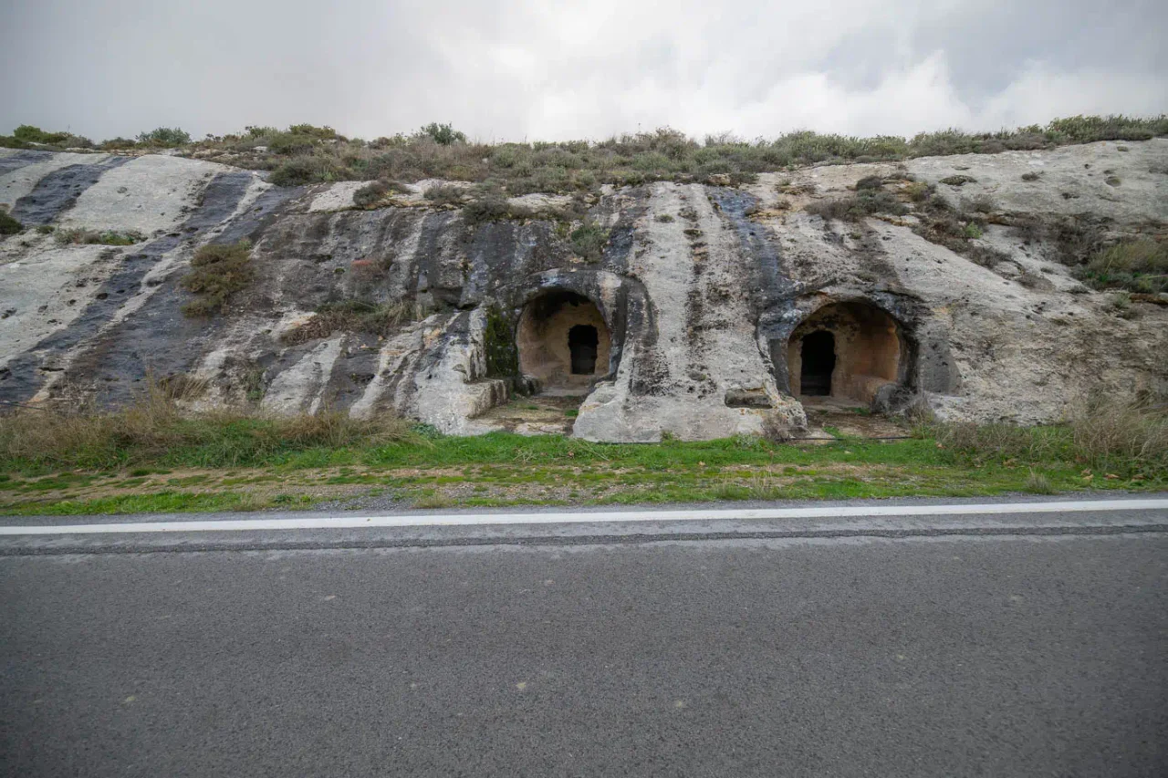
The necropolis is divided into eastern and western sections by the modern Prinias-Asites road. Excavations have revealed three main phases of use, each with distinct burial practices and tomb types:
- Phase 1 (LM IIIC-SM): Simple cremations placed in oval, rock-cut pits covered with stone slabs.
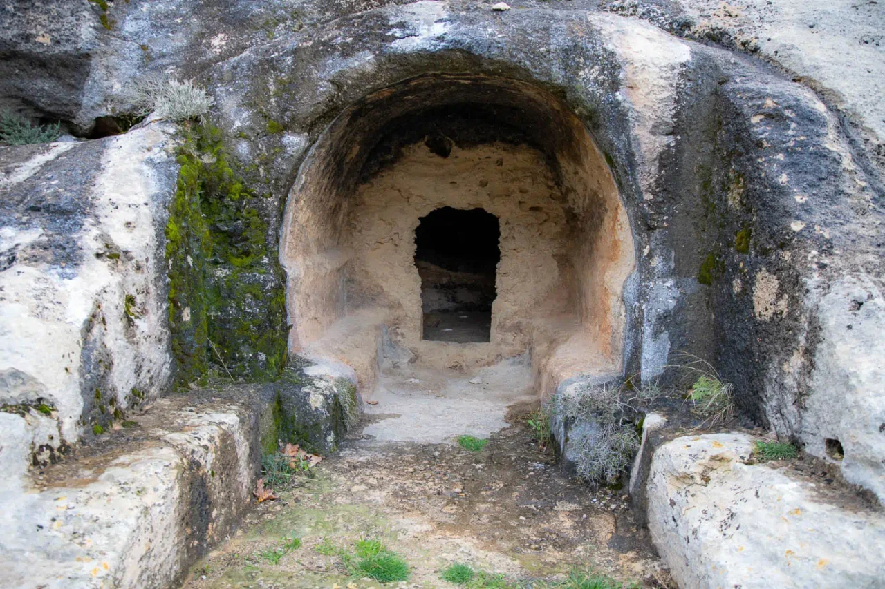
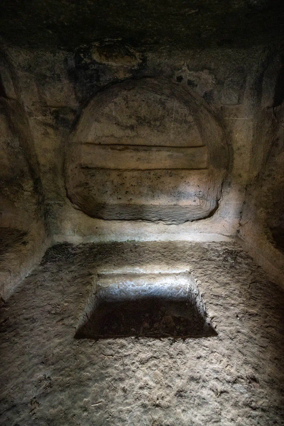
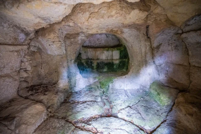
- Phase 2 (SM to PGB): Chamber tombs (pseudo-tholoi) with inhumations.
- Phase 3 (PGB-O): Urned cremations supported by stones and placed under rubble.
A fourth phase, dating to the Roman era, is evident in the western part of the cemetery.
Tomb Types and Burial Practices
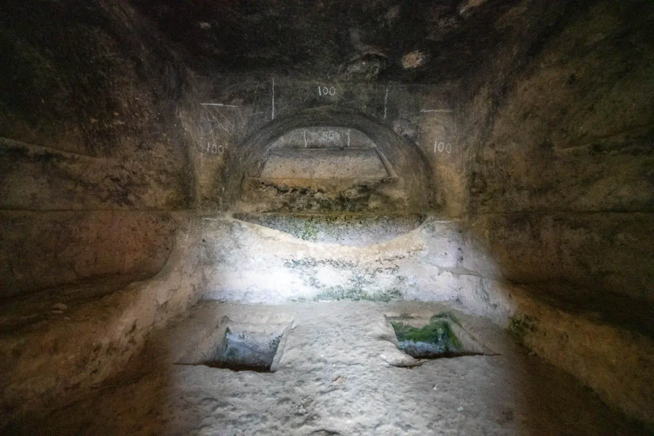
The necropolis features a variety of tomb types, reflecting the evolving cultural landscape of the Early Iron Age. The earliest burials are simple cremations in pit graves, while later phases see the introduction of chamber tombs with inhumations and a return to cremation burials in urns. Some tombs are more elaborate, with multiple chambers and antechambers, suggesting social differentiation and the emergence of local elites.
Grave Goods and Social Significance
The grave goods found within the tombs offer valuable insights into the daily life, trade networks, and cultural influences of the Early Iron Age Cretans. The presence of gold jewelry, bronze objects, and imported vessels from mainland Greece and the Aegean islands highlights the island’s participation in regional trade and exchange networks. The discovery of faience beads and amulets of Egyptian origin suggests connections with the wider Mediterranean world.
Spatial Organization and Architectural Analysis
The spatial organization of the necropolis is being studied using digital technologies, such as 3D modeling and GIS mapping. Preliminary results indicate a conscious effort in the layout of the tombs, with a monumental nucleus in the older part of the cemetery. The analysis of the chamber tombs (pseudo-tholoi) reveals variations in size and complexity, suggesting a hierarchical organization of the necropolis.
Archaeological Site: Key Points
- Construction Period: Late Minoan IIIC to Early Geometric periods (13th-8th centuries BC)
- Location: Near Prinias, central Crete, Greece
- Dimensions: The necropolis is divided into eastern and western sections by the modern Prinias-Asites road.
- Historical Significance: Provides insights into the Early Iron Age in Crete, burial customs, social structures, and trade networks.
- Current Status: Active archaeological site with ongoing research and excavations.
References
- Katia Perna, La necropoli di Siderospilia a Priniàs nell’ambito delle relazioni tra Creta e l’Egeo, Eleutherna, Proceedings of the International Archaelogical Conference n Symposium, Crete and the Outside World, 2020
- Salvatore Rizza, SPATIAL AND ARCHITECTURAL ANALYSIS OF THE SIDEROSPILIA NECROPOLIS (PRINIÀS). FIRST RESULTS, 4TH MEETING FOR THE ARCHAEOLOGICAL WORK IN CRETE Rethymno – November 24/27, 2016
- Giacomo Biondi, A New Attic Late Protogeometric Krater from the Siderospilia Necropolis of Prinias (Crete)
- Rossella Gigli, Andrea Patanè, The jewels of the necropolis of Siderospilia










There are no comments yet.