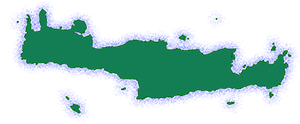
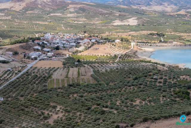
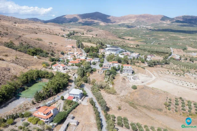
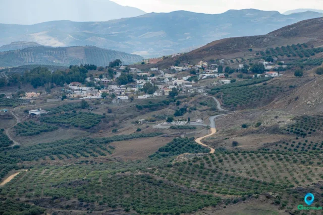
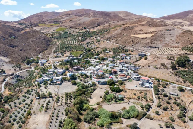
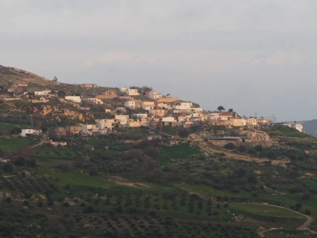
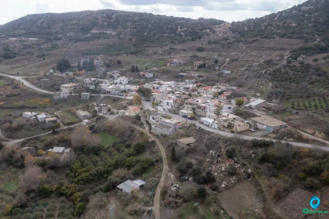
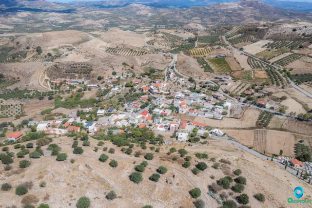
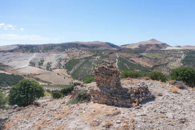
Metaxochori is a village in the Municipality of Archanes-Asterousia, Heraklion regional unit, Crete, Greece. It is located at an altitude of 450 meters (at the square of Agios Nikolaos), approximately 34 kilometers from Heraklion city. The village offers views of the Lasithi mountains (Dikti) and Mount Psiloritis.
The main occupations of the residents are viticulture and olive cultivation. Some residents are also involved in livestock farming.
History
The village is mentioned in the 1583 census of Castrophylacas under the name “Caco Chorio” (meaning “Bad Village”) with 103 inhabitants. The name was later changed to Metaxochori (“Village of Silkworms”) due to the abundance of mulberry trees in the area, which were used to raise silkworms. During the Ottoman period, Metaxochori was inhabited solely by Turks, as was the nearby village of Armanogia. In 1834, there were only 10 Turkish families in Metaxochori, and in 1881, there were 114 Turkish residents. Many of the current inhabitants are descended from people who came from Anogia in Mylopotamos.
Armanogia is mentioned in the 1583 census with the names “Armanoia” and “Arimanogia” and had 66 inhabitants.
Landmarks
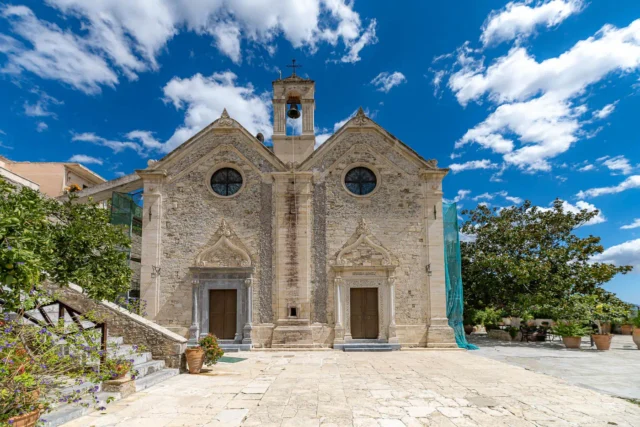
- Church of the Dormition of the Theotokos: The main church of the village.
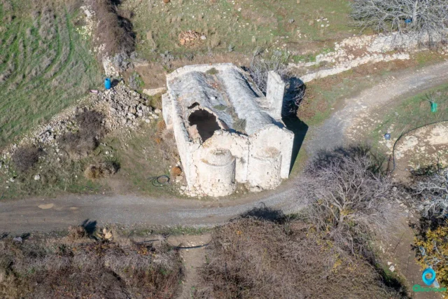
- Church of Agios Onisimos: A small church located east of the village at an altitude of 1500 meters. It is the only church in Greece dedicated to Saint Onisimos.
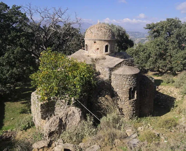
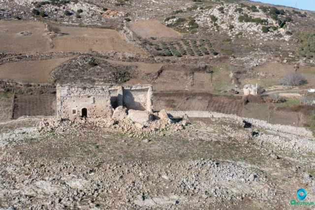
- Other Churches: Agios Nikolaos (built on the ruins of a Byzantine church) and Agios Raphael.
- Monastery of Epanosifis: Located 2 kilometers north of Metaxochori.
- Armanogia Dam: A dam located near the village of Armanogia, which has created a significant wetland habitat.
Amenities and Infrastructure
Metaxochori has a health center, a kindergarten, and a primary school. Until November 10, 2020, the village also had a meteorological station belonging to the National Observatory of Athens, which was destroyed by gunfire.
Village Key Points
- Historical References:
- 1583 census of Castrophylacas as “Caco Chorio” with 103 inhabitants.
- Location: Municipality of Archanes-Asterousia, Heraklion regional unit, Crete, Greece. 34 km from Heraklion city.
- Altitude: 450 meters
- Historical Significance: Ottoman-era village, name change due to mulberry trees and silkworm cultivation.
- Population:
Year |
Population |
|---|---|
1583 |
103 |
2011 |
403 |
2021 |
394 |
- Current Status: Active village with a primarily agricultural economy (olive oil and wine production).
Access
Metaxochori is 11.5 kilometers away from Arkalochori and 4.6 kilometers away from Tefeli











There are no comments yet.