
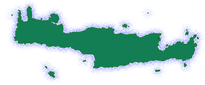
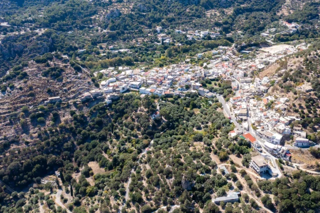
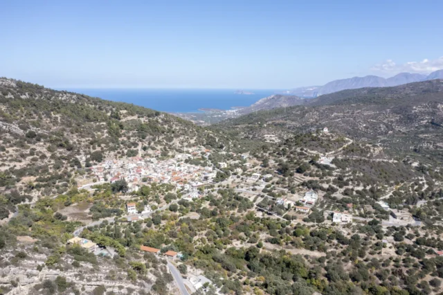
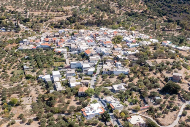
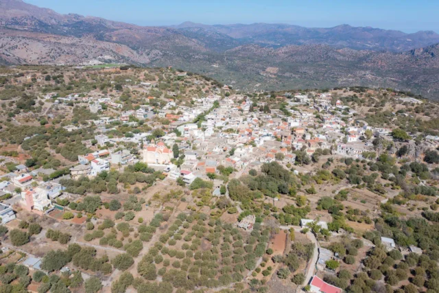
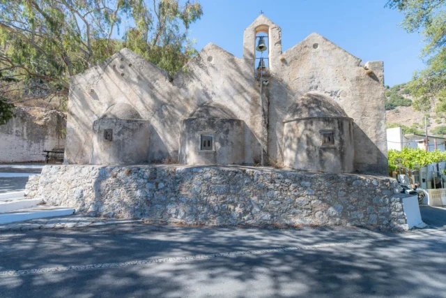
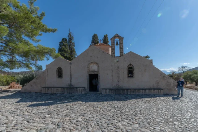
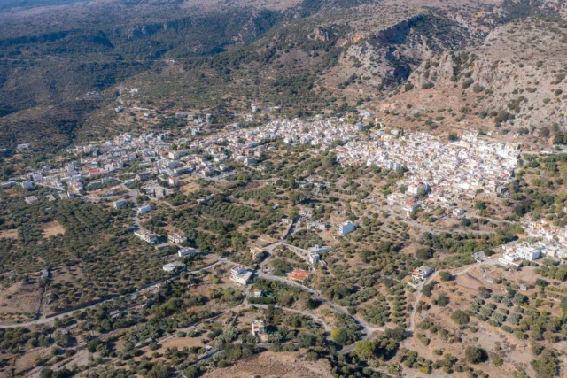
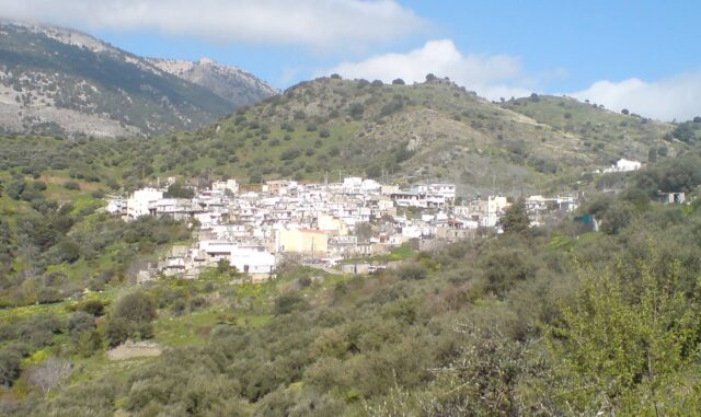
Location and Geography
The Mesokastellas Fortress is located on a plateau in the Dikti Mountains, between the villages of Kalamafka and Anatoli in eastern Crete, Greece. The fortress is situated at an altitude of approximately 600 meters, making it a strategic vantage point with panoramic views of the surrounding landscape. The plateau is naturally protected by steep, rocky slopes on all sides, rendering it virtually invisible from the nearby coastal passages and roads.
Etymology
The name “Mesokastellas” is derived from the Greek words “meso,” meaning “middle,” and “kastellas,” meaning “castle” or “fortress.” This name is apt because the site is located between two prominent peaks, each of which houses a fortified structure. The fortress is also referred to by the local residents as “Mesa Kastello,” which translates to “Inner Castle.”
Historical Context
The Mesokastellas Fortress has a rich history, with evidence of occupation dating back to the prehistoric period. Archaeological surveys have revealed traces of human activity from the Late Minoan III C period, the Protogeometric period, the Geometric period, the Byzantine era, and the Venetian era. This continuous occupation underscores the strategic significance of the site throughout different historical periods.
Description of the Fortress
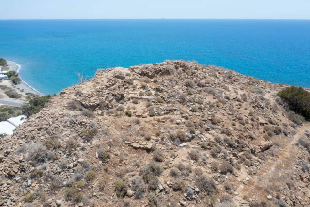
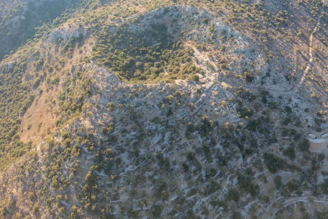
The fortress consists of two primary fortified positions, designated as Position A and Position B. Position A is located on the higher of the two peaks, at an altitude of 729 meters. It is characterized by a relatively small, flat area at the summit, covering approximately 1.5 hectares. The only accessible side of this peak is from the northeast, which is protected by a fortified wall with a thickness of 1.60 meters. The entrance to the fortified area is marked by a paved path, which is still visible today. The wall is constructed using rubble masonry reinforced with strong mortar and a poured core. Inside the fortified area, there are no other visible structures, and the absence of a cistern suggests that the site was not intended for long-term occupation. It is likely that this position served as a watchtower or beacon, given its strategic location and panoramic views.
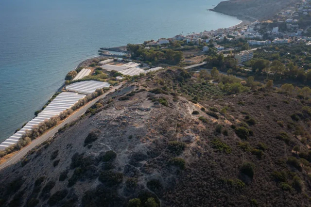
Position B is situated on the easternmost peak of the plateau, at an altitude of 658 meters. It is the largest of the four peaks that encircle the plateau. The northwestern edge of this peak is crowned by a fortified enclosure, which is partially preserved and exhibits distinctive architectural features. The entrance to this fortified area was from the north side, and the remains of a paved path are still visible today. The fortified enclosure is particularly well-preserved on the east side, where it features curved bastions that replace towers. The wall is constructed using rubble masonry with abundant mortar made of lime and pozzolana, similar to the construction technique used in Position A. An interesting feature of this wall is the incorporation of tiles between the rubble stones, a characteristic of Byzantine architecture.
Inside the fortified area of Position B, there are remains of buildings, but the cisterns mentioned in historical accounts are no longer visible. The nature of the buildings and the abundance of ceramic finds suggest that this position may have served as a settlement during the Protobyzantine and late Venetian periods. However, further research is needed to confirm this hypothesis.
Relationship with Other Fortresses
The Mesokastellas Fortress is strategically linked to other fortresses in the region, forming a network of fortified sites that controlled the eastern part of Crete. To the west, it has visual contact with the fortress of Gra, and to the north, it overlooks the narrowest point of Crete, the isthmus between Pachia Ammos and Ierapetra. This strategic positioning allowed the fortress to monitor the movements of both land and sea forces, making it a crucial element in the defense system of the region.
Current Status
Today, the Mesokastellas Fortress is in ruins, with only a few traces of its former structures remaining. The site is overgrown with vegetation, making it difficult to access and explore. However, the fortress remains an important historical landmark, offering valuable insights into the military architecture and strategic planning of the Byzantine era.
Fortifications: Key Points
- Construction Period: Byzantine era (10th-12th centuries AD)
- Location: Dikti Mountains, between Kalamafka and Anatoli, eastern Crete, Greece
- Historical Significance: Part of a network of Byzantine fortresses that controlled eastern Crete, strategically positioned to monitor land and sea movements, evidence of continuous occupation from prehistoric to Venetian times
- Current Status: In ruins, difficult to access due to vegetation overgrowth
References
- Panos Char. Maniatis, Fortifications and Castles of Crete from Antiquity to the Turkish Occupation.
- Nikos M. Gigourtakis, 2004, Byzantine fortifications in Crete, Second Byzantine period.
Access
Difficult to access due to vegetation overgrowth


There are no comments yet.