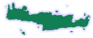
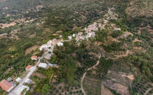
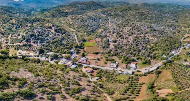
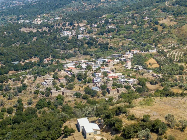
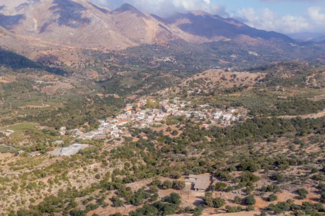
Makrygianni is a semi-mountainous settlement within the Doxaro Community, part of the Mylopotamos Municipality in the Rethymno regional unit of Crete, Greece.
Location
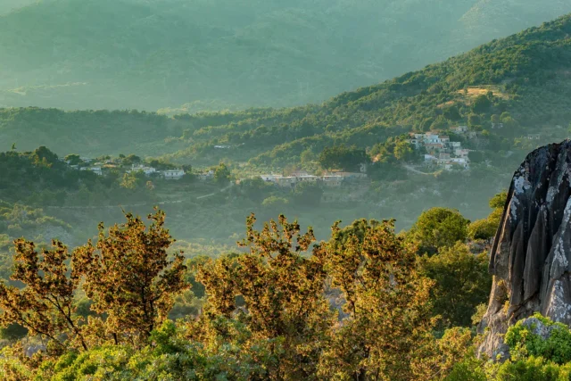
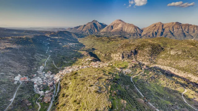
The settlement is situated 45 kilometers east of Rethymno (via Panormo) and 18 kilometers north-northeast of Perama (the municipal seat). Makrygianni lies within the fertile Mylopotamos valley, nestled at the southern foothills of the Talaia Ori (Kouloukonas) mountain range, at an elevation of 275 meters. Τhe settlement is located near the “Arapis Cave,” associated with a local legend about an Arab who supposedly killed passersby.
Historical References
Makrygianni was first officially recognized as a distinct settlement in 1981, when it was included in the census records of the then Doxaro community.
Population
According to the 2011 census, Makrygiannis has a population of 30 inhabitants.
Current Status
Makrygianni is divided into two parts: Pano (Upper) Makrygianni and Kato (Lower) Makrygianni. It is a relatively new settlement. The first inhabitant, a man named Sapountzis, was known for his leftist political views, leading some older residents to refer to the settlement as “Moskva.”
The settlement’s name is attributed to a local legend. During a plague outbreak in the nearby village of Lochria, all residents except for a very tall man named Giannis perished. He subsequently settled in the area, and the settlement took on the name “Makrygiannis” (meaning “tall John”) in his honor.
Village Key Points
- Location: Mylopotamos Municipality, Rethymno regional unit, Crete, Greece
- Altitude: 275 meters
- Historical Significance: Officially recognized as a settlement in 1981
- Current Status: Inhabited settlement within the Doxaro Community
Access
Makrygianni is 7.0 kilometers away from the town Anogeia and 4.6 kilometers away from Axos.








There are no comments yet.