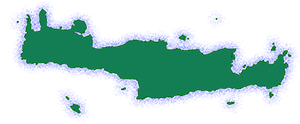
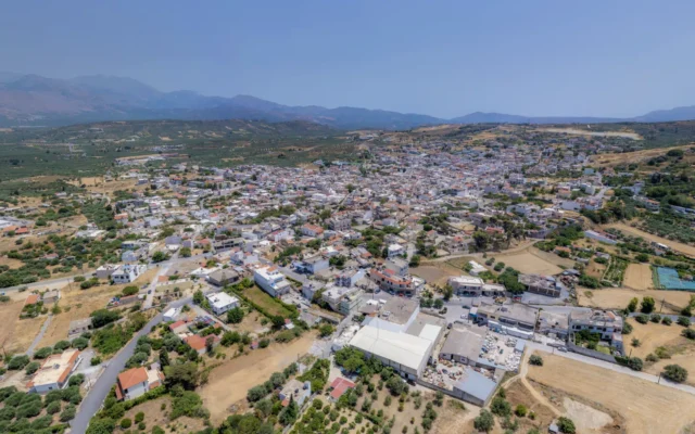
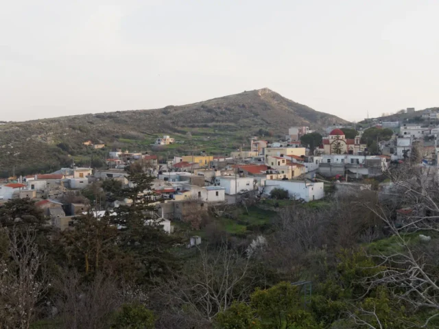
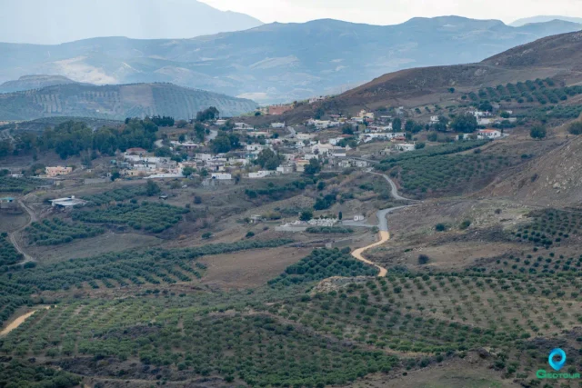
Lefkochori (Λευκοχώρι), formerly known as Voutoufou (Βουτουφού) until 1955, is a semi-mountainous village in the Heraklion Regional Unit on the island of Crete, Greece. It serves as the seat of the Lefkochori community within the Minoa Pediada municipality. The village is part of the Monofatsi province.
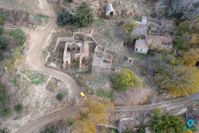
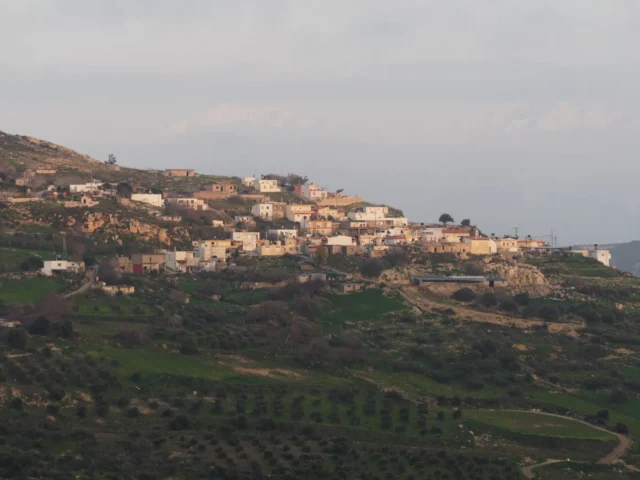
The old village was built on a rocky, steep hill with a panoramic view of the Messara plain. Today, the village is located to the north of the original settlement, at the 39.5 kilometer mark of the paved road towards the village of Skinia.
Etymology
The name “Lefkochori” translates to “white village,” and it was adopted in 1955 due to the abundance of poplar trees (λεύκες) in the area.
Prior to this, the village was known as “Voutoufou.” One theory suggests the name has Arabic origins. Another theory, proposed by Byzantinologist Periandros Epitropakis, posits that the word is of Frankish origin, meaning “the peak of fire.” This suggests the location may have been used as a beacon, transmitting messages from the peak of the old settlement due to its commanding position in the area. This theory is supported by the presence of a location called “Pyrgopoulo” (meaning “small tower”) in the northeastern part of the old settlement.
History
The village is mentioned as “Vutufu” in the province of Belvedere (present-day Monofatsi) in all Venetian censuses. The Turkish census of 1671 records that it had only Cretan inhabitants. Venetian and Turkish censuses also list the other villages of the current municipal district.
In the Kastrofylakas census of 1583, the settlements of Pulea Apano (56 inhabitants), Pulea Catto (25 inhabitants), and Candru or Chandru with 40 inhabitants are mentioned. Similarly, in the Turkish census of 1671, these villages are listed as Pulye Apano with 8 houses, Pulye Kato with 5 houses, and Handra with 5 houses. The only village not mentioned in any census is Kalo Chorio.
Churches
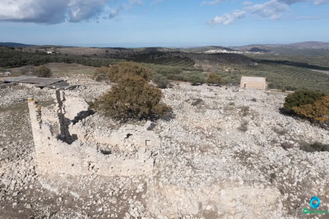
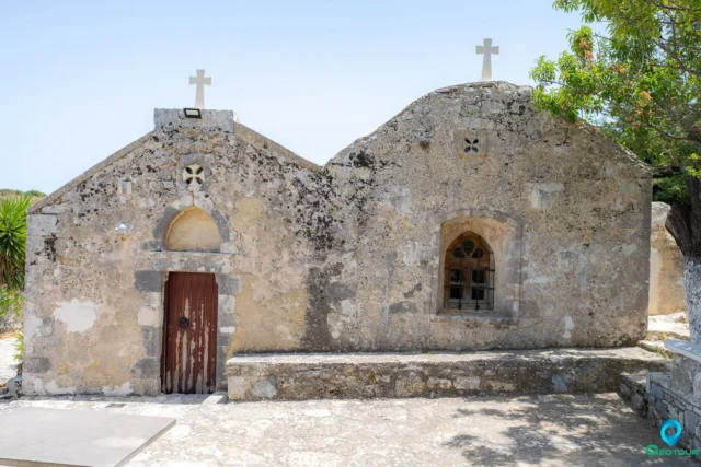
Lefkochori has several churches of historical significance:
- Church of Agios Georgios and Agios Ioannis: These are Byzantine churches built during the Ottoman period.
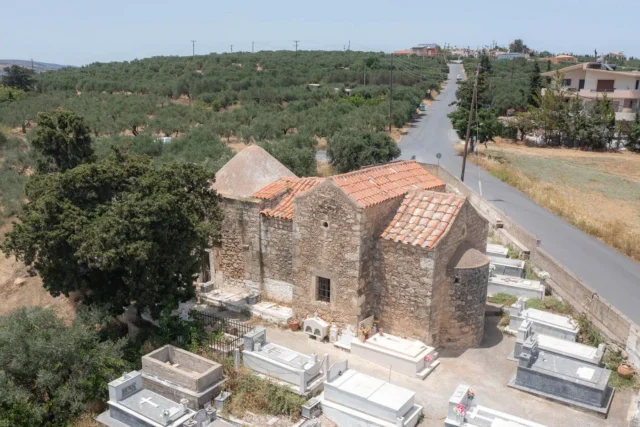
- Church of Panagia: Also Byzantine, built between 1888 and 1900. It is now the village cemetery.
- Church of the Entrance of the Theotokos: Built in 1914.
- Church of the Metamorphosis of the Savior: Features 13th-century Byzantine frescoes.
- Church of Archangel Michael: Has a large round stone with a hole in the middle in its courtyard, possibly an old Byzantine table support. The new church is built on the site of the old one and was inaugurated in 1954.
Toponyms
The area around Lefkochori has several interesting toponyms, each with its own story:
- Sarakina: The name comes from the Saracens, when Saracen pirates occupied the island (828-960 AD). It was the passage from the South to the North and vice versa, of the treasures they stole.
- Belvedere: Italian for “beautiful view,” named after the magnificent view of the area.
- Foresi: Named for its fertile land.
- Monastiria: Suggests the presence of monasteries in the area.
- Tseroni: There were houses in the village where people went who were obviously affected by some serious illness, they had pimples (tseronia). Tseroni is an area between Kato Poulies and Lefkochori.
- Tis Kalogrias to Spili: There was an old cave where a nun lived.
- Lisofroudia: There were fruits (forts).
- Sterna tou Kyrikli or Metochi or Kokkolianos: The toponym was given either because there was a Kyriklis who had a cistern, or Metochi because the animals grazed there.
- Kaminia: There were kilns in the area.
- Ismail: From the name of the Turkish governor of the village.
- Kantinio: A very beautiful Turkish woman lived in the village. In the Cretan dialect, cantina is the hanumissa (Turkish lady).
- Patinio: The presses were there.
- Tzirahli: The Turkish commander of the village was Tzir-Alis.
- Stafylianos: Because the vines were so big, they climbed the poplars.
- Paliomitata: There were sheepfolds there.
- Kouloura: The village looks like a kouloura (a type of Greek bread).
- Xerokokkali: Meaning dry place, barren.
- Xaroupidi: There were and are carob trees.
Settlement: Key Points
- Historical references: Venetian and Turkish censuses, Kastrofylakas census
- Location: Heraklion Regional Unit, Crete, Greece.
- Historical significance: Possibly used as a beacon during Frankish rule.
- Population data:
Year |
Population |
Notes |
|---|---|---|
1583 |
32 |
Vutufu |
1881 |
103 |
As Voutoufou |
1900 |
87 |
as Voutoufou |
1928 |
182 |
as Voutoufou |
1940 |
261 |
as Voutoufou |
1951 |
277 |
as Voutoufou |
1961 |
279 |
|
1971 |
289 |
|
1981 |
289 |
|
1991 |
254 |
|
2001 |
186 |
|
2011 |
155 |
|
2021 |
141 |
- Current status: An active village with a declining population, primarily engaged in agriculture and livestock farming.
References
Access
Lefkochori is 4.2 kilometers away from Arkalochori and 8.9 kilometers away from Thrapsano








There are no comments yet.