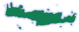
Korfes (officially: αι Κορφαί) is a village and seat of the namesake community in the Municipality of Malevizi, in the Heraklion Regional Unit, Crete. It used to belong to the Province of Malevizi.
Location
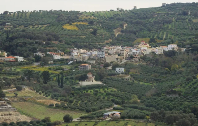
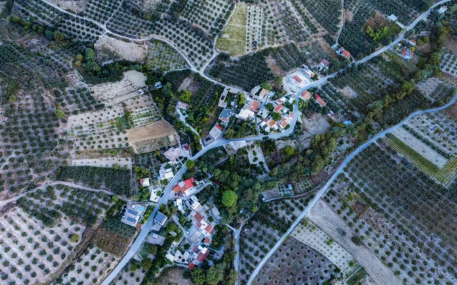
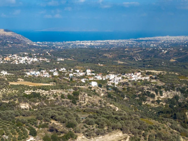
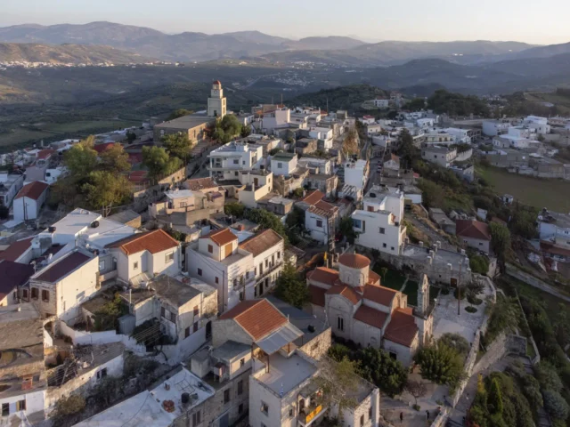
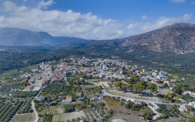
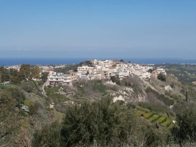
Korfes is located 19.8 kilometers from Heraklion on the road to Krousonas. The village is built on hills, hence its name, which translates to “peaks” or “summits.”
Geography
The village sits at an altitude of 290 meters and enjoys a panoramic view of the surrounding area. To the east, one can see the villages of Loutraki, Krousonas, and Asites. To the west, Pyrgou, Agios Myron, Petrokefalo, and Voutes are visible. The south offers views of Kamari, Moni, and Tylissos, connected to Korfes by the old road that passes through Keramoutsi and Kavrochori.
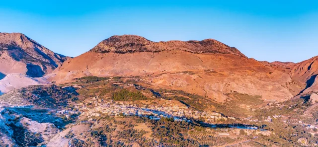
The name “Korfes” comes from the village’s location, surrounded by the peaks of the eastern foothills of Mount Psiloritis, which divides Crete into east and west. Above these foothills, at about 1600 meters, lie the Nida Plateau and Plain. The slopes of Psiloritis descend steeply into the uneven terrain of Heraklion along the line of Rogdia-Stroumboula-Tylissos-Korfes-Loutraki-Krousonas-Asites. Five difficult trails lead up to the Nida Plateau from this line, and one of them passes through Korfes, via the mountain locations of Kavallara, Geros Potos, Sykia, Krousoniotika Leivadia, Koritsi, and Mavro Maskali.
Natural Beauty
The fertile subsoil on the sloping hillsides of the village’s land supports mainly vineyards. Korfes used to be the main producer of the sultana raisin in Malevizi. Two rivers cross the land of Korfes:
- Vathias: This river springs from the mountains of Anogeia, Sisarcha, and Gonia villages, descends from Mount Kavallara, and crosses the lands of Korfes, Kamari, Tylissos, Keramoutsi, and Kavrochori, ending at the location of Mimpiki (where the Kavrochori bridge is, 500 meters from Kavrochori). Here, it joins the Xenikados River to form the Gazanos River.
- Xenikados: This river descends from the mountains of Krousonas and Rouvas and, after passing through the cave of Sarchos, crosses the land of Krousonas, Sarchos, Agios Myron, Korfes, and Kalesanou Lagkou (land of Krousonas and Kalesia), ending at Mimpiki.
Particularly attractive spots on Mount Kavallara include Agios Georgios and Lygeri, all the way to the Gonia Gorge at the edge of the village’s land, as well as the locations of Lianos, near the church of Agios Georgios, and Koutsounari, with the natural spring near the bank of the Vathias River. Other springs are located at Lygeri, which supplied Kamari village with water, and at Mati, near the Xenikados River. According to the residents of Korfes, the Mati spring has healing properties for skin diseases.
Until the mid-20th century, watermills were important for the local agricultural economy. Some of them were:
- The “Agadic Mill” on the south side of the Xenikados River, at the location called “Opiso Potamos” (Behind the River) on Korfes land.
- The mill at Aetos, on the north side of the river, on the land of Korfes and Pentamodi villages.
- The mill at Skorda, on the south side of the river, called “The Priest’s Mill,” on Korfes land.
Landmarks
An artesian well is located to the east of the village. Its water rises one meter above the ground and has a sulfurous smell. According to the residents, the sulfurous water of the spring has healing properties, especially for skin conditions. Ruins of special baths built by the Turks still remain.
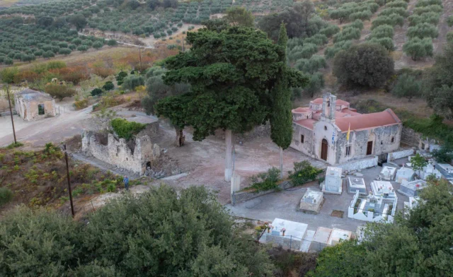
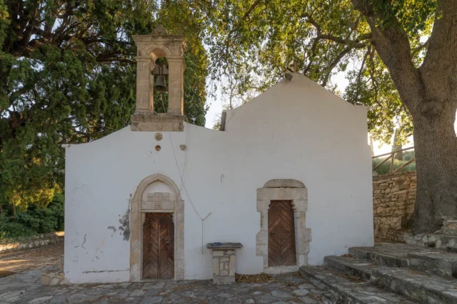
In the village, there is a beautiful square in the center, near the churches of Agia Triada (Holy Trinity) and the Dormition of the Theotokos, built in the 16th century. The main occupations of the residents are viticulture and olive cultivation, producing raisins and olive oil. The village has a regional medical office, a kindergarten, and a primary school.
The oak tree of Korfes has been declared a preserved natural monument. It is a centuries-old oak with particular botanical value, also connected to historical events of the area.
History
The village is mentioned in Venetian censuses from the 12th century onwards. In a document from 1248, it appears with the name Corfe. At that time, it belonged to the Latin Archbishopric. In 1369, it is also mentioned as Cotfe in the Western Archive of Chandax (Heraklion), and again in 1399.
In 1583, the Castrophylaca (a Venetian census) records it as Corfes, with 130 inhabitants. In the Turkish census of 1671, it is recorded as Cotfes with 43 households. In the Egyptian census of 1834, the village is written as Corufes, and in 1881, as Korfes in the Municipality of Malevizi.
On August 1, 1905, during the Theriso Revolution, a clash took place between British detachments and Cretan revolutionary forces who held Korfes. The revolutionaries were eventually forced to evacuate the village.
Administration
Korfes was officially recognized as a settlement in 1925 and designated as the seat of the newly established community of the same name. According to the Kallikratis plan and its amendment, Kleisthenis I, it constitutes the community of Korfes, which belongs to the municipal unit of Krousonas in the Municipality of Malevizi.
Settlement: Key Points
-
Historical References: Venetian censuses (12th century onwards), Castrophylaca (1583), Turkish census (1671), Egyptian census (1834)
-
Location: 19.8 km from Heraklion, on the road to Krousonas, in the Municipality of Malevizi.
-
Historical Significance: Site of conflict during the Theriso Revolution (1905).
-
Population Data:
YearPopulationNotes1583130Corfes1881478Christians1900591192860519816041991573200161620112932021222 -
Current Status: A village with a regional medical office, a kindergarten, and a primary school. The main occupations of the residents are viticulture and olive cultivation.









There are no comments yet.