
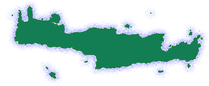
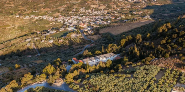
Kerasia is a village and the seat of the homonymous community in the Municipality of Heraklion, in the Heraklion regional unit of Crete, Greece. It is located in the former province of Malevizi at an altitude of 340 meters, at a distance of 19 km southwest of Heraklion.
Historical References
The village of Kerasia boasts a history that stretches back to the 13th century, with the earliest recorded mention found in the Basilicata census from that era. Its original name, “Kerassa,” derived from the Greek verb “kerno” (to offer), paints a picture of a hospitable community known for its tradition of warmly welcoming strangers with food and drink. This tradition is even immortalized in a local mantinada (a form of Cretan folk poetry) that speaks of the villagers’ generosity.
In more recent times, Kerasia has witnessed significant administrative changes. It once held the status of a Rural Municipality and the seat of its own community. However, with the implementation of the Kapodistrias plan in 1999, it was incorporated into the Municipality of Paliani. Further administrative reforms under the Kallikratis program in 2011 led to its inclusion in the Municipality of Heraklion, where it currently resides within the Paliani municipal unit.
Location & Dimensions
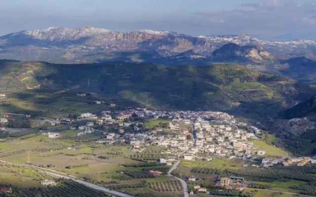
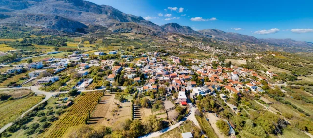
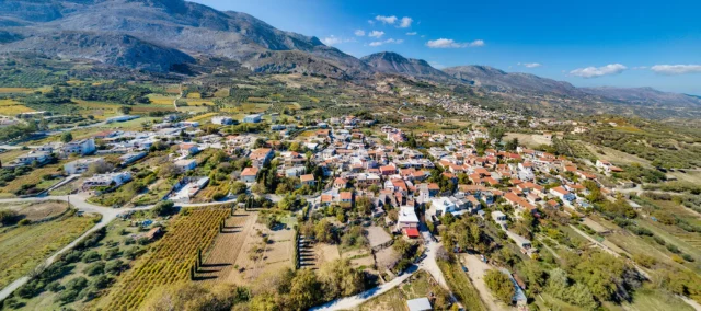
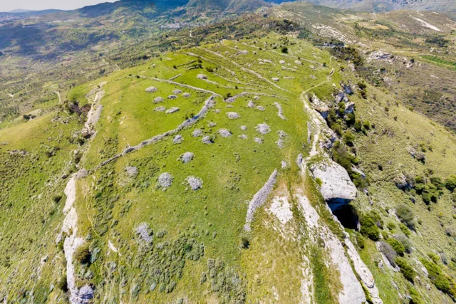
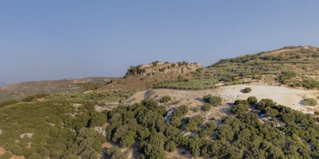
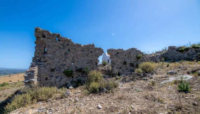
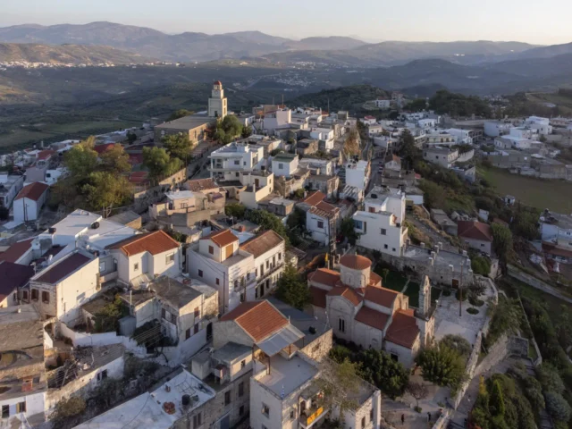
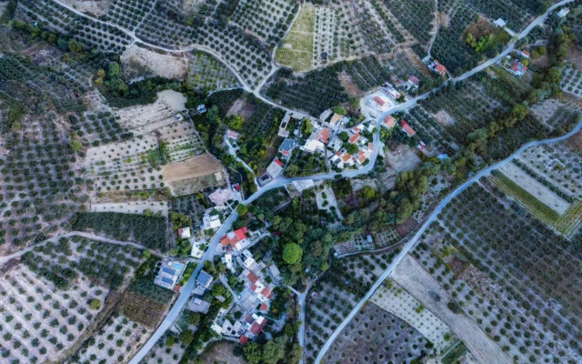
Kerasia is situated on the slopes of the “Chalepa” hill on its eastern side, offering a view of the Kerasanos plain, the Lasithi mountains, the historic Holy Monastery of Paliani, and the “Kastellos” hill. The new national road of Heraklion-Messara passes through the lower part of the village. It is located at an altitude of 340 meters and is 19 km southwest of Heraklion.
Historical Significance
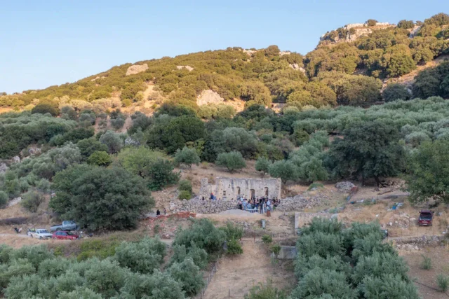
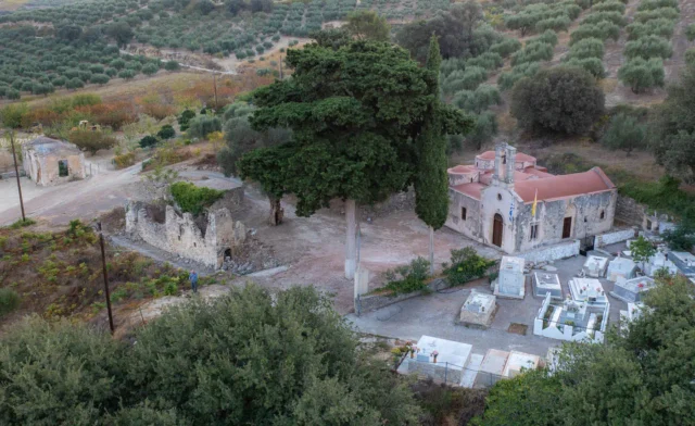
Kerasia’s historical significance lies not only in its documented past but also in its enduring cultural traditions and its role in shaping the local community. The village’s strategic location on the slopes of Chalepa Hill, with its commanding views of the surrounding plains and mountains, likely played a role in its historical development. It may have served as a lookout point or a place of refuge during times of conflict. The presence of the nearby historic Monastery of Paliani further enriches the village’s cultural landscape, offering a glimpse into the region’s religious heritage.
Population data over the years
The population of Kerasia has experienced fluctuations over the years, reflecting broader demographic trends in rural Crete. The 2001 census recorded a population of 243, which decreased to 149 in the 2011 census. This decline can be attributed to factors such as urbanization, emigration in search of better economic opportunities, and a decrease in agricultural activity.
Census |
Population |
|---|---|
2001 |
243 |
2011 |
149 |
Current Status
Today, Kerasia remains a vibrant community, albeit with a smaller population compared to its peak in the early 2000s. The inhabitants are mainly engaged in agriculture (sultana grapes, wine grapes, olive trees, orchards with fruit trees) and less in animal husbandry. The settlement itself has a satisfactory number of visitors from locals and foreign visitors.
The village has three kindergartens, two primary schools (seat of the 4th Primary Education Office), 1 high school, 2 Lyceums (of which one is an EPAL), banks, KEP, post office, Health Center, justice of the peace, police station and radio station.
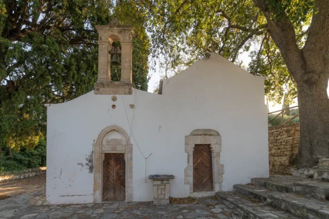
In the village there are the churches of Agios Georgios, Agios Raphael, Agios Nektarios, Agia Paraskevi and Agios Konstantinos, while the churches of Agios Georgios and Agios Myron are in Kappariana. The main church is dedicated to Agios Stylianos. The village’s annual festival, celebrating Agios Silas on July 30th, is a testament to its vibrant cultural scene and its commitment to upholding its traditions.
Village Key Points
- Historical References: The village’s original name is Kerassa, and it was once the seat of a Rural Municipality and a Community.
- Location: Kerasia is located on the slopes of the “Chalepa” hill, 19 km southwest of Heraklion.
- Historical Significance: The village’s name reflects the hospitality of its residents.
- Population data over the years: The population decreased from 243 in 2001 to 149 in 2011.
- Current Status: The inhabitants are mainly engaged in agriculture. The village has schools, churches, and attracts visitors.
Access
Kerasia is 5.5 kilometers away from the town Krousonas and 2.8 kilometers away from Kato Asites


There are no comments yet.