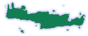
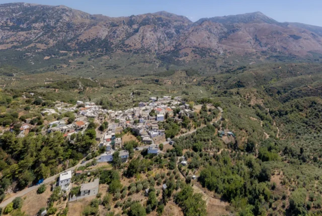
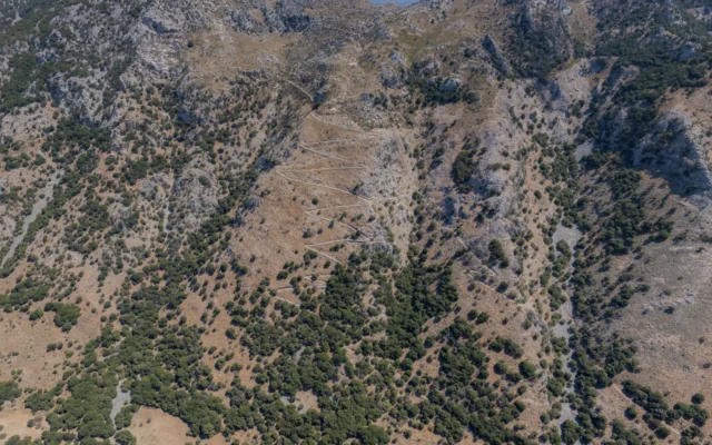
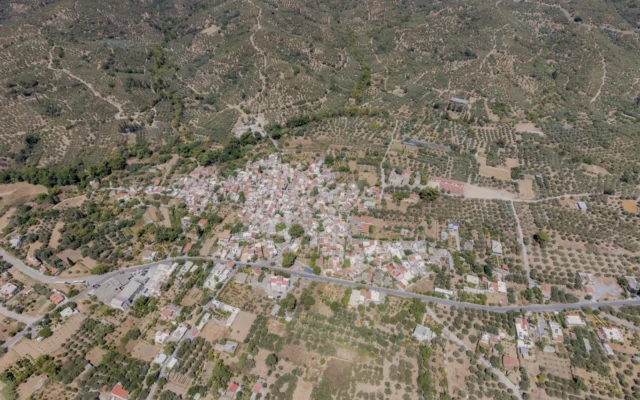
Kastamonitsa is a village in the Municipality of Minoa Pediada, Heraklion regional unit, Crete, Greece. It is located 42 kilometers southeast of Heraklion city, at an altitude of 520 meters, on the western slopes of the Sklopa hill in the Dikti mountains.
The village holds a strategic geographical position, controlling access to the Lasithi Plateau. This location made it a site of intense fighting during the Ottoman period and an important trading hub in the 20th century until the 1970s.
Origin of the Name
There are two main theories about the origin of the village’s name:
- settlers from Kastamonu: One theory suggests that the name was given by the first inhabitants who came from Kastamonu in Asia Minor after the liberation of Crete from the Arabs in 961 AD.
- chestnut tree with religious image: Another theory proposes that the name came from a chestnut tree (“kastania” in Greek) with an image of the Dormition of the Theotokos, where a church and later a monastery were built. The name “Kastamonitsa” might be a diminutive form of “Moni Kastanias” (Monastery of the Chestnut Tree).
History
The village is not mentioned in Venetian censuses or the 1671 Ottoman census. In the 1834 census, it is recorded with 35 Christian families, and in 1881 with 320 Christian inhabitants. The decrease in population during this period is attributed to a plague epidemic brought by the Egyptian army.
Kastamonitsa was first inhabited by Christian settlers from Asia Minor after Nikephoros Phokas recaptured Crete from the Arabs in 961 AD. Due to its strategic location, the village witnessed numerous conflicts throughout its history.
In 1364, the Venetian administration ordered the evacuation of Kastamonitsa and other villages in the Pediada and Lasithi regions to suppress rebellions against Venetian rule. Entering the village was forbidden under penalty of death until 1514 when it gradually began to be re-inhabited.
During the Ottoman period, Kastamonitsa saw several battles, including a significant clash in 1823 when Hassan Pasha, leading an Egyptian army, attempted to invade the Lasithi Plateau through the village but was defeated by Cretan rebels.
In 1841, the historical Battle of Mesada took place near Kastamonitsa, where a small number of Cretan rebels, led by the chieftain Vasilogiorgis, fought against a much larger Ottoman force to defend the Lasithi Plateau.
Other notable events in the village’s history include a battle in 1363 between Venetian forces and Cretan rebels, and clashes in 1866 during the Cretan Revolt.
During World War II, Kastamonitsa played a role in the Cretan resistance. In 1944, the village council helped forge identity papers for the Allied agents involved in the abduction of General Kreipe.
Landmarks
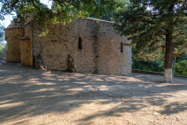
- Church of the Dormition of the Theotokos: An old church located in the village cemetery, dating back to the Venetian period.
- Church of Agia Kyriaki: The main church of the village, a three-aisled basilica built in 1890.
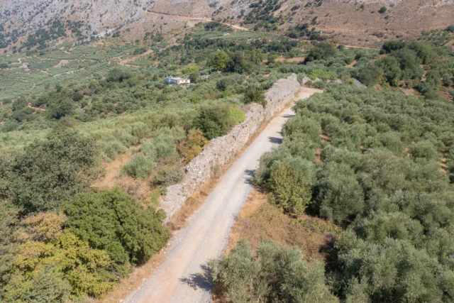
- Roman Aqueduct: Remains of a Roman aqueduct, part of the ancient water supply system of Lyttos, can be found north of the village.
- Traditional Architecture: The village retains traditional architectural features, including old houses with stone walls and decorated doorways.
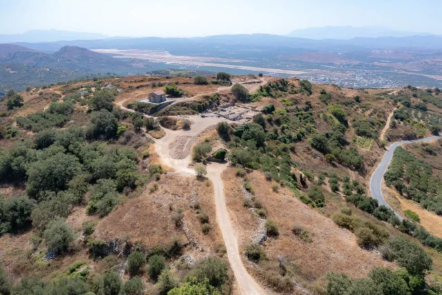
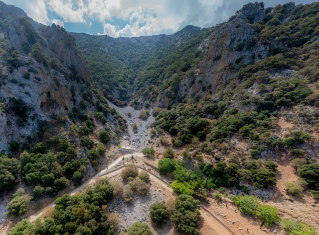
- Mesada: A scenic location 4 kilometers north of Kastamonitsa, with the small church of Agios Georgios, where traditional events are held.
Village Key Points
- Historical References:
- 1834 census with 35 Christian families.
- 1881 census with 320 Christian inhabitants.
- Location: Municipality of Minoa Pediada, Heraklion regional unit, Crete, Greece. 42 km southeast of Heraklion city.
- Altitude: 520 meters
- Historical Significance: Strategic location controlling access to the Lasithi Plateau, scene of numerous battles during Venetian and Ottoman periods, role in Cretan resistance during World War II.
- Population:
Year |
Population |
|---|---|
1834 |
35 Christian families |
1881 |
320 Christian inhabitants |
2001 |
516 |
2011 |
430 |
2021 |
220 |
- Current Status: Active village with an agricultural economy and some tourism.
Reference
Access
Kastamonitsa is 11.3 kilometers away from Arkalochori and 4.0 kilometers away from Kastelli









There are no comments yet.