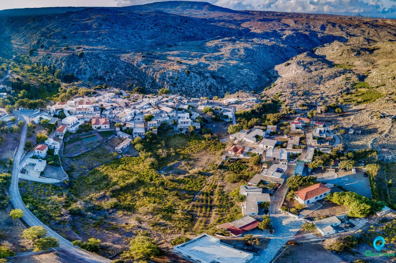
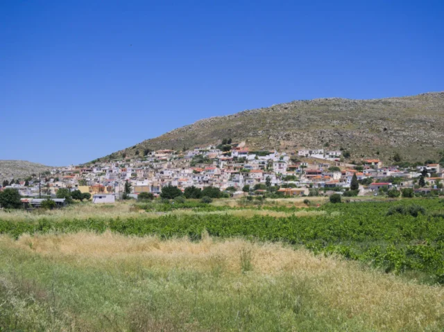
Karydi is a village and seat of the namesake community in the municipality of Sitia, Lasithi, in eastern Crete. It is situated at an altitude of 600 meters and is located 23.5 kilometers from Sitia. The village is not mentioned in Venetian censuses, but Stergios Spanakis mentions that it existed, as it is mentioned in the Ottoman census of 1671, as Karidi, with 17 households. In the 1834 census, conducted by the Egyptians and preserved by Robert Pashley, 15 Christian and one Muslim family lived in Karydi. It was the seat of a municipality during the last years of Ottoman rule. The historian, founder, and first Director of the Historical Archive of Crete, Nikolaos I. Papadakis (1870-1941), was born in Karydi.
Points of Interest
The Village
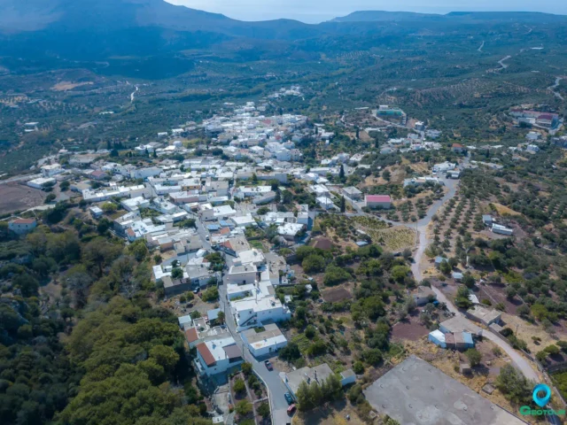
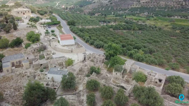
The village has two poles of development, which are separated by a small gorge, and has an almost circular shape. In the center of the village is the square with the church, the cafe, and traditional shops, namely the grocery store, the tailor’s shop, and the saddlery. The village’s buildings are dense, with cobbled streets 0.8 to 2.5 meters wide, following the natural terrain. There are also vertical roads, which, however, have a steep slope and have steps.
The village’s houses are small one-room houses, classic examples of folk rural Cretan architecture, with an area of 25 to 35 square meters, and the two-story houses are few. The houses have minimal openings and communicate internally with each other. The outer row of houses has climbing walls, meaning they have a reinforcement of carved stone with a slight inclination built at the base. These features indicate that the settlement has a defensive character. The entrances to the houses are arched, and the other openings have either straight or arched lintels, echoing the Venetian tradition. The arches have keys at their top, which may be decorated with plant motifs. The stone walls are built of rubble and are 0.5 to 0.7 meters thick. The roofs are flat and have a hole for the chimney decorated with a vase. They may have outbuildings, where the oven and a winepress were located in the courtyard.
The old elementary school of the village now houses the information center of the Sitia geopark. The center also offers hospitality-accommodation space.
Peristeras Cave
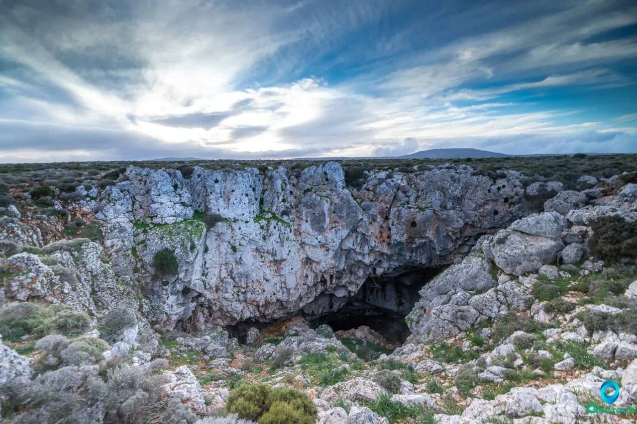
Near Karydi is the cave of Ano Peristeras, one of the largest river caves in Greece, with a mapped length of about 7 kilometers. Two important caves exist in the Karydi region, with traces of human habitation, the Refuge at Limniolakos and the Peristeras at Platyvolo.
Peristeras is one of the most important caves in Crete and is located 2-3 km east of the village and 300 m north of the carriageway. The altitude at the entrance is 540 m.
The cave opens into Jurassic limestone. It is of the type of cave-pothole since, in its lowest part, the height difference from the entrance is 63 m. The entrance is 23.5 meters wide and 12 meters high. A large rockfall does not allow for a thorough investigation.
After the entrance, one passes into a vast hall 80 m long, 35 m wide, and 2-12 m high. A narrow passage at the back left leads, after a steep descent of 4 m, to a series of arched chambers that end in the left part of the great hall. Chambers A and B have rich speleothem decoration of stalagmites, stalactites, and columns. Human bones and traces of habitation were found in chambers C and D. From the ostraka, it appears that the cave was used from the Late Minoan period to the Early Minoan and Byzantine times.
Settlement: Key Points
-
Historical References: Ottoman census of 1671, 1834 census by the Egyptians, 1881 census, and 1900 census.
-
Location: Eastern Crete, near Sitia.
-
Historical Significance: Seat of a municipality during the Ottoman rule.
-
Population Data:
YearPopulationNotes1881228228 Christians1900214192829119403581951302196128219712571981142199167200151201143202114 -
Current Status: Village and seat of the namesake community.












There are no comments yet.