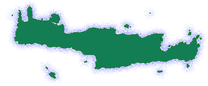
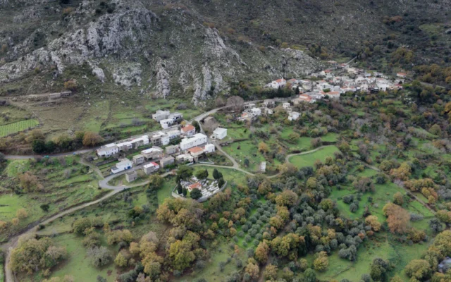
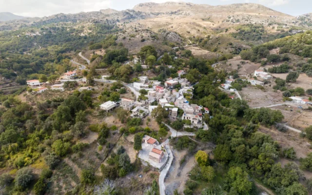
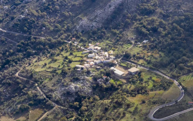
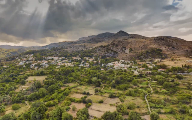
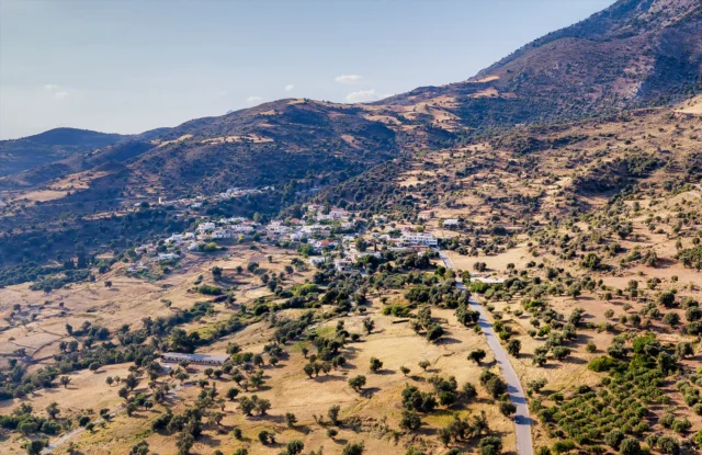
Kardaki is a village within the Vrysses Community of the Amari Municipality, situated in the Rethymno regional unit of Crete, Greece. According to the 2011 census, it has a population of 30. The village is located at an altitude of 580 meters and is 44 kilometers away from Rethymno. Its name is believed to have originated from the word “karydaki” (walnut), possibly referring to a walnut tree in the area.
Historical Context
Francesco Barozzi mentions the village as “Caridhachi” in the Amari province in 1577. The 1583 Venetian census by Kastrofylakas lists it as “Caridachi” with 152 inhabitants, and Francesco Basilicata refers to it as “Caridhachi” in 1630. While the village is not mentioned in the 1834 Egyptian census, it appears in Michael Chourmouzis’ work “Cretika” in 1842 as “Kardaki.”
The 1881 census lists it as “Karydaki” in the Monastiraki municipality, with 28 inhabitants, all Christian. In the 1900 census, it had 38 inhabitants and belonged to the Panakraion municipality. The 1920 census records it as attached to the rural municipality of Smiles. In 1925, the village was incorporated into the Vrysses community, where it remained until the Kapodistrias administrative reform, when it was attached to the Municipality of Syvritos. Since 2011, it has been part of the Amari Municipality.
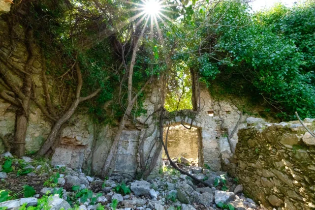
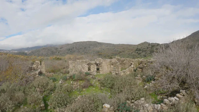
On August 22, 1944, following the abduction of Lieutenant General Kreipe, German forces carried out reprisals against the villages of Kendros. They surrounded Kardaki and executed 20 men, with only one survivor, Manolis Vlepakis, who was severely wounded. The Germans then proceeded to destroy the village’s houses. However, when they attempted to blow up the Church of Saint John, they were reportedly driven away by a swarm of bees.
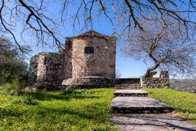
Points of Interest
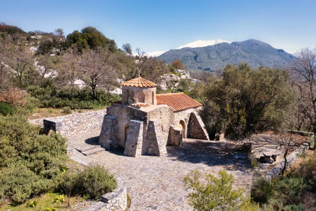
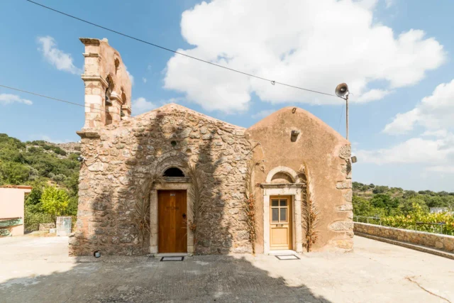
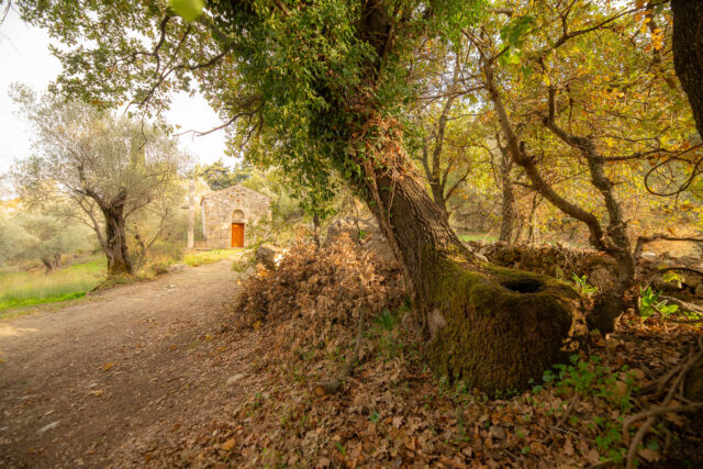
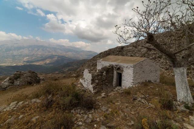
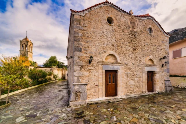
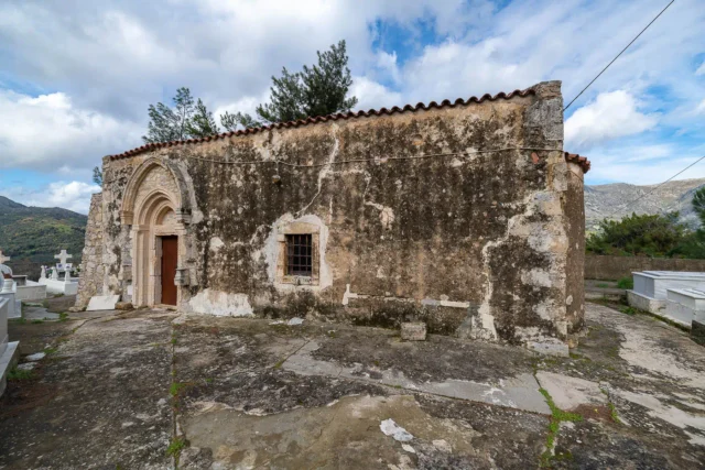
- The village church is dedicated to Agia Paraskevi (Saint Paraskevi).
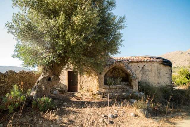
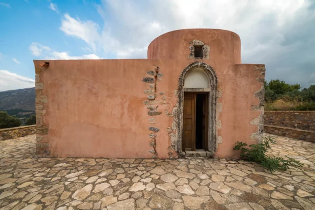
- The Church of Michael Archangelos or Strategos, dating back to the 13th century, is also preserved in the village.
Village Key Points
- Historical References: Mentioned in historical records from 1577 onwards.
- Location: Amari Municipality, Rethymno regional unit, Crete, Greece.
- Dimensions: Small village.
- Historical Significance: Suffered destruction and executions during WWII as part of German reprisals.
- Population data over the years:
Census Year |
Population |
|---|---|
1900 |
38 |
1920 |
33 |
1928 |
28 |
1940 |
38 |
1951 |
37 |
1961 |
31 |
1971 |
31 |
1981 |
24 |
1991 |
41 |
2001 |
30 |
2011 |
30 |
- Current Status: Small village with a declining population.
Access
Kardaki is 19.8 kilometers away from the town Tympaki and 2.0 kilometers away from Gerakari


There are no comments yet.