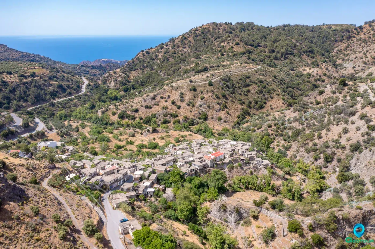
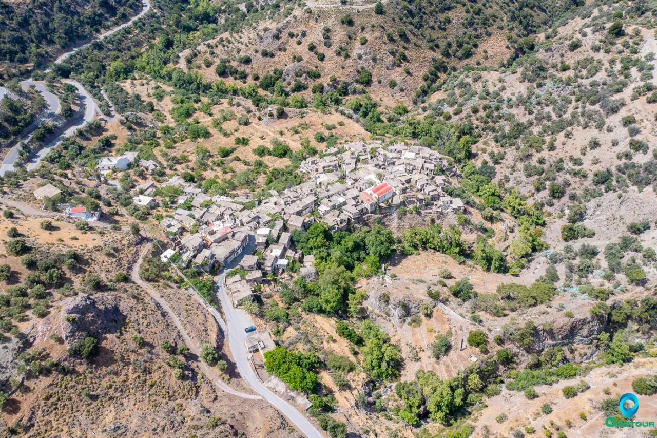
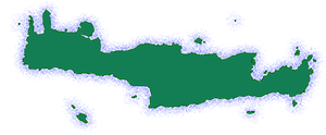
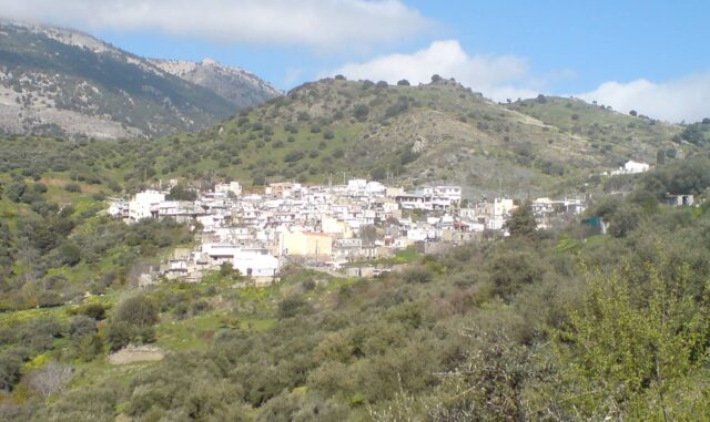
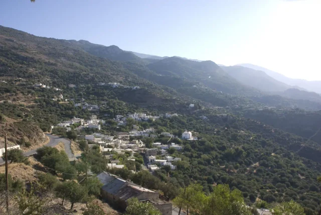
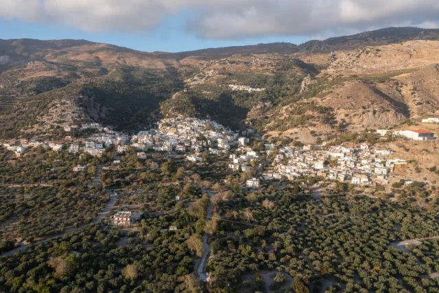
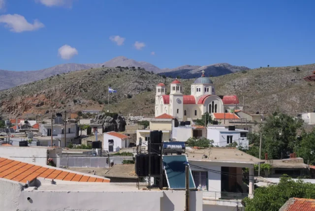
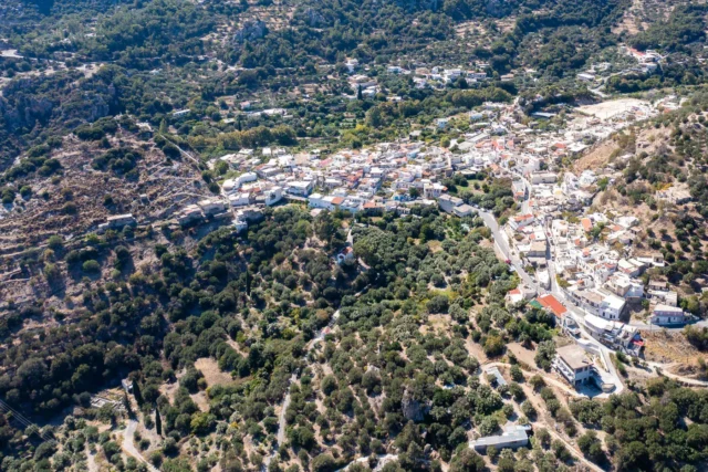
Kalami is a village situated in the southeastern part of the Viannos municipality in the Heraklion regional unit, on the island of Crete, Greece. It is located 78 km from Heraklion, 14 km from Ano Viannos, and 31 km from Ierapetra. The village is built at an altitude of 480 meters, on the edge of a small plateau. The Blavari River flows to the northwest, and the settlement is surrounded by orchards to the south and the “Prophet Elias” hill to the east. The central church is dedicated to Agios Georgios (Saint George).
History
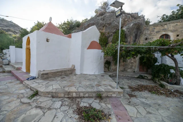
The village was likely founded in the late Venetian or early Ottoman period. Its location in a semi-mountainous area was chosen for protection against enemy raids. Although relatively close to the sea, the village was deliberately built so that it is not visible from the coast, a common practice in the area to avoid pirate attacks. The first houses were constructed near the site of the current church of Agios Georgios and Charalambos, where Christians from surrounding villages used to gather in secret for worship. Over time, the village grew and expanded.
Present Day
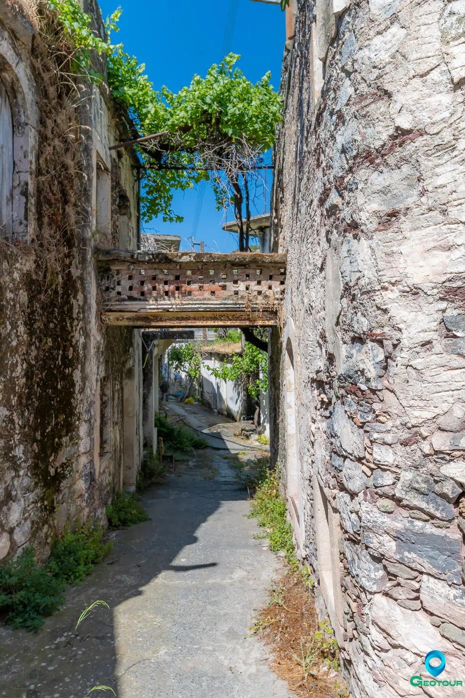
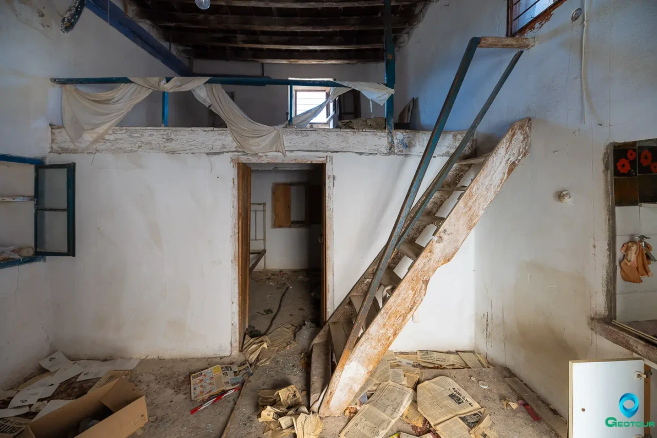
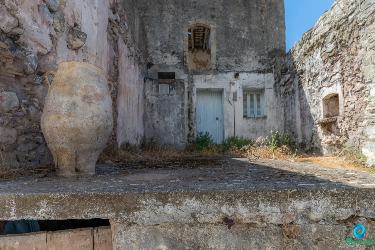
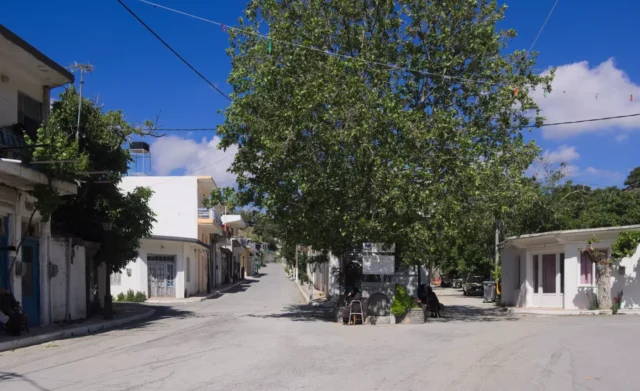
Today, Kalami is largely deserted. Most residents have relocated to coastal settlements, particularly Psari Forada (Sidonia). The official 2001 census recorded a population of 44 in Kalami. The village has a long, narrow layout, running east to west. The streets are very narrow and paved with stone, making them inaccessible to cars, which can only use the peripheral road around the village.
Economy
In the past, the main occupations of the residents were the cultivation of olive trees, cereals, fruit trees (especially citrus), carob trees, and vineyards. They also engaged in animal husbandry to a lesser extent. These activities primarily served to meet the needs of their families. After 1960, the standard of living began to improve as the focus shifted to the cultivation of early vegetables and bananas.
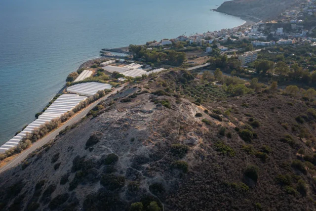
Like most mountain settlements, Kalami served as the main residence for the agricultural population, particularly during the winter months. In the summer, people would move to lower-lying areas with milder climates, known as “metochia,” which were small settlements used seasonally for cultivation and harvesting. The most important metochia in the area were Vigles, Skafidia, Psari Forada, Roussos Lakkos, and Pente Petres. These were primarily used for the cultivation of cereals and the harvesting of olives, and many olive presses (aletrouvia) were located there.
Social and Economic Conditions
After the liberation of Crete from the Ottomans in 1898, the social and economic conditions in Kalami began to improve. Some rights were granted earlier, with the Halepa Pact of 1878, which created a semi-autonomous province with special privileges. In 1879, a school was established in Kalami, which operated until 1987. Until 1916, the village church housed two parishes, with the priests being the brothers Antonis and Grigoris Mavrakis. The feast of Agios Georgios was celebrated with particular splendor, alternating between the two parishes each year.
Kalami experienced significant growth in the 1930s until the German occupation. It became the most developed commercial center in the municipality. From 1920, a customs office and seven warehouses (magatzedes) operated at Psari Forada, where ships would unload and load various goods for the entire municipality. The goods were transported by animals through Kalami, reaching as far as Arkalohori.
In 1929, the first diesel-powered olive press was built in the village, marking a significant step forward for the region’s olive oil production. In 1931, a second, water-powered olive press was established to meet the growing needs of the residents. A water-powered flour mill also operated during the same period. Many professions flourished, some of which have since disappeared, including a blacksmith, tinsmith, saddle maker, cobbler, tailor, midwife, and others. A general store selling various goods, including fine fabrics from Athens and Heraklion, attracted customers from all over the municipality.
During the German occupation, the entire Viannos municipality suffered greatly. In 1949, a reconstruction team of five Swiss builders arrived in Kalami and rebuilt many damaged houses. The most important project at that time was the construction of a water supply system with iron pipes and a cement carrier. The same year, the Viannos-Sykologos road was opened to vehicles. In 1952, the Sykologos-Gdochia road was opened, connecting the village by road to Ierapetra. Until then, the only route to Ierapetra was a stone-paved path built during the Ottoman period. The road network to Heraklion and Ierapetra was improved after the 1960s when the roads to Kalami were paved.
Culture and Traditions
Despite their hard work in the fields and economic difficulties, the people of Kalami were known for their love of festivities. During the winter, when most people were in the metochia, celebrations were held there. Especially on the feast of the Virgin Mary (November 21st), residents from all the surrounding metochia would gather in Skafidia, where the church was located. In the summer, when they returned to Kalami, a large dance with a lyre player would be held every Sunday afternoon, bringing the whole village together. The dance took place in “Vasilis’ Kambos” under the shade of walnut trees, and the place was called “choreftra” (dancing place).
Administrative Information
Kalami was officially recognized as a settlement in 1925 and designated as the seat of the newly established community of the same name. Until 1931, it belonged to the Lasithi prefecture. According to the Kallikratis program, Kalami, along with the settlements of Agia Paraskevi, Kato Vigles, Skafidia, Stavria, Syndonia, Faflagos, and Psari Forada, constitute the local community of Kalami Mourion, which belongs to the municipality of Viannos. The 2011 census recorded a population of 8 in Kalami.
Kalami: Key Points
- Location: Southeastern Viannos municipality, Heraklion regional unit, Crete, Greece.
- Historical Significance: Founded in the late Venetian or early Ottoman period; strategically located for protection; once a thriving commercial center.
- Population Data: See table below.
- Current Status: Largely deserted, with most residents having relocated to coastal areas.
Year |
Population |
Notes |
|---|---|---|
1881 |
344 |
Christians |
1900 |
438 |
|
1928 |
449 |
|
1940 |
535 |
|
1951 |
420 |
|
1961 |
501 |
total (including Skafidia, Psari Forada and probably Syndonia) |
1971 |
447 |
total (including Skafidia, Psari Forada and probably Syndonia) |
1981 |
179 |
|
1991 |
93 |
|
2001 |
44 |
|
2011 |
8 |
|
2021 |
6 |









There are no comments yet.