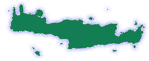
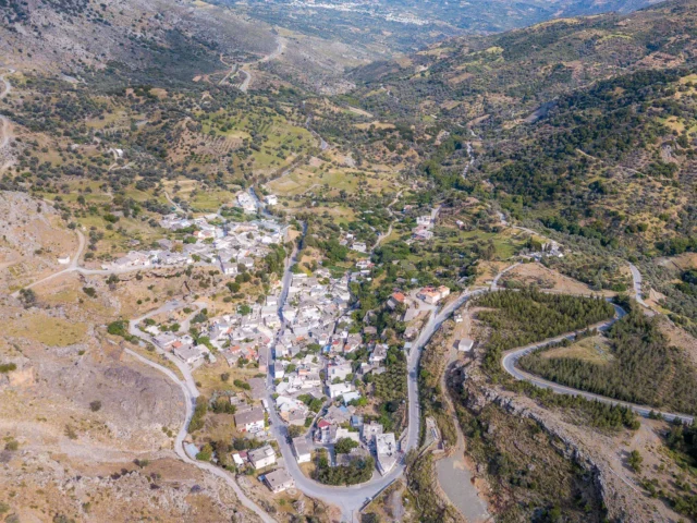
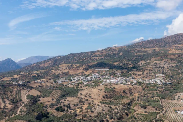
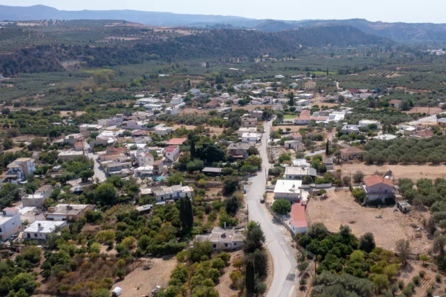
Grigoria is a village and the seat of the homonymous community in the Municipality of Phaistos, in the Heraklion regional unit of Crete, Greece. It is located on the southern foothills of Mount Psiloritis, at an altitude of 420 meters, offering a panoramic view.
Historical References
Grigoria’s documented history stretches back to the Venetian era, with the earliest reference appearing in Venetian censuses as far back as 1563. This indicates a continuous presence in the region for over four centuries. The village’s name, derived from the Greek word “grigoros” (meaning “fast”), is believed to be linked to its historical role as a swift messenger route or a place known for its agile inhabitants. The village’s strategic location in the foothills of Mount Psiloritis, offering panoramic views of the surrounding landscape, likely played a role in its development and resilience.
Location & Dimensions
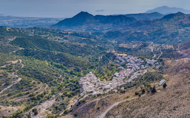
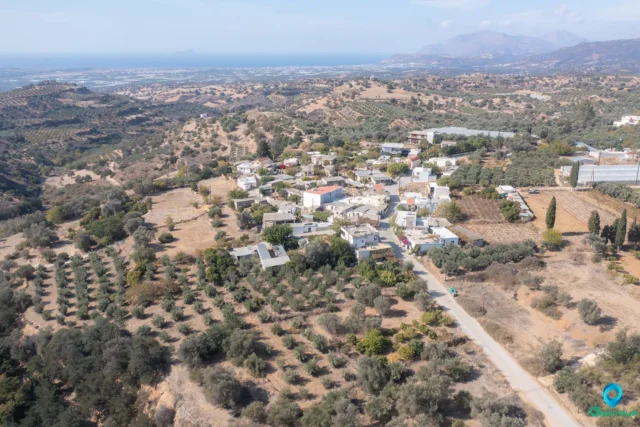
Grigoria is nestled amidst the picturesque southern foothills of Mount Psiloritis, the highest mountain in Crete. Situated at an elevation of 420 meters above sea level, the village enjoys a pleasant climate with mild winters and warm summers, conducive to agricultural activities. It is located between the villages of Kamares, Magarikari, and Lagolio, and is approximately 74 kilometers from Heraklion, the capital of Crete.
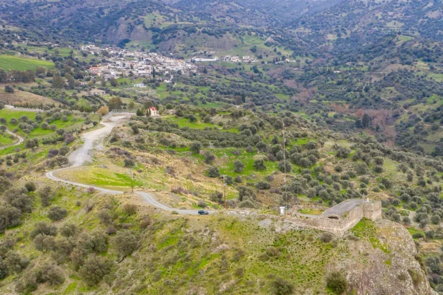
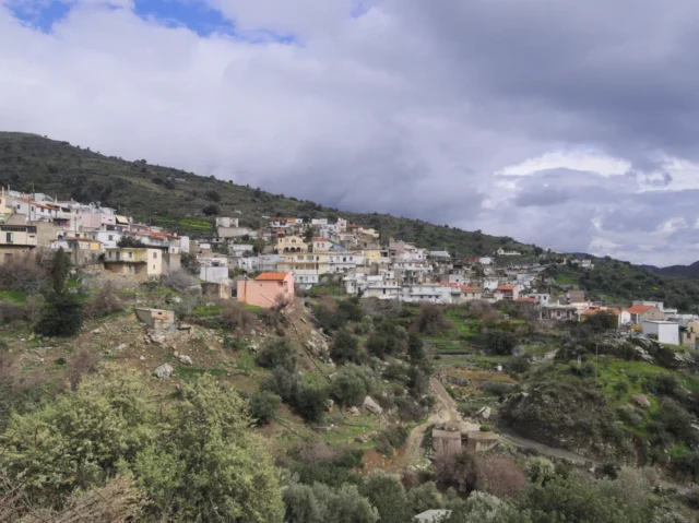
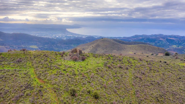
The village’s topography is characterized by its mountainous terrain, with Mount Kartalos (702 meters) to the west and the abandoned settlement of Temeneli nestled between Grigoria and Kartalos. The village itself is relatively compact, with traditional stone houses and narrow streets winding through the hillside. Its elevated position offers breathtaking views of the Messara Plain, the Libyan Sea, and the surrounding mountains.
Historical Significance
Grigoria’s historical significance lies not only in its documented past but also in its role as a witness to the tumultuous events that have shaped Crete’s history. The village’s strategic location in the foothills of Mount Psiloritis likely made it a point of interest during various conflicts and periods of unrest.
The village’s suffering during World War II underscores the impact of the German occupation on Cretan communities. The resilience of its inhabitants in rebuilding their lives and preserving their cultural heritage in the aftermath of war is a testament to their strength and determination.
Population Data Over the Years
The population of Grigoria has experienced fluctuations over time. While the 2001 census recorded a population of 214, the 2011 census showed a decrease to 173 inhabitants. This decline, similar to that observed in many rural Cretan villages, can be attributed to factors such as urbanization, emigration, and changes in agricultural practices.
Current Status
Today, Grigoria remains a vibrant community, deeply rooted in its agricultural traditions. The main occupations of its residents are olive cultivation and livestock farming, utilizing the fertile lands and favorable climate of the region. The village also boasts a regional medical clinic, ensuring access to healthcare services for its inhabitants.
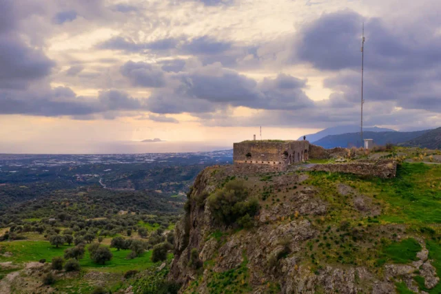
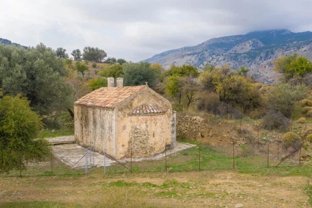
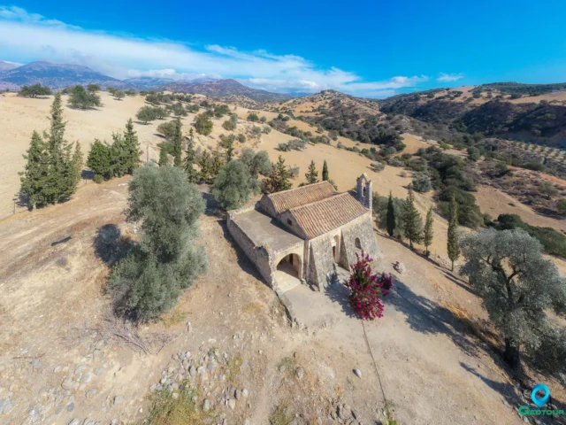
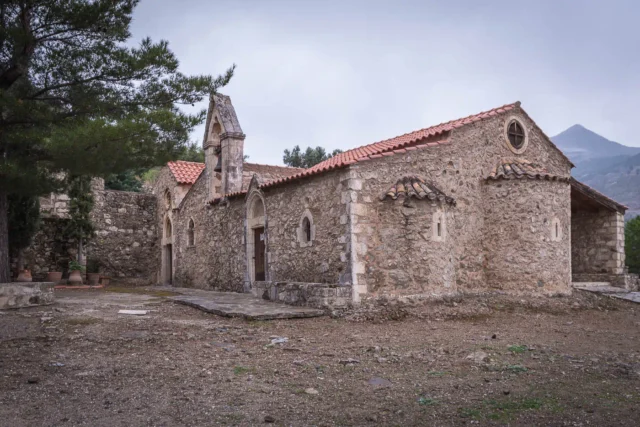
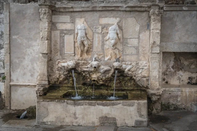
The presence of churches dedicated to Saint George and Saint Anthony highlights the village’s religious heritage and its role as a center of community life. Additionally, the nearby Koules castle and the Temeneli spring offer opportunities for historical and natural exploration, attracting visitors interested in the region’s rich past and scenic beauty. The traditional mill “Moulali” from 1850 is also worth seeing.
Despite the challenges posed by rural depopulation and the need for economic diversification, Grigoria continues to thrive as a close-knit community. Its inhabitants actively participate in cultural events, such as the annual festival with Cretan music on September 14th, and maintain their traditional way of life. The village’s resilience and its commitment to preserving its cultural heritage ensure that it remains an integral part of the Cretan landscape.
Village Key Points
- Historical References: Grigoria is mentioned in Venetian censuses since 1563. Its name comes from the word “grigoros” (fast).
- Location: It is located on the southern foothills of Mount Psiloritis, between the villages of Kamares, Magarikari, and Lagolio.
- Dimensions: The village is situated at an altitude of 420 meters.
- Historical Significance: The village suffered during World War II.
- Population data over the years: The population decreased from 214 in 2001 to 173 in 2011.
- Current Status: The main occupations are olive cultivation and livestock farming. The village has a regional medical clinic and churches dedicated to Saint George and Saint Anthony. There are also some attractions for visitors, such as the Koules castle, the Temeneli spring, a walking route to Lagolio, and the traditional mill “Moulali.”
Access
Grigoria is 7.7 kilometers away from the town Tympaki and 10.8 kilometers away from Moires


There are no comments yet.