
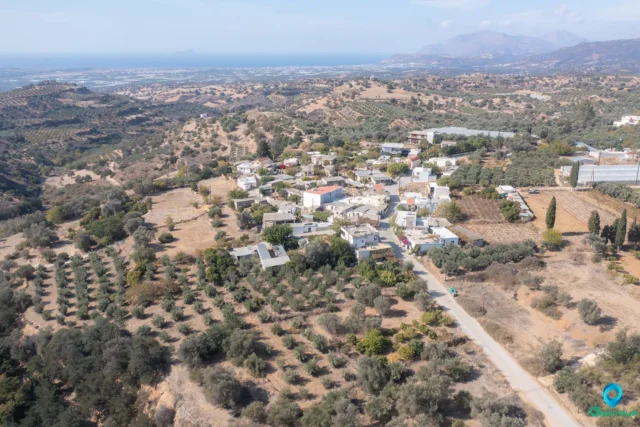
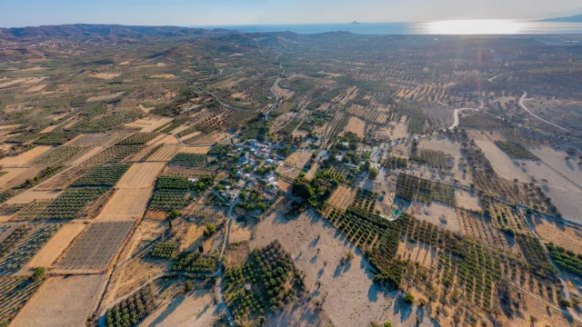
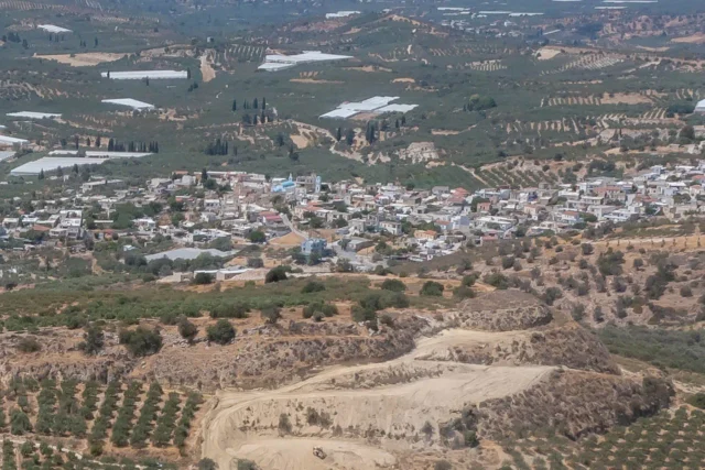
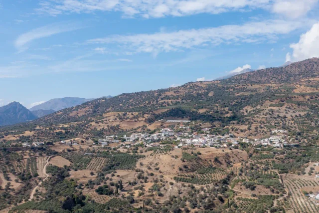
Faneromeni is a village situated in the Heraklion regional unit on the island of Crete, Greece. It is part of the Phaistos municipality and falls under the Tymbaki municipal unit. The village is located approximately 7 kilometers from Tymbaki.
Etymology and Early History
The name “Faneromeni” is likely connected to the presence of a church dedicated to the Virgin Mary within the village. The Greek word “faneromeni” often refers to apparitions or revelations of the Virgin Mary, suggesting a possible link to the village’s name. Historical records indicate the existence of the “church of the Virgin Mary in Faneromeni” as early as 1373, implying that a settlement likely existed in the area even before the first explicit mention of the village in 1583.
Historical Context
The village of Faneromeni has witnessed significant historical events, including the Cretan War of 1866-1869. During this conflict, the Turks desecrated two churches in the village, underscoring the turbulent times the village endured.
Demographics
The population of Faneromeni has fluctuated throughout its history. In 1881, it had 244 residents, which increased to 313 by 1900. However, the population declined to 241 in 1920, possibly due to the aftermath of the Cretan War. The village experienced growth again, reaching 401 residents in 1940 and 454 in 1951. Since then, the population has steadily decreased, with 304 residents in 1971, 255 in 1981, 243 in 1991, and 188 in 2001. The 2011 census recorded a population of 475 in Faneromeni.
Economy and Points of Interest
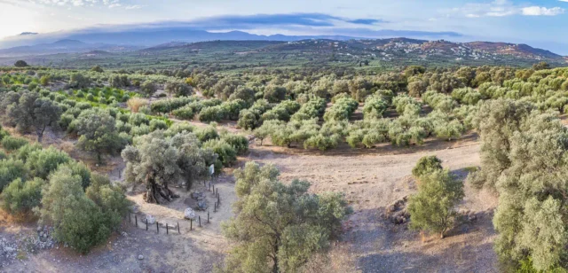
The primary occupation of the residents of Faneromeni is agriculture. The village also boasts several landmarks, including:
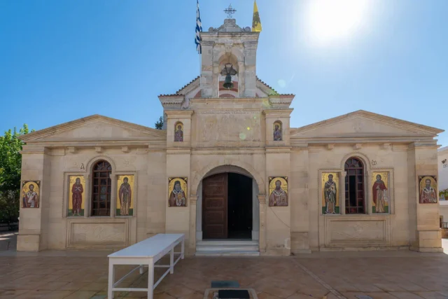
- The Church of the Annunciation of the Virgin Mary: The central church of the village.
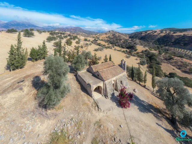
- The Church of Saints Anthony and Nectarios: A two-aisled church located at one of the village entrances.
- The Church of Saint John: Situated at another entrance to the village.
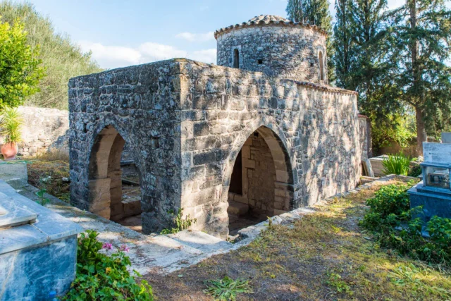
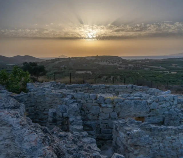
- Faneromeni Cave: A cave in the wider area that served as a place of worship from the Late Minoan period to Roman times.
- Faneromeni Dam: An artificial dam built in recent years for irrigation purposes, located on the border with the villages of Galia and Skourvoula.
- Koutsoulitis River: A river that passes through the village, originating from the Votomos spring near Zaros.
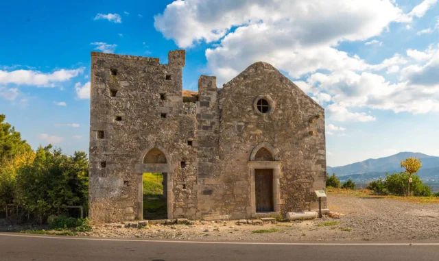
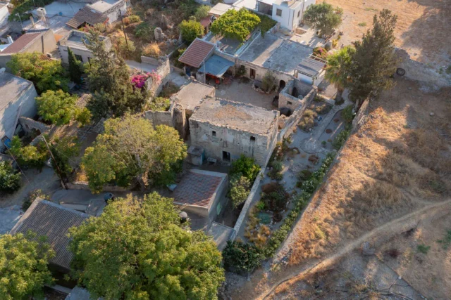
- A preserved Turkish bathhouse: A reminder of the village’s Ottoman past.
Administrative Changes
Over the years, Faneromeni has undergone administrative changes. In 1998, it was incorporated into the Tymbaki municipality, and in 2011, it became part of the Phaistos municipality.
Education
The village once had a kindergarten and a primary school, which have since been merged with the neighboring schools in the village of Voroi.
Community of Faneromeni
The Community of Faneromeni, established in 1926, includes the village of Faneromeni itself, as well as the settlements of Kalyvia and the Kalyviani Monastery. According to the 2011 census, the total population of the Community of Faneromeni was 628.
Village Key Points
- Historical References: First mentioned in 1577, the village’s church was recorded as early as 1373.
- Location: Heraklion regional unit, Crete, Greece.
- Historical Significance: The village has witnessed historical events like the Cretan War and has a preserved Turkish bathhouse.
- Population data over the years: 1583 (51 residents), 1881 (244), 1900 (313), 1920 (241), 1940 (401), 1951 (454), 1971 (304), 1981 (255), 1991 (243), 2001 (188), 2011 (475).
- Current Status: An agricultural village within the Phaistos municipality, experiencing a gradual population decline in recent decades.
Events
Access
Faneromeni is 5.5 kilometers away from the town Tympaki and 4.9 kilometers away from Moires


There are no comments yet.