
 next to Doxaro in Mylopotamos Rethymno Crete")


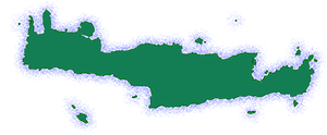
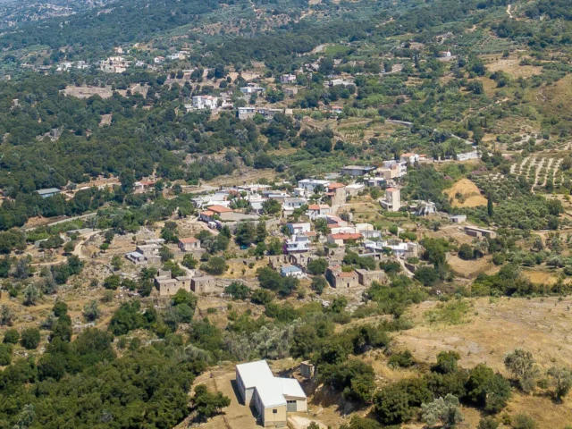
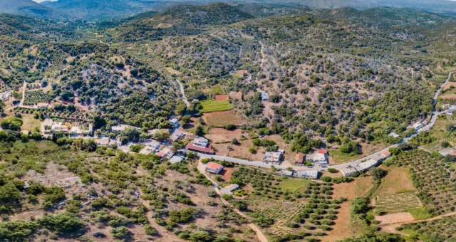
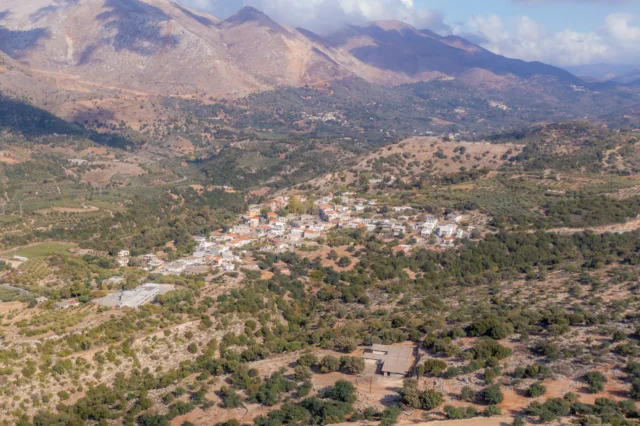
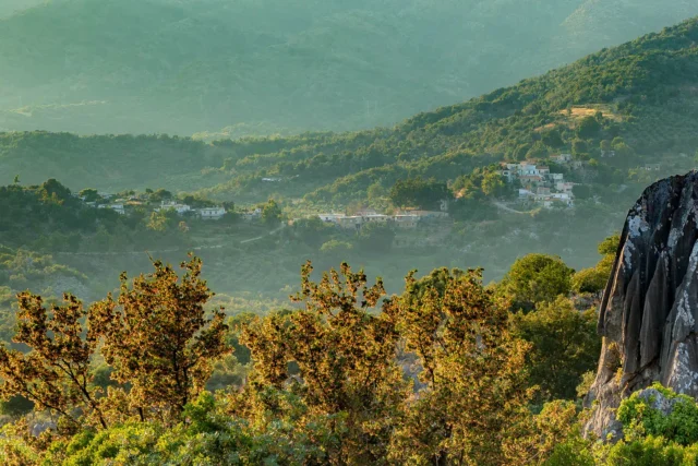
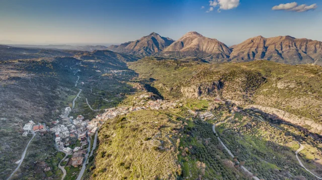
Doxaro is a village and the seat of the community of the same name in the Mylopotamos Municipality in the Rethymno regional unit of Crete, Greece. Doxaro is located 42 km east of Rethymno, at an altitude of 260 m, on the southern foothills of Mount Kouloukonas. On the old national road Heraklion-Rethymno, the settlement of Kambos Doxarou has been created, which according to the 2011 census has 91 inhabitants.
Historical References
The origin of the current name of the village is patronymic, from the surname Doxaras, which is attested in documents of the 14th century. Until 1933 it was known by the name Klepsimia. Although the village is not mentioned in the Venetian censuses, it existed at that time, as it is mentioned in the Ottoman census of 1671 as Klepsimno with 11 charatsia. It is also mentioned in the work “Kretika” by Michael Chourmouzis in 1842 as Klepsimia. According to the 1881 census, it had a purely Christian population of 112 inhabitants and belonged to the municipality of Garazo. In the 1900 census it had 168 inhabitants and was under the same municipality. In 1920 it was designated the seat of its own rural municipality. In 1925 it was designated the seat of the community of Klepsimia (later Doxaro), which was maintained until the Kapodistrian administrative division in 1997, when it was incorporated into the municipality of Kouloukonas. Kambos Doxarou was recognized as an independent settlement in 1961.
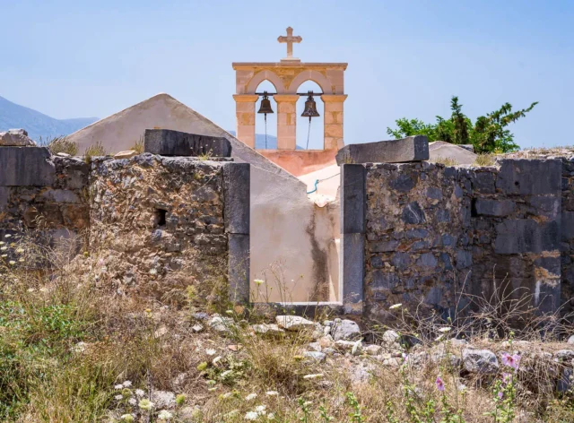
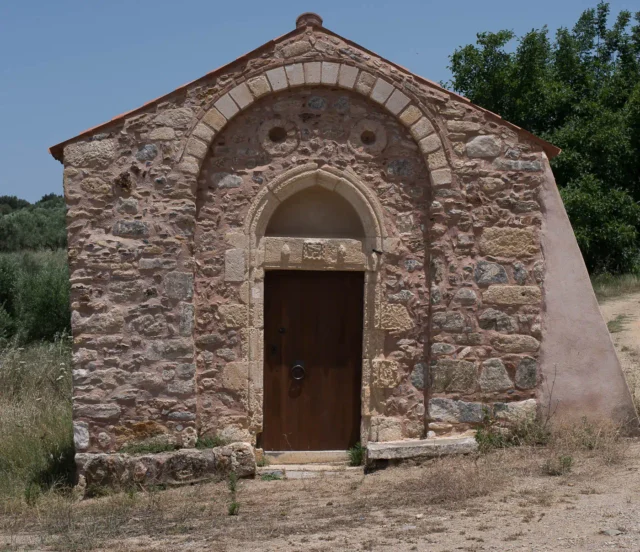
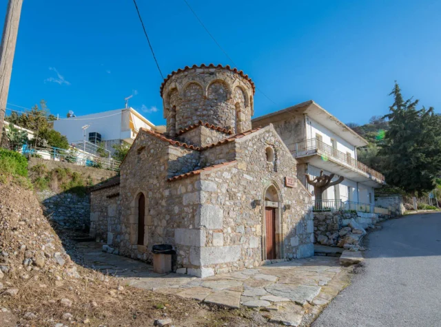
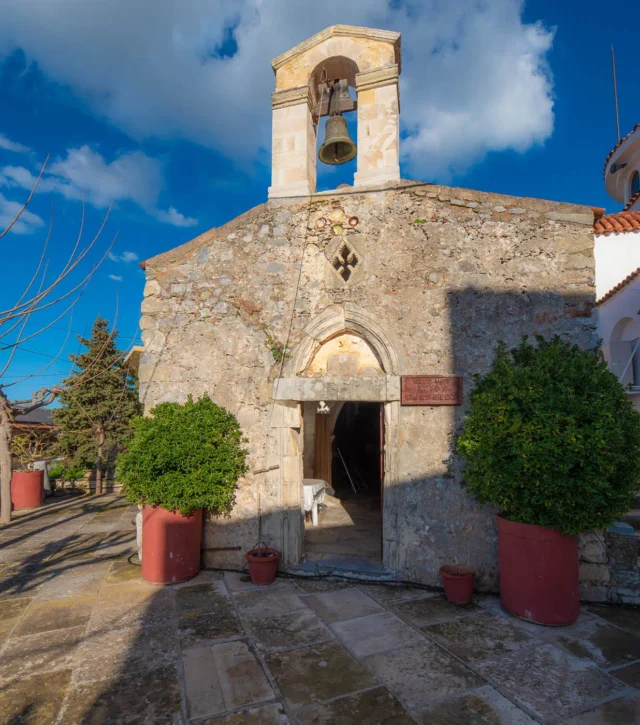
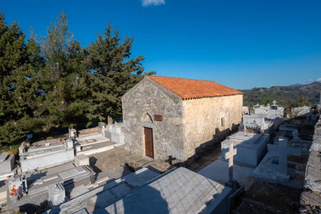
The central church of the parish is the two-aisled church of the Dormition of the Theotokos and Agios Charalambos. The iconostasis of the church dates from 1869. In the village there is also the church of Agios Nektarios.
Historical Significance
Doxaro’s historical significance extends beyond its own boundaries. The village’s participation in resistance movements against both Ottoman and German occupation underscores its role in shaping the broader narrative of Cretan history. The presence of the Vosakos Monastery, with its roots in the Venetian era, adds a layer of religious and cultural heritage to the area.
Population Data Over the Years
Census Year |
Population |
|---|---|
1900 |
168 |
1920 |
216 |
1928 |
216 |
1940 |
250 |
1951 |
285 |
1961 |
211 |
1971 |
135 |
1981 |
91 |
1991 |
92 |
2001 |
77 |
2011 |
91 |
Current Status
Today, Doxaro maintains its identity as a small, traditional Cretan village. The current population of 77 reflects these changes, but the village’s continued existence and its role as the seat of a community point to its enduring resilience.
Agriculture and livestock farming remain important economic activities, reflecting the village’s connection to the land. The presence of historic churches, including the two-aisled church of the Dormition of the Theotokos and Agios Charalambos, and the nearby Vosakos Monastery, contribute to the village’s cultural and spiritual landscape.
Village Key Points
- Historical References: First mentioned in Ottoman census of 1671, name changed from Klepsimia to Doxaro in 1933
- Location: Mylopotamos Municipality, Rethymno regional unit, Crete, Greece.
- Altitude: 260 meters
- Historical Significance: Village existed during Venetian era, played a role in Cretan resistance against the Ottomans and Germans
- Current Status: Inhabited village with a population of 77
Access
Doxaron is 7.9 kilometers away from the town Anogeia and 4.8 kilometers away from Axos.


There are no comments yet.