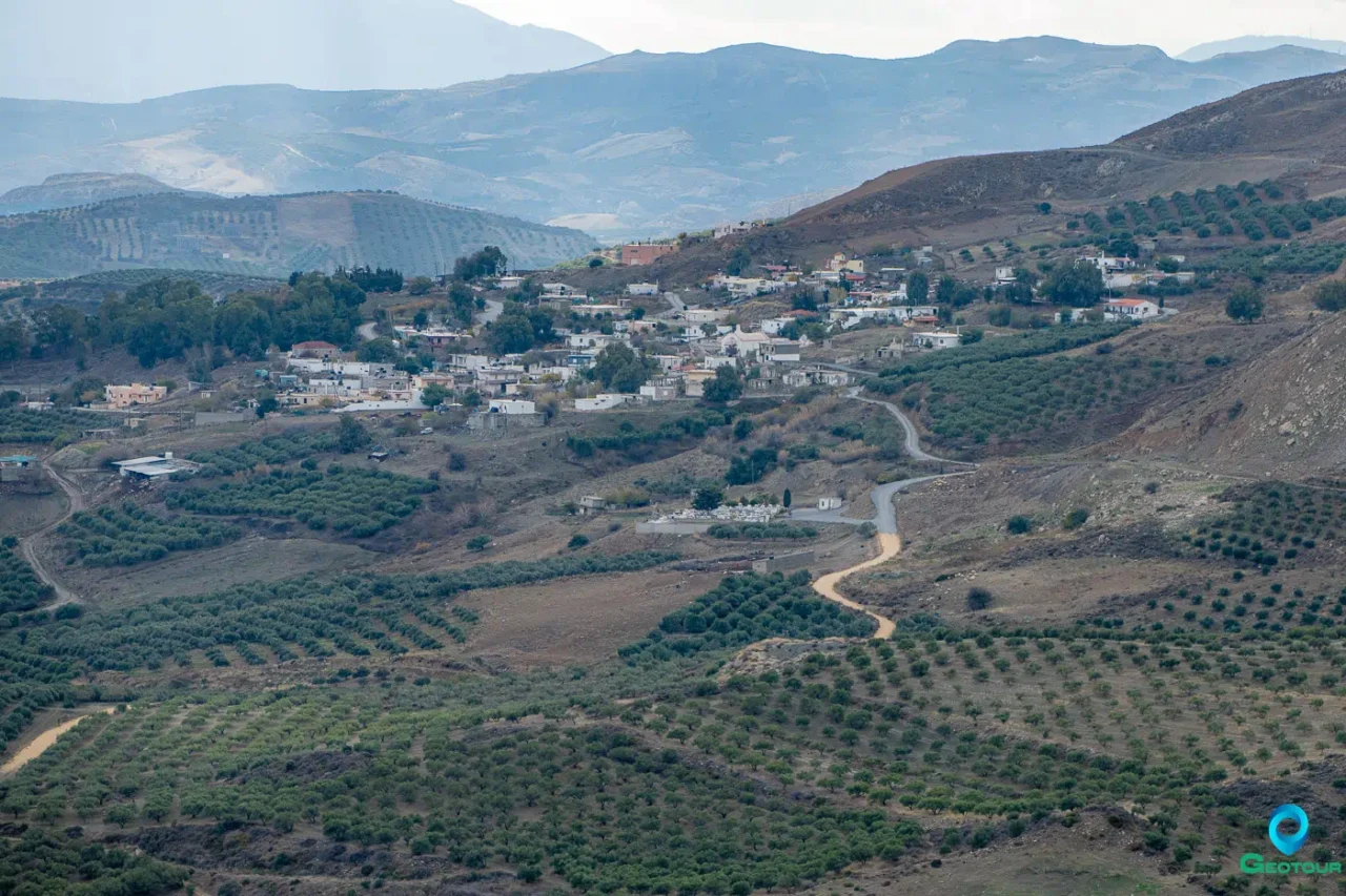
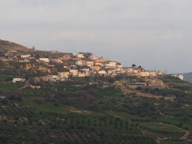
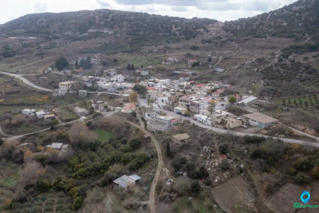
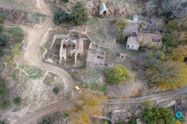
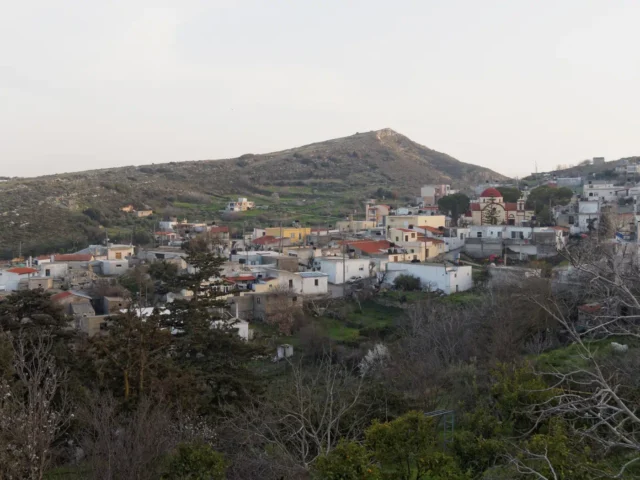
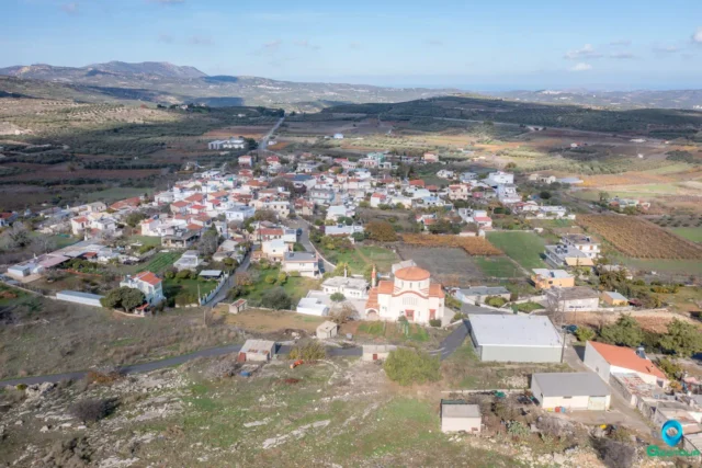
Amourgelles is a village in the Municipality of Minoa Pediada, Heraklion regional unit, Crete, Greece. It is part of the Panorama community. The village is situated at an altitude of 440 meters on the western slopes of the Amygdalokefalo hill, approximately 35 kilometers from Heraklion city.
The main occupation of the residents is agriculture, with the production of olive oil and raisins being the primary agricultural activities.
History
The village is mentioned in the 1583 Venetian census of Castrophylacas under the name “Amuriles” with 39 inhabitants. During the Ottoman period, Amourgelles was inhabited solely by Turks. The 1881 census records 128 inhabitants, all Turkish.
On August 20, 1823, a battle took place near Amourgelles between the Ottoman forces of Hussein Pasha and Cretan rebels led by Roussos Vourdoumbas. The Ottomans were victorious in this bloody conflict.
After the liberation of Crete from Ottoman rule and the population exchange between Greece and Turkey in the 1920s, Greek refugees from Cappadocia and Smyrna settled in Amourgelles.
Landmarks
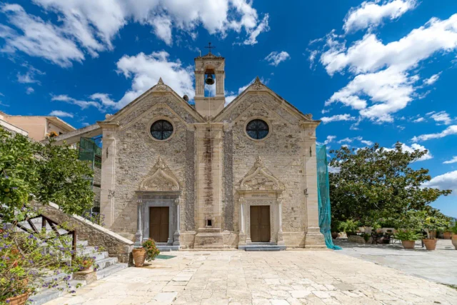
- Church of Saint Nicholas: The village church.
- Amourgelles Dam: A large dam located 1 kilometer south of the village, at an altitude of 300 meters. It covers an area of 150 stremmas (approximately 37 acres) and is an important water source for the region. The dam is surrounded by olive groves and offers scenic views. There are benches, birdwatching observatories, and kiosks around the lake. The lake attracts various bird species, especially during the spring and autumn migration seasons.
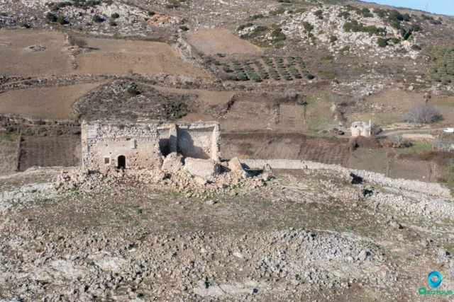
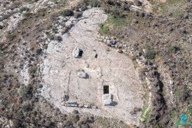
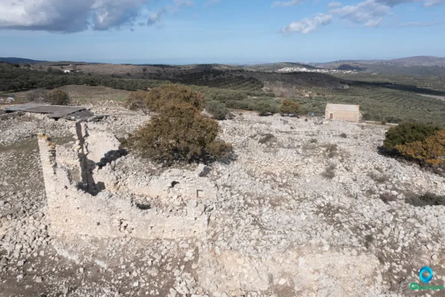
- Petrokefalo Hill: Located in the vicinity of the village, this hill has the ruins of a fortress of unknown date.
Village Key Points
- Historical References:
- 1583 Venetian census of Castrophylacas as “Amuriles” with 39 inhabitants.
- Location: Municipality of Minoa Pediada, Heraklion regional unit, Crete, Greece. 35 km from Heraklion city.
- Altitude: 440 meters
- Historical Significance: Ottoman-era village, site of a battle in 1823, settlement of Greek refugees from Asia Minor.
- Population:
Year |
Population |
|---|---|
1583 |
39 |
1881 |
128 |
1991 |
257 |
2001 |
211 |
2011 |
199 |
2021 |
212 |
- Current Status: Active village with a primarily agricultural economy.
Access
Amourgelles is 7.9 kilometers away from Arkalochori and 4.8 kilometers away from Tefeli








There are no comments yet.