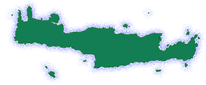
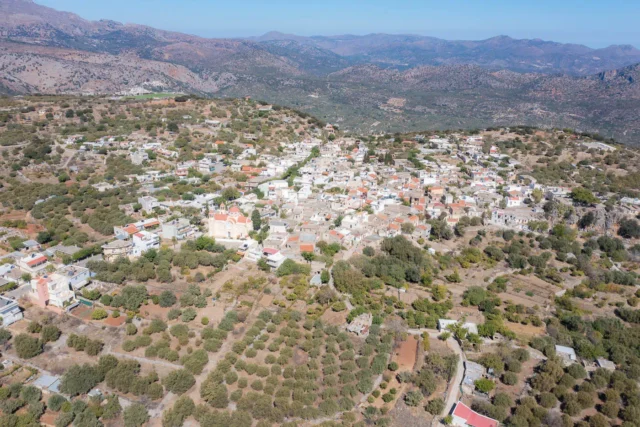
Agios Nikolaos (Saint Nicholas) is a coastal town in Crete, Greece, and the capital of the Lasithi regional unit. It lies east of the island’s capital Heraklion, north of Ierapetra, and west of Sitia. It is situated on the Mirabello Bay, on the island’s north coast.
History
Ancient Times
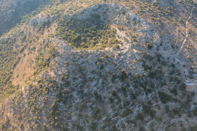
The current town is built on the site of ancient Lato pros Kamara, the seaport of Lato Etera (a significant Dorian mountain city 3.5 kilometers north of Kritsa). The two cities formed a single administrative unit in the 3rd century BC. They worshipped the same goddess, Eileithyia, protector of childbirth, and had uniform coins that depicted Eileithyia or Artemis on one side and Hermes with the word LATIΩΝ on the other. The citizens of Lato pros Kamara called themselves Kamarites.
Lato pros Kamara, as a port, developed during this period in terms of population and economy, while, in contrast, Lato began to decline. Statues, inscriptions, and many tombs have been found in the river area from this period. The grave goods, many of which are interesting, are exhibited in the Archaeological Museum.
During the first Byzantine period, it continued to exist as a remarkable city, the Diocese of Kamara, as mentioned in the Synecdemus by Hierocles.
Venetian Times
At the beginning of the 13th century, perhaps in 1206, a fortress was built on the hill where the prefecture is today, possibly by the Genoese Enrico Pescatore. The fort was named Mirabello and gave its name to the Mirabello province and the bay. The castle was destroyed by a strong earthquake in 1303, but the Venetians rebuilt it. In 1374, it is referred to as Castro Mirabelli and had a salt1 warehouse from the salt pans of Elounda, which was then exported to Europe. The fort was abandoned and became a warehouse when the revolts against the Venetians stopped.
The Mirabello fortress was destroyed in 1537 by Turkish pirates but was rebuilt to a design by Michele Sammicheli. A settlement (bourg) developed around the fort. In the census of Kastrofylakas (K97), the settlement is referred to as Mirabello proprio with 753 inhabitants, mainly fishermen. In 1630, Francesco Basilicata referred to it as Mirabello Castello and that in Greek, the settlement was called Voulismeni, after the lake.
In 1646, during the Great Cretan War, the commander Colonel Baldella immediately surrendered the fort to the Turks who surrounded it. This act was considered treason, and Baldella was hanged. The Venetians recaptured the fort, but since they could not keep it in their possession, they destroyed it since the fortress of Spinalonga covered their needs.
In 1671, it is referred to in the Turkish census as Nefs Meranblo with 42 charatsia, which means that it was inhabited. In the Egyptian census of 1834, it is not mentioned, and the area was uninhabited. However, the port was used to export products from the province, such as carobs. In 1845, Victor Raulin reported that there were four ruined churches that were used as carob warehouses.
Modern Settlement
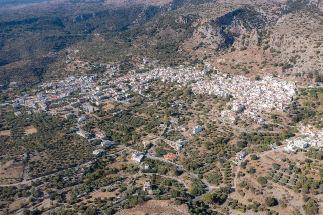
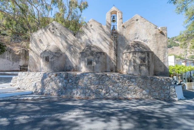
The modern settlement was created with the revolution of 1866 by residents of Fourni, Kritsa, Heraklion, and Sfakia. The ruins of the Venetian fortress were used as building materials for the new buildings. It is mentioned for the first time in the 1881 census when it had 87 Christian and 8 Turkish residents. Initially, it was called Mandraki but took the name Agios Nikolaos from the small 9th-century Byzantine church located on the Ammoudi peninsula, about 2 kilometers north of the town. In 1900, Agios Nikolaos became the seat of the Municipality of Kritsa. In 1904, the seat of the Lasithi Prefecture was moved from Neapoli to Agios Nikolaos.
Lake Voulismeni
Lake Voulismeni (‘Lake’ for the people of Agios Nikolaos) is a small lagoon in the town’s center. The lake is connected to the town’s harbor by a canal opened in 1870. Many ancient myths mention the Lake, the oldest of which say that the goddesses Athena and Artemis bathed in it. Two urban myths are connected to the Lake: that there is no bottom and that the Lake is connected to the Santorini volcano. The latter myth is based on the fact that during the last eruption of the volcano, the waters of the Lake swelled and flooded the warehouses around it, as well as the fact that dead fish appeared on its surface. At the bottom of the lake, there is war material abandoned by German soldiers before they left at the end of the Second World War.
Points of Interest
- A park with pine and tamarisk trees above the Lake offers panoramic views of the town. A stone path starts from this park, winds between the trees, and ends on the south side of the Lake, where small fishing boats moor.
- Spinalonga is a fortified island that was used as a leper colony. Now some of its buildings and houses are preserved as archaeological sites, and there are tourist offices that transport tourists by boat to the island from Elounda, Plaka, and Agios Nikolaos, where they are guided to the specific points of the island where access is allowed.
- The Marina of the Municipality of Agios Nikolaos, where sailing races are organized.
- Amalthea’s Horn, a sculpture made by the local, recognized artists, the Sotiriadis brothers, has been erected in a stone-built seaside patio so that it has the Gulf of Mirabello and the islet of Agioi Pantes as a backdrop.
- The Abduction of Europa, a 4-meter-high statue designed by the award-winning director Nikos Koundouros and sculpted by the sculptors Nikos and Pantelis Sotiriadis. It is located on the new pier of the port of Agios Nikolaos. It is made of bronze, steel, and glass, entirely hand-forged, while its weight is close to 6 tons.
- Nearchos Square, as the oldest KTEL square is called, is designed with mosaic marine motifs by the architect Maro Dagiantis.
- The stairs of the town are quite interesting. As the town is built on hills, stairs are a characteristic feature, with several architects in the area having designed one each. The visitor, while walking along the coastal road, can enjoy the painted motifs on the stairs that lead to the town center.
- Kitroplateia, a square with a small beach, from which a stone-built pedestrian street starts, follows the coastline, and ends at the Marina. Its name comes from the trade in citrons since, from this beach and due to its depth, the merchant caiques could load before the town even had a port.
- The hill of Agios Charalambos, next to the church of the same name, is a grove of pine trees with an old water tank on the roof of which two pine trees grow. From the hill, one has a panoramic view of the town and the bay. Also, the hill of the museum with the church of Agios Andreas (Saint Andrew) and the adjacent grove.
- The islets of Agioi Pantes and Faros are an example in Natural History because, while they are only a few meters apart, the species of fauna and flora they host have evolved differently. Cretan wild goats, the Kri-Kri, have been transferred to the island of Agioi Pantes since the middle of the last century to keep the species pure.
Settlement: Key Points
- Historical references: Lato pros Kamara, Mirabello
- Location: North coast of Crete, on the Mirabello Bay
- Historical significance: Ancient seaport, Venetian fortress
- Population data:
Year |
Population |
Notes |
|---|---|---|
1583 |
753 |
Mirabello proprio |
1881 |
95 |
87 Christians, 8 Muslims |
1900 |
509 |
|
1928 |
1124 |
|
1940 |
2481 |
|
1951 |
3167 |
|
1961 |
3709 |
|
1971 |
5002 |
|
1981 |
8130 |
|
1991 |
8093 |
|
2001 |
10080 |
|
2011 |
11421 |
|
2021 |
12149 |
- Current status: Capital of Lasithi regional unit, popular tourist destination


There are no comments yet.