
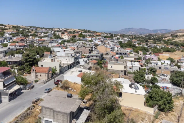
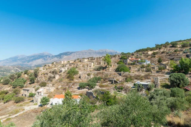
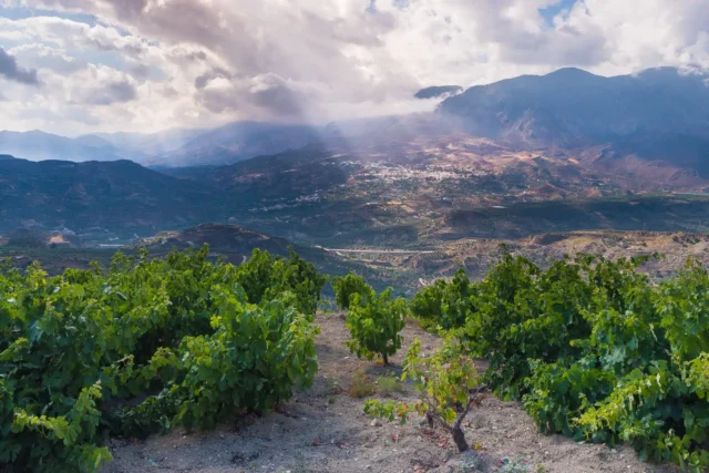
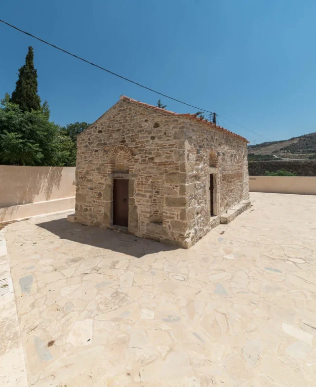
Agia Varvara is a town and the seat of the municipality of Gortyna in the Heraklion regional unit on the island of Crete, Greece. It previously belonged to the Monofatsio province. The town serves as a crossroads for the Messara plain and the southern parts of Psiloritis. The climate is cool and suitable for summer stays. The main occupations of the residents are olive growing and viticulture. The town is also known for its vegetables. The central church, which gave its name to the village, is dedicated to Saint Barbara. Other significant landmarks include the old church and the Byzantine churches of Prophet Elias, Saint John, and Saint George, as well as the old monastery of Saint Pelagia (located in the village cemetery). A traditional festival is organized on December 4th, the feast day of the town’s patron saint. Similar events are held during Carnival by the Beautification and Cultural Association and in early July, with Cretan music in the village square.
Historical Context
Agia Varvara’s historical presence is well-documented, stretching back centuries. Venetian censuses from the 16th and 17th centuries, including the detailed Kastrofylakas, consistently mention the village. By the Egyptian census of 1834, it had grown to encompass 40 families. In 1881, it was part of the larger municipality of Megali Vrysi, with a recorded population of 450 residents. The village’s significance increased in 1925 when it was designated as its own community, marking a turning point in its administrative status and subsequent population growth.
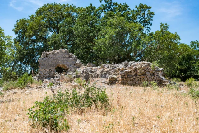
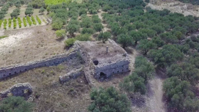
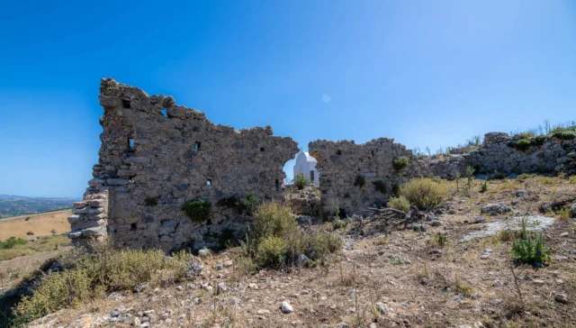
Evidence suggests that the area has been inhabited since ancient times, potentially even during the Minoan period. This long history of settlement is supported by the presence of several old churches in the region, including Agios Georgios o Hostos, Agia Pelagia, and the old church of Agia Varvara.
The village also played a role in the Greek War of Independence, as evidenced by the 1823 encampment of Hussein Bey and his troops. The subsequent battle at Ammourgeles, resulting in a defeat for the Christian forces, highlights the sacrifices made by the local population in their struggle for freedom. The Turks’ destruction of the village in 1866 further underscores the turbulent nature of this period.
Location and Dimensions
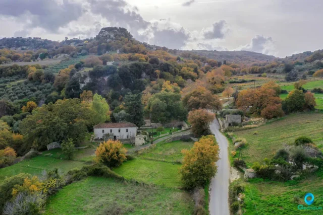
Agia Varvara enjoys a strategic location in the southwestern part of the Heraklion regional unit, nestled in the mountainous terrain on the northeastern slopes of Psiloritis. This elevated position, at an average altitude of 578 meters, offers stunning views of the surrounding landscape and a cool climate, particularly pleasant during the hot summer months. The village itself covers an area of 15.260 km² and is classified as a rural mountainous settlement. It is conveniently situated approximately 30 km southwest of Heraklion, making it accessible while retaining its tranquil mountain charm.
Population Over The Years
Year |
Population |
|---|---|
1961 |
1,684 |
1971 |
1,573 |
1971 |
1,694 |
1991 |
2,029 |
2001 |
2,115 |
2001 |
2,143 |
2011 |
2,020 |
2011 |
2,043 |
Current Status
Today, Agia Varvara thrives as a modern town, offering a range of organized services to cater to both residents and visitors. The presence of essential amenities such as a town hall, health center, post office, banks, schools, and childcare facilities ensures a good quality of life for the local population. The town also boasts a vibrant commercial sector, with numerous shops and craft businesses contributing to its economic vitality. The Women’s Cooperative “Ergani” plays a crucial role in preserving cultural heritage through the production of traditional Cretan costumes. The active Environmental Association and Cultural Association further enrich the community through their initiatives and events.
Agia Varvara’s strategic location, historical significance, and modern amenities make it an attractive destination for visitors. Its rich history, evident in its numerous churches and landmarks, offers a glimpse into the island’s past. The surrounding natural beauty, coupled with the town’s cool climate and agricultural produce, adds to its allure.
Village Key Points
- Historical Significance: A historic town with roots dating back to the Minoan era, strategically located and involved in various conflicts throughout Cretan history.
- Location: Situated in the mountainous region of southwestern Heraklion, considered the geographical center of Crete.
- Population: A thriving community with a population of over 2,000 residents.
- Current Status: A modern town with essential amenities, a vibrant commercial sector, and a rich cultural life.
- Points of Interest: Byzantine churches, traditional festivals, and local agricultural produce.


There are no comments yet.