
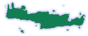
Agia Paraskevi is a village and the seat of the homonymous community in the Amari Municipality, in the Rethymno regional unit of Crete, Greece. It is built at an altitude of 160 meters, 60 km southeast of the capital of the prefecture, Rethymno. Situated amidst a verdant landscape, this picturesque settlement offers a serene escape from the bustling tourist hubs, providing a glimpse into the authentic heart of Cretan life. Its name, derived from the revered Byzantine church of Agia Paraskevi, reflects the village’s deep-rooted religious heritage. The village’s strategic location in the fertile Amari valley has played a pivotal role in its development, fostering agricultural activities and shaping its cultural identity.
Historical References
The settlement is mentioned in Venetian records of 1577 as S(an)ta Venerand, while in a census conducted a few years later (1583) it is mentioned as Santa Veneranda, with a population of 95 inhabitants. The settlement is also mentioned in the last Venetian census conducted in 1630, a few decades before the Ottoman conquest of Crete, where it is mentioned as S. Veneranda, Sagudhi, possibly referring to the feudal lord of the area. In 1834, according to the data of the Egyptian census – as it is presented in the book of the English traveler Robert Pashley – 15 Christian families lived in Agia Paraskevi. In 1879 the village was placed under the municipality of Apodoulou in the province of Amari and according to the Ottoman census of 1881 it had a population of 78 inhabitants (44 men and 34 women, all Christians). In 1894, according to an estimate by the Greek army officer, Nikostras Kalomenopoulos, 25 Greek families lived in the village. After the liberation of Crete and its incorporation into the Greek state, it was placed under the province of Amari, in the community of Agios Ioannis.
During the German Occupation, several residents of the village joined the organizations of the National Resistance (mainly EAM). In fact, in May 1944, the settlement became a refuge for the group of British agents and Greek resistance fighters who had kidnapped the German Lieutenant General Kreipe. At the same time, fruitless searches were carried out in the area by the Occupation forces in search of Kreipe.
After the war, Agia Paraskevi suffered a noticeable decrease in its population as several residents left for urban centers (mainly Heraklion) in search of work. In 1997, within the framework of the changes brought to local government by the Kapodistrias plan, the settlement was annexed to the municipality of Kouriton, while since 2011 it has been part of the Kallikratis municipality of Amari.
Location and Dimensions
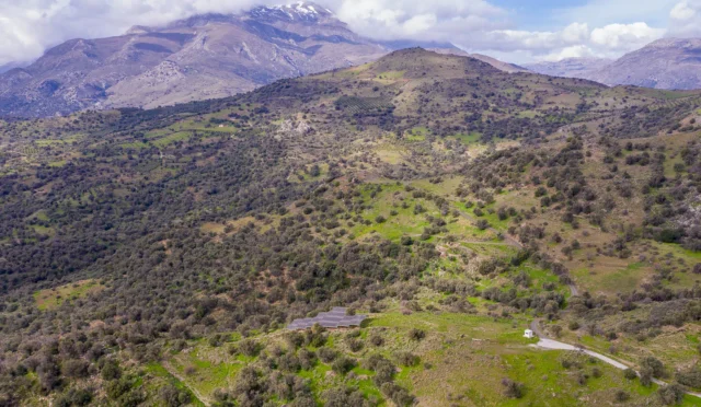
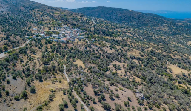
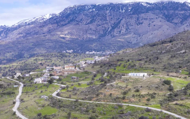
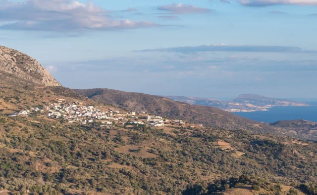
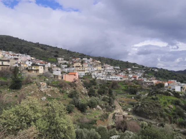
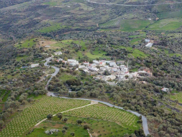
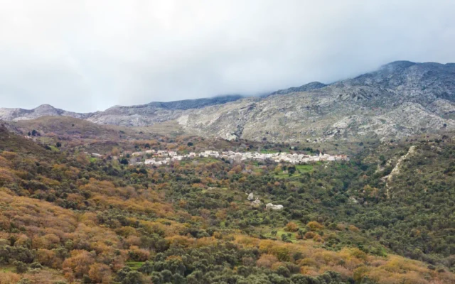
Agia Paraskevi occupies a picturesque location in the southern part of the Amari valley, approximately 60 kilometers southeast of Rethymno, the capital of the prefecture. The village is situated at a moderate altitude of 160 meters above sea level, offering a pleasant climate with mild winters and warm summers. Surrounded by rolling hills, olive groves, and vineyards, the village enjoys a serene and idyllic setting. Its proximity to other significant settlements in the Amari region, such as the villages of Agios Ioannis and Thronos, further enhances its accessibility and connectivity.
Historical Significance
Agia Paraskevi’s historical significance extends beyond its idyllic setting. The village has witnessed pivotal moments in Cretan history, including the Venetian and Ottoman eras, leaving an indelible mark on its cultural landscape. During the German Occupation of World War II, Agia Paraskevi played a crucial role in the resistance movement, providing shelter to British agents and Greek partisans involved in the daring kidnapping of German Lieutenant General Kreipe. This act of defiance underscores the village’s unwavering spirit and its commitment to freedom.
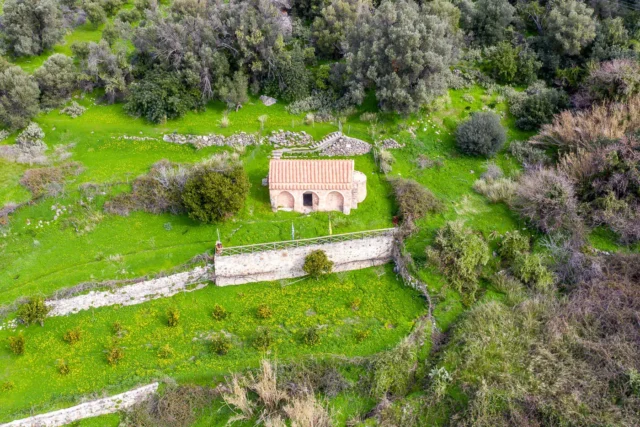
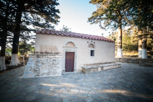
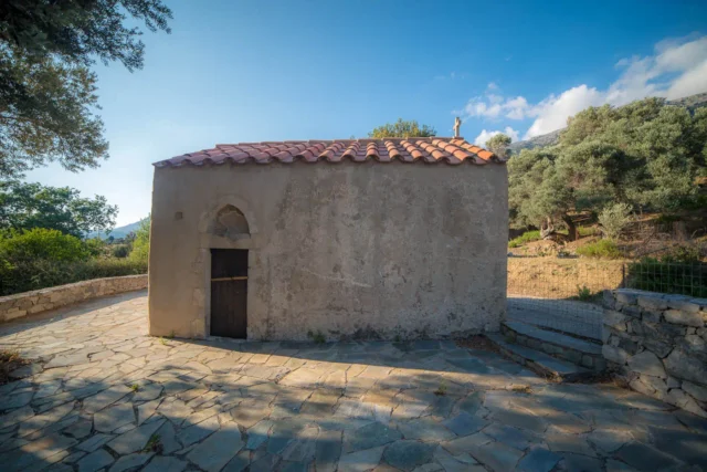
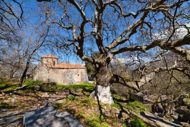
The village is also home to several historical landmarks, including the Byzantine church of Agia Paraskevi, which dates back to the 15th century and lends its name to the village. The church of the Dormition of the Virgin Mary, built in 1516, showcases well-preserved 16th-century frescoes and a dedicatory inscription, offering a glimpse into the rich artistic traditions of the past.
Furthermore, Agia Paraskevi is the birthplace of notable figures who have made significant contributions to Cretan society. Among them are Stylianos Pattakos, a military figure and leading member of the Greek military junta of 1967-1974, and Michalis Pattakos, a prominent resistance fighter and leader of the National Liberation Front (EAM) in the Amari region during World War II. These individuals, along with the village’s historical landmarks and its role in pivotal events, highlight the enduring legacy of Agia Paraskevi in the broader context of Cretan history.
Population data over the years
Census Year |
Population |
|---|---|
1583 |
95 |
1881 |
78 |
1900 |
157 |
1928 |
169 |
1940 |
188 |
1951 |
157 |
1961 |
154 |
1971 |
97 |
1981 |
90 |
1991 |
127 |
2001 |
88 |
2011 |
124 |
2021 |
78 |
Current Status
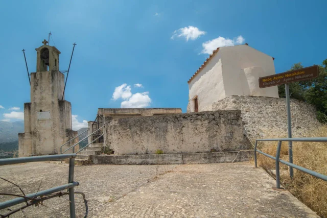
The inhabitants of Agia Paraskevi are mainly engaged in agricultural activities. The settlement has three churches: the central one is dedicated to Agios Stylianos, while the other two are dedicated to Agia Paraskevi and the Dormition of the Virgin Mary. Of these, the first has a bell made from a World War II bomb shell, while the second is a 1516 building in which 16th-century frescoes and a dedicatory inscription are preserved.
Village Key Points
- Historical References: The village is first mentioned in Venetian documents from 1577. It played a role in the resistance against the German Occupation during World War II.
- Location: Agia Paraskevi is situated in the southern part of the Amari valley, 60 km southeast of Rethymno.
- Historical Significance: The village was involved in the resistance against the German Occupation and is the birthplace of notable figures.
- Population data over the years: The population has fluctuated over time, with the 2011 census recording 124 inhabitants.
- Current Status: The village is primarily agricultural, with residents engaged in farming. It features three churches, including the Byzantine church of Agia Paraskevi, from which the village derives its name.
Access
Agia Paraskevi is 10.4 kilometers away from the town Tympaki and 6.3 kilometers away from Fourfouras


There are no comments yet.