
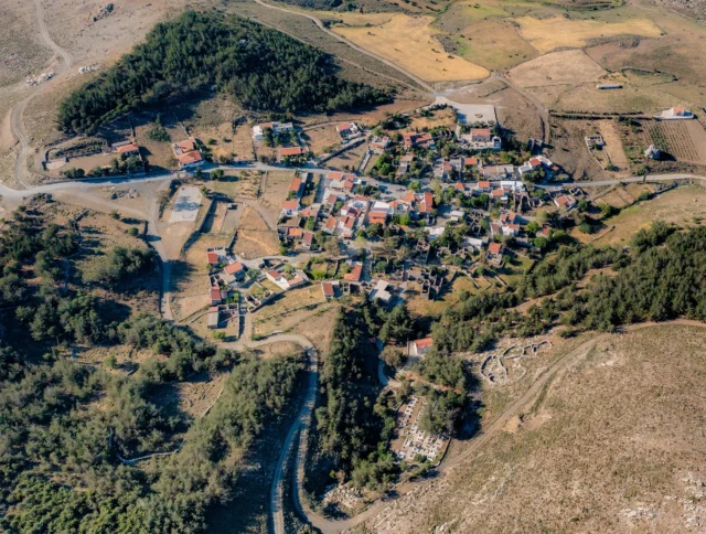
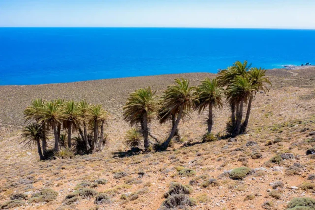
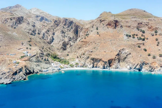
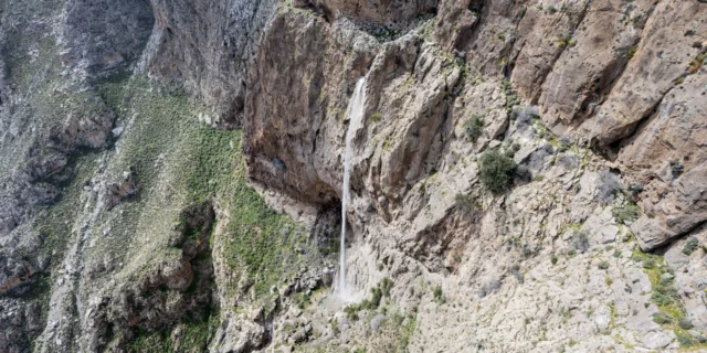
Achentrias, also known as Ochentrias, is a village and the seat of the eponymous community in the Archanes-Asterousia municipality, located in the Heraklion regional unit on the island of Crete, Greece. Achentrias boasts several attractions, including the Byzantine church of Agios Dimitrios, the Monastery of Agios Nikitas with its famous palm forest, and numerous caves such as Archontospelios and Choirospilios. The village is also a starting point for several hiking trails, including the scenic route connecting Achentrias to the Monastery of Agios Nikitas and the coastal settlement of Maridaki through the Achentrias Gorge.
Historical References
The village of Achentrias boasts a history that can be traced back to at least the 16th century, as evidenced by its inclusion in historical records and censuses. One of the earliest references to the village can be found in the catalog of Barozzi, dating back to 1577, where it is listed under the name “Aghiendra metochio.” Further documentation of its existence during the Venetian era comes from Kastrofilakas (K98), which mentions the village with a population of 25 inhabitants. The name “Ochiendrea” appears in Basilicata’s records, offering another perspective on the village’s historical nomenclature.
The 1881 census provides a glimpse into Achentrias’ demographic landscape during the Ottoman period, indicating a population of 282 inhabitants at that time. The village was then part of the Municipality of Charakas, suggesting its integration into a broader administrative structure. The 1971 census recorded a significant increase in population, reaching 560 inhabitants, possibly reflecting a period of growth and prosperity.
Location
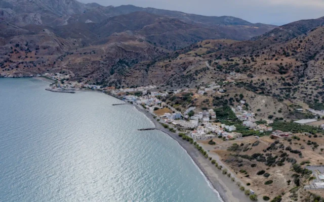
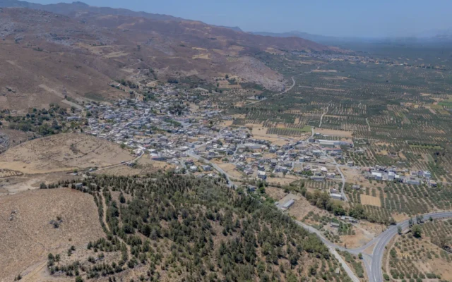
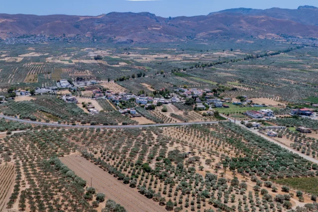
Achentrias is strategically situated on a small cultivated plateau nestled amidst the rugged terrain of the Asterousia Mountains in southern Crete. The village’s location offers a unique blend of accessibility and seclusion, with its position on the plateau providing a sense of openness while being surrounded by the dramatic cliffs and gorges that characterize the Asterousia range. The village lies approximately 40 kilometers south of Peza, the administrative center of the municipality, and 55 kilometers south of the bustling city of Heraklion.
Population Data Over the Years
While the earliest recorded population figure is 25 inhabitants in the Kastrofilakas census, the village experienced growth during the Ottoman period, reaching 282 inhabitants in 1881. A further increase was observed in the 1971 census, with the population reaching 560. The 2011 census recorded a population of 264 for the entire Achentrias community, which includes the nearby settlements of Agia Paraskevi, Agios Nikitas, and Agios Panteleimonas.
Year |
Population |
|---|---|
1583 |
25 |
1881 |
282 |
1971 |
560 |
1991 |
323 |
2001 |
283 |
2011 |
264 |
1961 |
627 |
1971 |
560 |
1981 |
424 |
1991 |
312 |
2001 |
294 |
2011 |
264 |
Historical Significance
The name “Achentrias” itself holds historical significance, derived from the Cretan word “ochentra,” meaning viper. This etymological link suggests that the area was once known for its viper population, offering a glimpse into the natural environment and potential challenges faced by the early inhabitants.
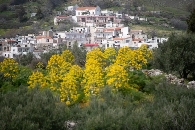
The village’s architectural landscape, characterized by traditional Cretan stone houses and structures, reflects its rich cultural heritage and connection to the island’s past. The presence of the Byzantine church of Agios Dimitrios further underscores the village’s historical depth, serving as a reminder of the enduring influence of Byzantine culture and religion in the region.
Current Status
Today, Achentrias stands as a resilient community, preserving its traditional way of life amidst the changing tides of modernity. Livestock farming, particularly the raising of sheep and goats, remains the primary economic activity, with the village’s cheese renowned for its quality and flavor. Agriculture also plays a role, contributing to the local economy and providing sustenance for the residents.
The village’s cultural heritage is evident in its well-preserved architecture, its religious sites, and its vibrant community life. The annual celebration of the Transfiguration of the Savior on August 6th brings together residents and visitors, fostering a sense of shared identity and belonging.
Village Key Points
- Historical References: One of the earliest mentions of Achentrias is in the province of Monofatsi by Barozzi in his catalog in 1577 (under the name Aghiendra metochio). It is also mentioned by Kastrofilakas (K98) with 25 inhabitants and by Basilicata with the name Ochiendrea. In 1881, it was listed as Achentrias in the Municipality of Charakas with 282 inhabitants. The 1971 census recorded 560 inhabitants.
- Location: Situated on a small cultivated plateau west of Asfentylia mountain, north of the cliffs and gorges that lead to the southern coastline, in the Heraklion regional unit, Crete. It is approximately 40 km south of Peza (the seat of the municipality) and 55 km south of Heraklion city.
- Historical Significance: The name Achentrias is derived from the Cretan word for snake, “ochentra,” indicating a place with many snakes. The village is known for its traditional Cretan architecture and its role as a livestock farming community.
- Current Status: Achentrias is a characteristic example of a living livestock village in the Asterousia Mountains. Most residents are involved in livestock farming, particularly sheep and goats, producing meat, milk, and cheese. The village also has a primary school.
Access
Achentrias is 17.9 kilometers away from the town Arkalochori and 6.7 kilometers away from Pyrgos


There are no comments yet.