Alagni, Archanes - Asterousia
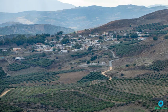
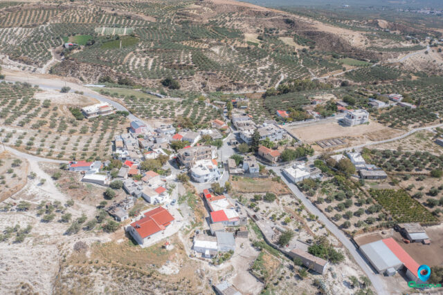
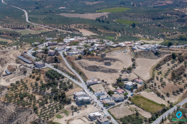
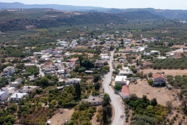
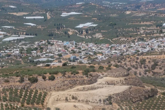
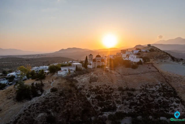
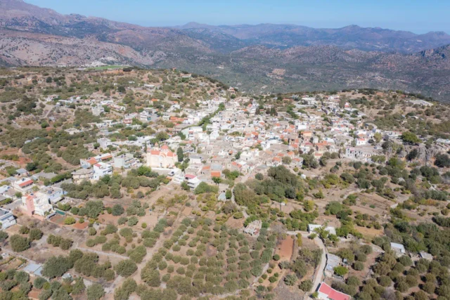
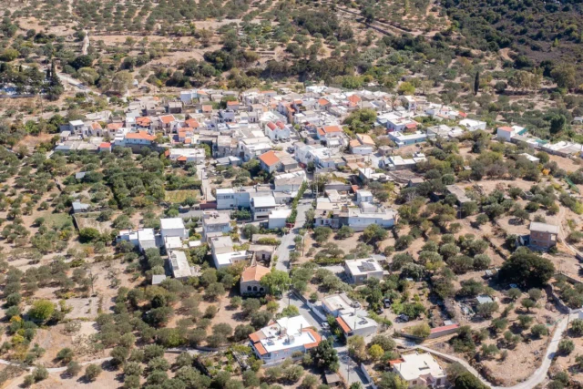
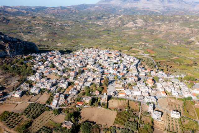
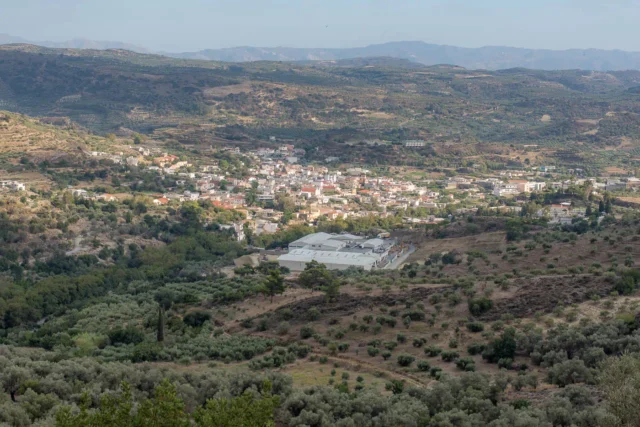
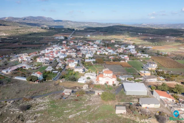
Alagni, a village 25 kilometers from Heraklion, Crete, has a history rooted in the Minoan civilization. The village's name is believed to be derived from the nymph Alagonia, and ruins of a temple dedicated to her are said to be found on Tholi hill. Alagni is near the Minoan palace of Galatas, built around 1700-1600 BC. The village itself is home to a Minoan farmhouse and appears in historical records as early as 1583.
Alagni has several notable churches: Agios Vlassis, Sotira, Agios Georgios, Panagia, Panagia of Rouma, and Agioi Apostoloi. The latter, built in the 15th-16th century, bears the emblem of the Venetian Cornaro family.
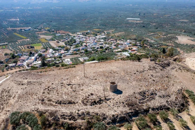
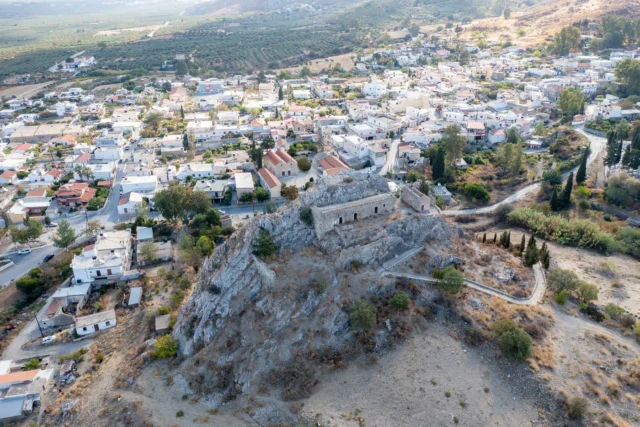
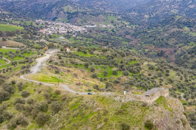
Other significant landmarks include the deserted settlement of Rouma and Koursamos, where a cluster of winepresses dating back to the 16th-17th centuries exists. The Tholi Fortress, a small fortress from the late Venetian period (16th-17th century), is located on a hilltop west of Alagni.
The village's economy has traditionally centered around agriculture, particularly the cultivation of grapes and olives for wine and oil production.

Amigdalos, Archanes - Asterousia
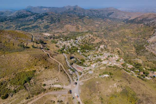
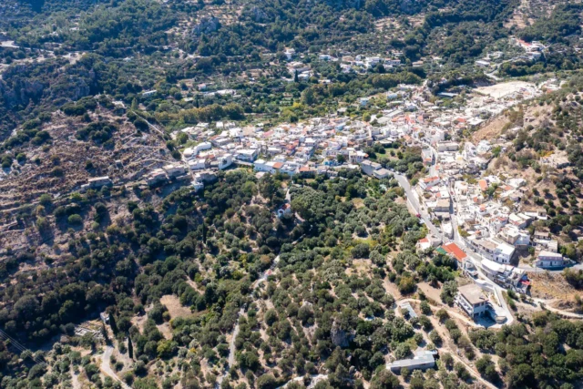
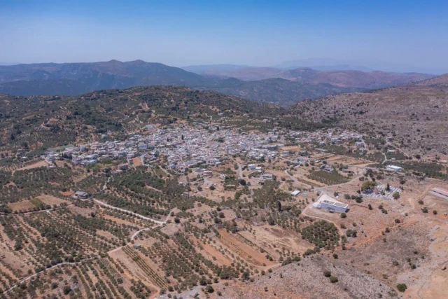
Amigdalos (Αμύγδαλος) is a small mountainous village in the Municipality of Archanes-Asterousia in the Heraklion Regional Unit, Crete, Greece. It is located at an altitude of 595 meters, approximately 50 km south of Heraklion and 37 km south of Epano Archanes. The village was first officially recognized as a settlement in 1925. The name "Amigdalos" means "almond tree" in Greek, likely named after the abundance of wild almond trees in the surrounding region. Amigdalos has experienced a steady population decline throughout the 20th and 21st centuries.

Amiras, Viannos
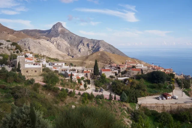
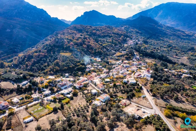
Amiras, a small village nestled on the southern slopes of Mount Dikti in Crete, boasts a rich history dating back to the Arab occupation of Crete (824-961 AD). Its name, derived from the Arabic word for "ruler," suggests it may have been the site of an Arab amir's residence. The village is tragically known for the 1943 massacre of 117 male residents by Nazi forces, a somber event commemorated by an annual memorial service. Today, Amiras maintains an agricultural economy, cultivating early vegetables and producing olive oil. Its Cultural, Athletic, and Educational Association actively contributes to social events and cultural projects, enriching the community's vibrant spirit. Despite its tragic past, Amiras remains a testament to resilience and the enduring power of community.

Chandras, Siteia
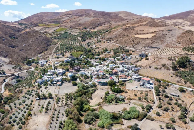
Chandras, a village in the Siteia municipality of Lasithi, Crete, sits at 580 meters above sea level on the Armenohandrades plateau. Likely founded during Arab rule, its name may derive from the Arabic word for "green". The village was recorded in a 1577 census as Ghandra and in a 1583 census as Candra with 403 inhabitants.
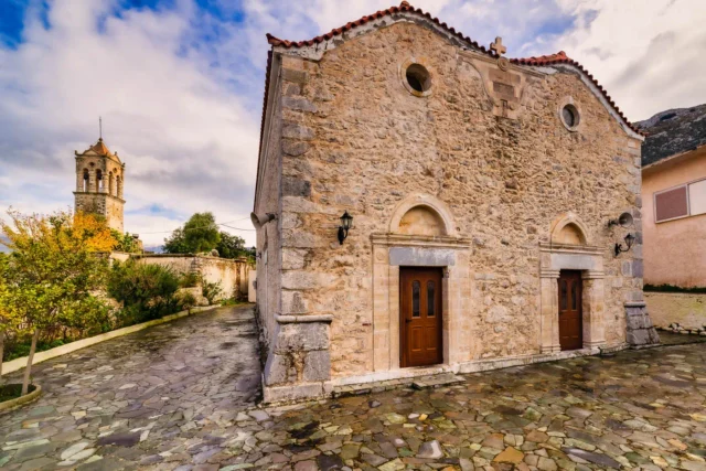
The old village center, "Mesochoria", houses the churches of Agios Dimitrios and the Assumption of the Virgin Mary. Remnants of an Ottoman hammam can be found there, along with a Renaissance fountain and Venetian-influenced buildings. A folklore museum is also present in the village. The church of Agios Haralambos, with its neoclassical bell tower, stands in the northern part of the settlement. Nearby, the abandoned medieval village of Voila preserves monuments from the Venetian and Ottoman periods.

Kainourgio Chorio, Chersonissos
Kainourgio Chorio, a historic village in Crete, boasts a rich history dating back to the Second Byzantine period. Despite its name, meaning "New Village," it has a long and storied past evident in its well-preserved landmarks. The village, located in the Municipality of Hersonissos, is nestled at an altitude of 220 meters. Kainourgio Chorio is home to the Foscolo Tower, a Venetian-era fortified residence that later underwent modifications during the Ottoman occupation. The village also houses the Church of Panagia and Agia Paraskevi, adorned with surviving fragments of frescoes from the Venetian period. The Venetian wine presses, some of the largest in Crete, stand as a testament to the region's historical wine production. The Wine Museum, donated by Ioannis Papadakis, offers a glimpse into the region's winemaking heritage, showcasing preserved wine production facilities and a collection of wines.
Kamilari, Phaistos
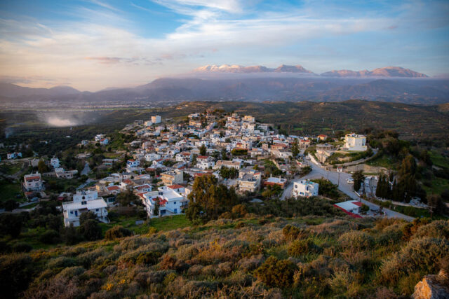
Kamilari is a village in the Asterousia mountains of Crete. Its history dates back to the Minoan era. The village's name, first recorded in 1370, is likely derived from the Byzantine family name "Kamelaris" or the term "Hamilon Oros," meaning "Low Mountain."
Kamilari is archaeologically significant, with nearby sites like the Minoan palace of Phaistos and the Kamilari Tholos Tomb. The discovery of a bothros containing terracotta figures from the Geometric period confirms the area's long history of human presence.
The village's Cultural Association works to preserve local traditions and customs. Kamilari offers a unique experience for visitors to Crete.
Kastelli (Tsifout Kastelli), Gortyna
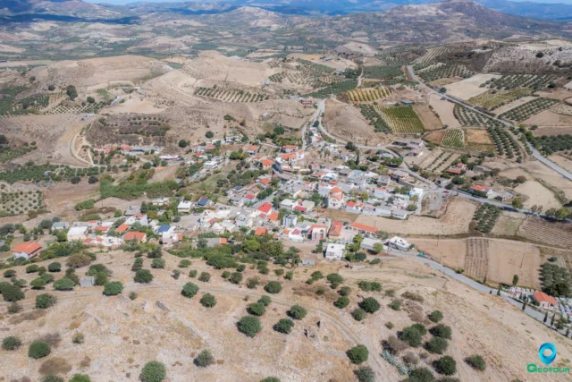
Kastelli, also known as Tsifout Kastelli (Jewish Castle), is a village in Ano Akria, Heraklion, Crete. It is 7 km north of Asimi and 44 km from Heraklion, at an altitude of 448 meters. The village, historically linked to the 13th-century Castel Bonifacio, is mentioned in documents from 1375 and 1583. Residents mainly engage in olive cultivation and livestock farming. Points of interest include the ruins of Castel Bonifacio and the Church of Constantine and Helen, which celebrates its feast day on May 21st. The village has seen a steady population with recorded numbers from 1881, 1900, 1928, 1981, 1991, 2001, 2011, and 2021.

Kato Symi, Viannos
Kato Symi is a village nestled in a fertile valley within the Viannos municipality, Heraklion, Crete. The village is surrounded by a mountainous area with the largest forest cover in the region, including the Symi forest, and the Blavopotamos river flows through it. Known for its natural beauty, the valley boasts numerous fruit trees and caves like Zymbraga Spiliaria and Kissospilios. Kato Symi is also rich in history, with significant Minoan-era archaeological finds, particularly the neo-palatial sanctuary of Hermes and Aphrodite at Krya Vrysi, dating back to 2,000 BC. The village has several notable churches, including the Church of the Panagia Galatoktismeni and Nistikoktismeni, built in 1385, and the Church of Agios Georgios with frescoes from the mid-15th century. Kato Symi has a long history, mentioned in the 1583 census as "Simi Catto." It was a site of resistance during the Ottoman period and World War II, where residents bravely fought against German forces. The village's population has declined over the years, but its historical significance and natural beauty remain.

Panorama, Minoas - Pediada
SEO from existing text
Custom Gem
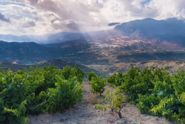
Panorama, formerly Gournia, sits at the foot of Gurniani Korfi hill in Crete, 29.5 kilometers from Heraklion, and offers magnificent views. Records suggest it may have been a Venetian fief, evidenced by a coat of arms in the church of Agios Georgios. During the Ottoman period, it was mainly a Muslim village. After the Asia Minor Disaster, Greek refugees settled there, embracing local customs and focusing on agriculture, especially viticulture. The village has churches like Agios Georgios, Agios Fanourios, and Agia Marina. The name "Gournia" likely came from the small basins at the village spring. Historical accounts mention a Byzantine church, possibly Agios Georgios Styronas. The village relied on agriculture, producing grapes, raisins, olive oil, and cereals. Viticulture remains important to the local economy. "Panorama" was adopted in 1951 due to the village's stunning views. Local legends speak of caves with hidden treasures.

Skinias, Minoa - Pediada
Skinias, a village on the eastern slope of a hill, 51.4 km from Heraklion, Crete, has a rich history dating back to the Minoan era. The name 'Skinias' comes from the Pistacia lentiscus shrub, once believed to grow on the roof of the village church, Agios Antonios. Near the ancient city of Priansos, the area boasts archaeological findings from the Minoan, Hellenistic, and Byzantine periods. First documented in 1373, Skinias was under Venetian rule in 1583 and became part of the Monofatsi province in 1867. During the Turkish occupation, it remained solely inhabited by Christians. Today, the village relies on agriculture, producing olive oil, cereals, and raisins. With a kindergarten, primary school, gymnasium, and a cultural association, Skinias fosters a strong community spirit.
Steironas, Minoas - Pediada
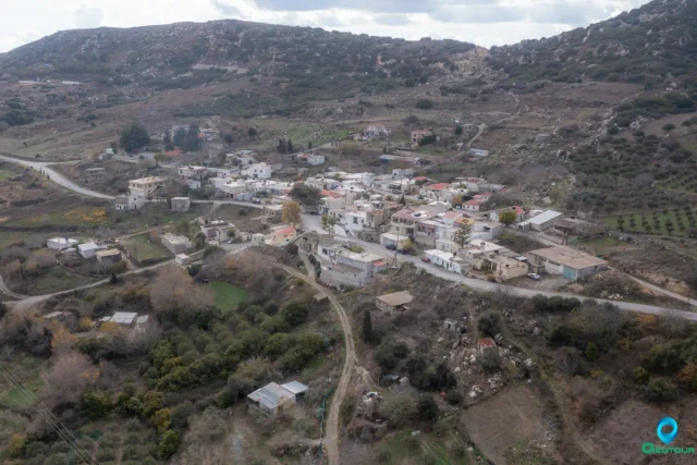
Steironas, located on a hill, 10 km west of Arkalochori, Crete, has a history from the Venetian period, Ottoman rule, and Greek-Turkish population exchange. It's known for the Myragapi Traditional Folklore Rakokazano, showcasing traditional production of wine and tsikoudia, and the late Byzantine church of Panagia with frescoes and an icon of the Virgin Mary.

Ziros, Siteia
Ziros is a village in eastern Crete, built at 590 meters on the southern foothills of Mount “Engremnos”. The area is characterized by limestone rocks with karst formations such as sinkholes and caves.
The area of Ziros is rich in archaeological remains. Near the village of Chamaitoulo, at the site of Vrysi, a large Minoan settlement with cyclopean walls has been found.
The earliest written mention of the settlement is made by Francesco Barozzi in 1577, who refers to it as Siro. In the Venetian census of 1583 it is referred to as Ziro with 448 inhabitants.
In the village are the churches of Agios Nikolaos, Agios Georgios, and Agia Paraskevi. The church of Agia Paraskevi has frescoes dating back to 1523.


